2000s (21st Century) Maps of Joshua, Texas
Explore 10 historic maps of Joshua from the 2000s (21st Century). These maps offer a rare glimpse into what life looked like during the 2000s — showing old roads, neighborhoods, homes, and landmarks that have changed or disappeared over time.
Whether you're researching your family's past, planning a metal detecting trip, or studying how Joshua's landscape evolved across the 2000s, these high-resolution maps are a powerful tool for exploring the history of this region.
- Focus on a specific era: All maps on this page are from the 2000s, giving you a focused view of this time period.
- See what’s changed: Compare century-old streets, trails, and buildings to today's modern landscape using overlays and satellite layers.
- Research with precision: Use these maps for genealogy, historical research, land use analysis, or educational projects.
- View, download, or print: Maps are fully viewable online in high resolution, and can be downloaded or printed for your own records.
Start exploring Joshua's history through authentic maps from the 2000s. This is your window into the past.
Joshua, TX maps
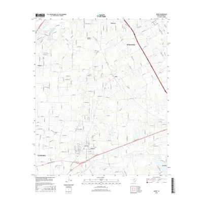
(10)- 2010 Map of Joshua, 2010 Print
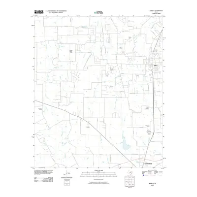 2010 Joshua2010 Print · USGSCovers Joshua, including Burleson, Cleburne, and other nearby areas
 - 2010 Map of Keene, 2010 Print
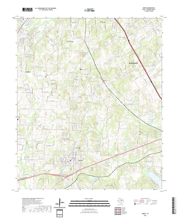
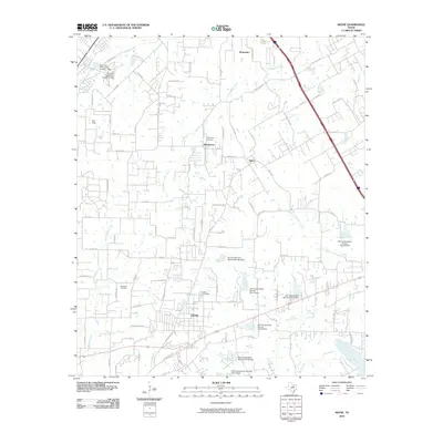 2010 Keene2010 Print · USGSCovers Joshua, including Burleson, Cleburne, and other nearby areas
 - 2012 Map of Keene, 2012 Print
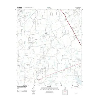 2012 Keene2012 Print · USGSCovers Joshua, including Burleson, Cleburne, and other nearby areas
 - 2012 Map of Joshua, 2012 Print
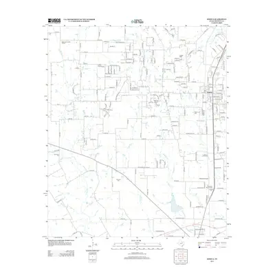 2012 Joshua2012 Print · USGSCovers Joshua, including Burleson, Cleburne, and other nearby areas
 - 2016 Map of Keene, 2016 Print
 2016 Keene2016 Print · USGSCovers Joshua, including Burleson, Cleburne, and other nearby areas
 - 2016 Map of Joshua, 2016 Print
 2016 Joshua2016 Print · USGSCovers Joshua, including Burleson, Cleburne, and other nearby areas
 - 2019 Map of Joshua, 2019 Print
 2019 Joshua2019 Print · USGSCovers Joshua, including Burleson, Cleburne, and other nearby areas
 - 2019 Map of Keene, 2019 Print
 2019 Keene2019 Print · USGSCovers Joshua, including Burleson, Cleburne, and other nearby areas
 - 2022 Map of Keene, 2022 Print
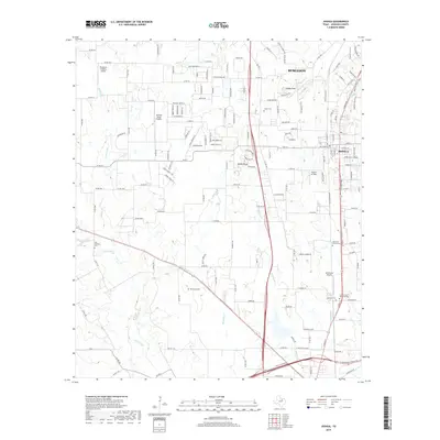
 2022 Keene2022 Print · USGSJohnson County is shown during a period of modern expansion where educational roots and old family homesteads meet. Genealogists can trace local heritage through Bethesda Cem and Lane Prairie Cem or locate the campus of Southwestern Adventist University.
 - 2022 Map of Joshua, 2022 Print
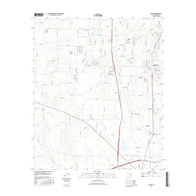
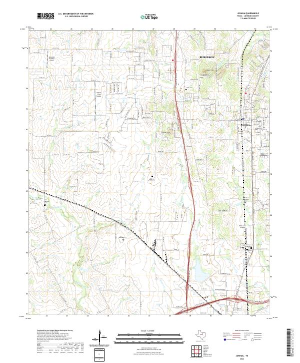 2022 Joshua2022 Print · USGSSituated in Johnson County as suburban growth meets rural ranch land, this 2022 survey captures the landscape around Joshua and Caddo Peak. Genealogists can trace family names through sites like Old Lane Prairie Cem and Buchanan Cem.
End of results
Showing maps 1-10 of 10
Top cities near Joshua
- Fort Worth historical maps
- Arlington historical maps
- Mansfield historical maps
- Burleson historical maps
- Cleburne historical maps
- Benbrook historical maps
See more
Top neighborhoods of Joshua
- Cooper Valley historical maps
- Heritage II historical maps
- Joshua Meadows historical maps
- Mockingbird Hills historical maps
- Oak Knoll historical maps
- Oak Trail Estates historical maps
See more
Frequently asked questions
- What are the different types of historical maps available for Joshua?
- What is the oldest map of Joshua?
- Where can I purchase historical maps of Joshua for my home or office?
- Where can I download high-res historical maps of Joshua?
- Are there historical topographic maps available for Joshua?
- Is there historical aerial imagery available for Joshua?
- Where are historical maps of Joshua sourced from?