2000s (21st Century) Maps of Kinney County, Texas
Explore 160 historic maps of Kinney County from the 2000s (21st Century). These maps offer a rare glimpse into what life looked like during the 2000s — showing old roads, neighborhoods, homes, and landmarks that have changed or disappeared over time.
Whether you're researching your family's past, planning a metal detecting trip, or studying how Kinney County's landscape evolved across the 2000s, these high-resolution maps are a powerful tool for exploring the history of this region.
- Focus on a specific era: All maps on this page are from the 2000s, giving you a focused view of this time period.
- See what’s changed: Compare century-old streets, trails, and buildings to today's modern landscape using overlays and satellite layers.
- Research with precision: Use these maps for genealogy, historical research, land use analysis, or educational projects.
- View, download, or print: Maps are fully viewable online in high resolution, and can be downloaded or printed for your own records.
Start exploring Kinney County's history through authentic maps from the 2000s. This is your window into the past.
Kinney County, TX maps
(160)- 2010 Map of Flat Rock Creek South, 2010 Print
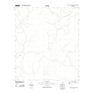 2010 Flat Rock Creek South2010 Print · USGSKinney County ranching country is mapped here in the early twenty-first century, showing a landscape defined by seasonal watercourses and private aviation. Researchers can locate the Horn Ranch Airport and trace the paths of Flat Rock Creek and East Fork Sycamore Creek.
 - 2010 Map of Cline, 2010 Print
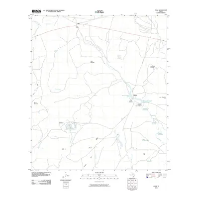 2010 Cline2010 Print · USGSThe industrial landscape of Uvalde County in the early twenty-first century is defined by its rock asphalt operations. Genealogists and historians can trace sites like Sparks Cemetery, the settlement of Blewett, and extensive mining at Whites Mine.
 - 2010 Map of Kickapoo Caverns, 2010 Print
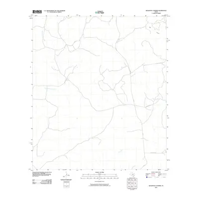 2010 Kickapoo Caverns2010 Print · USGSKinney County ranch land remains largely open and undeveloped in the early twenty-first century. Researchers can trace the rugged drainage of Big Canyon and locate remote access points along Leona Ranch Rd and RM 674.
 - 2010 Map of Mud Creek North, 2010 Print
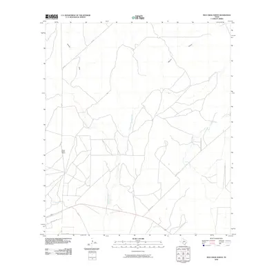 2010 Mud Creek North2010 Print · USGSVal Verde County ranch lands come into focus during the early twenty-first century, showing a landscape defined by seasonal waterways and remote airstrips. Researchers can trace the routes of Mud Creek Rd and FM 2523 as they pass Bertani Ranch Airport and Rancho Del Rio.
 - 2010 Map of Brackettville NE, 2010 Print
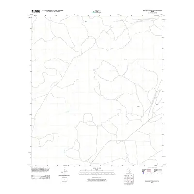 2010 Brackettville NE2010 Print · USGSKinney County ranching country is captured here during the first decade of the millennium. Local researchers can trace the course of the West Nueces River and locate landmarks like the Tularosa Airport and East Pinto Creek.
 - 2010 Map of Brackettville, 2010 Print
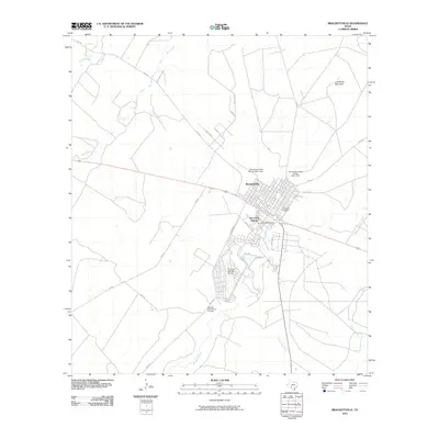 2010 Brackettville2010 Print · USGSKinney County at the start of the 2010s reveals a landscape where military history and frontier heritage remain clearly etched into the terrain. Researchers can locate the Fort Clark Historic District and unique sites like the Seminole Indian Scout Cemetery.
 - 2010 Map of Turkey Mountain, 2010 Print
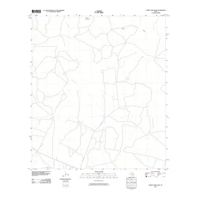 2010 Turkey Mountain2010 Print · USGSKinney County ranch lands appear in detail just after the turn of the millennium, showing a landscape defined by water and high ground. Researchers can trace rural routes like Schubach Ln and family-named landmarks including Turkey Mountain and Arenosa Creek.
 - 2010 Map of Silver Lake, 2010 Print
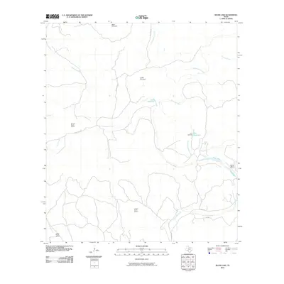 2010 Silver Lake2010 Print · USGSThe West Texas ranchlands of Kinney County are captured here in the early twenty-first century, showing a remote landscape shaped by the West Nueces River. Genealogists and researchers can locate private family landing strips like De Long Ranch Airport and trace the proximity of Silver Lake Ranch to Dutch Mountain.
 - 2010 Map of Montell, 2010 Print
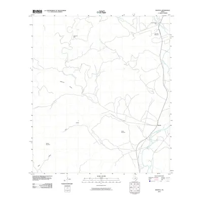 2010 Montell2010 Print · USGSThe Nueces River valley in Uvalde County is captured here in the early twenty-first century, showing the settlement of Montell and its surrounding highlands. Local historians can trace water management and landmarks from Arnold Crossing Dam to the heights of Shoe Peg Mountain and Boiling Mountain.
 - 2010 Map of Elm Mountain, 2010 Print
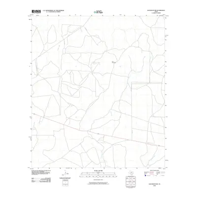 2010 Elm Mountain2010 Print · USGSKinney County ranch land is captured here in the early twenty-first century, showing a terrain shaped by vital watercourses. Genealogists and land researchers can trace property boundaries along U-Bar Ranch Rd and Garza Ln near the slopes of Elm Mountain.
 - 2010 Map of Flat Rock Creek SW, 2010 Print
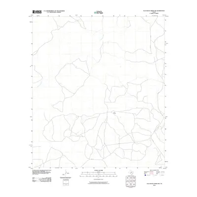 2010 Flat Rock Creek SW2010 Print · USGSVal Verde County during the early 2000s reflects the characteristic rural layout of the Texas southwest, where remote ranching operations rely on small airstrips and state roads. Researchers can trace the path of Sycamore Creek or locate the Lewis Airport near the intersection of RM 2523 and F.M. 3008.
 - 2010 Map of Bull Waterhole, 2010 Print
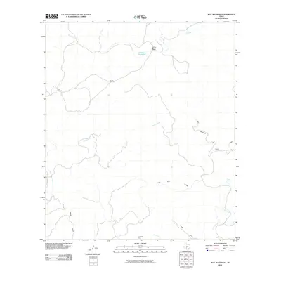 2010 Bull Waterhole2010 Print · USGSKinney County rangeland comes into focus at the start of the decade, showing a landscape shaped by water and wind. Researchers can trace land use through key points like Lost Creek Place, Stratler Windmill, and Bull Waterhole.
 - 2010 Map of Salmon Peak, 2010 Print
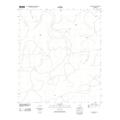 2010 Salmon Peak2010 Print · USGSKinney County ranch lands and river breaks are captured here in the early twenty-first century. Researchers can trace the winding course of the West Nueces River and locate specific local landmarks such as Salmon Peak, Soldiers Gap, and Grass Valley.
 - 2010 Map of Odlaw, 2010 Print
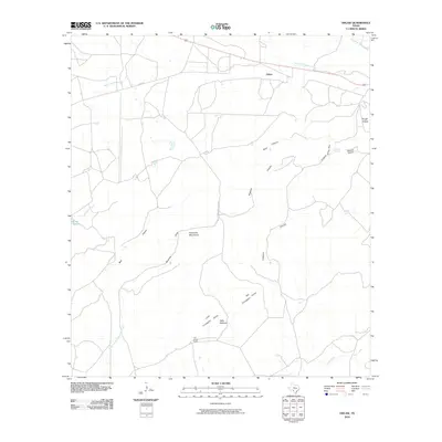 2010 Odlaw2010 Print · USGSKinney County ranching lands and the slopes of the Anacacho Mountains are documented here during the early twenty-first century. Researchers can locate remote landmarks such as the Old Altizer Ranch, Hells Halfacre, and the settlement of Odlaw.
 - 2010 Map of Anacacho, 2010 Print
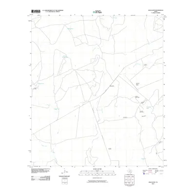 2010 Anacacho2010 Print · USGSKinney County ranching country is centered here during the early twenty-first century, showing a landscape shaped by water scarcity and aviation. Genealogists and researchers can trace local family footprints at the Anacacho Ranch, Medina Tank, and the Chacon Windmill.
 - 2010 Map of Mud Springs, 2010 Print
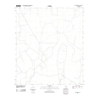 2010 Mud Springs2010 Print · USGSKinney County ranch land is captured in this survey from the early 2000s, showing a landscape defined by seasonal water. Local researchers can trace the drainage of Perdido Creek and locate the namesake Mud Springs along the route of F M 3008.
 - 2010 Map of Olmos Creek, 2010 Print
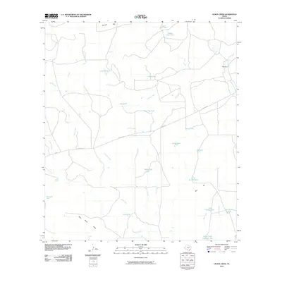 2010 Olmos Creek2010 Print · USGSMaverick County rangeland is shown at the start of the decade, revealing a landscape defined by ranching and vital water infrastructure. Researchers can trace land management through features like Griffin Cattle Company Lake, Kennedy Flats, and Black Brush Ridge.
 - 2010 Map of Del Rio SE, 2010 Print
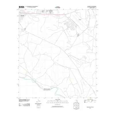 2010 Del Rio SE2010 Print · USGSThe Texas-Mexico border comes into focus at the turn of the decade, showing the international line along the Rio Grande. Local historians can trace the growth of Val Verde Park Colonia and the sprawling grounds of Laughlin Air Force Base near Eagle Pass Hill.
 - 2010 Map of Tequesquite Creek NE, 2010 Print
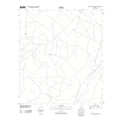 2010 Tequesquite Creek NE2010 Print · USGSKinney County ranchlands are documented here in the early twenty-first century, showing a landscape defined by creeks and private airfields. Researchers can locate specific water features like Emil Bayer Lake and ranch infrastructure such as the Macie Windmill and La Fonda Ranch Airport.
 - 2010 Map of Imperialist Tank, 2010 Print
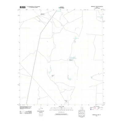 2010 Imperialist Tank2010 Print · USGSMaverick County ranching and military aviation are captured here during the first decade of the millennium. Researchers can trace the sophisticated water management systems of the era through sites like Burr Estate Lake Number 1 and the Laughlin Air Force Base Auxiliary Number 1 Airport.
 - 2010 Map of Cow Creek Tank, 2010 Print
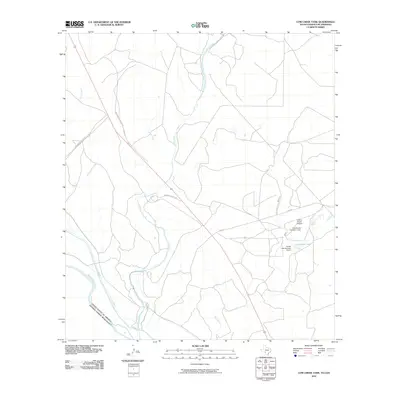 2010 Cow Creek Tank2010 Print · USGSThe Texas-Mexico borderlands come into focus during the early twenty-first century as ranching and hydrology define the Maverick County landscape. Trace family-named landmarks and infrastructure such as Frerich Ranch Airport, Cow Creek Tank, and the winding Rio Grande.
 - 2010 Map of Spofford, 2010 Print
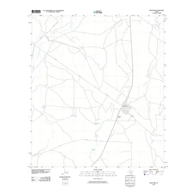 2010 Spofford2010 Print · USGSSpofford and the surrounding Kinney County rangeland are captured here in the early twenty-first century. Genealogists and local historians can trace family land and rural infrastructure through landmarks like Vincent Cemetery, Spofford Airport, and Red Barn Tank.
 - 2010 Map of Pinto Mountain, 2010 Print
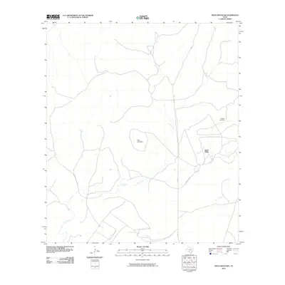 2010 Pinto Mountain2010 Print · USGSKinney County ranchlands are captured here in the early twenty-first century, centered on the unique landmark of Alamo Village. Researchers can trace the drainage of Pinto Creek and locate sites like Pinto Mountain, Pinto Springs, and the Shahan Lake Dam.
 - 2010 Map of Maverick Dam, 2010 Print
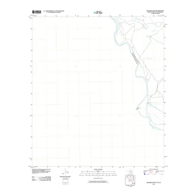 2010 Maverick Dam2010 Print · USGSThe international borderlands along the Rio Grande are documented here just after the turn of the millennium. Local researchers can trace the vital irrigation network through the Maverick Dam, the Headgates, and the Maverick County Canal.
 - 2010 Map of Tequesquite Spring, 2010 Print
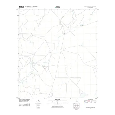 2010 Tequesquite Spring2010 Print · USGSMaverick County ranch lands are documented here in the early twenty-first century, showing a landscape shaped by large holdings and water engineering. Researchers can locate private infrastructure like Hughes Ranch Airport and trace the paths of Las Moras Creek and Salado Creek.
Showing maps 1-25 of 160
Top cities of Kinney County
Frequently asked questions
- What are the different types of historical maps available for Kinney County?
- What is the oldest map of Kinney County?
- Where can I purchase historical maps of Kinney County for my home or office?
- Where can I download high-res historical maps of Kinney County?
- Are there historical topographic maps available for Kinney County?
- Is there historical aerial imagery available for Kinney County?
- Where are historical maps of Kinney County sourced from?