Old Maps of Brackettville, Texas for Genealogy
Trace your family roots with 12 historic maps of Brackettville. These high-res maps reveal old neighborhoods, homesites, landmarks, and streets — helping you uncover where your ancestors lived and how the area evolved over time.
- Explore historic neighborhoods: Identify where your relatives may have lived in the 1800s or 1900s.
- Compare maps over time: Trace the changes in streets, buildings, and landmarks for multi-generational research.
- Perfect for genealogy & ancestry research: Used by family historians and researchers to map out lineage and migration.
These maps are an incredible resource for exploring your personal connection to Brackettville's past.
Brackettville, TX maps
(12)- 1896 Map of Brackett
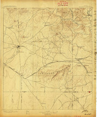
 1896 Brackett1896 Print · USGSSouthwest Texas ranching and military life come into focus in the 1890s, centered on the strategic presence of the frontier army. Genealogists can trace family holdings like Weymiller Ranch or find early communities such as the Seminole Settlement and Spofford.
 - 1897 Map of Brackett
 1897 Brackett1897 Print · USGSThe frontier of Kinney and Uvalde counties is captured here in the late nineteenth century, centered on the military and ranching hub of Brackett. Researchers can trace the Southern Pacific R. R. through Cline or locate the historic Seminole Settlement and Fort Clark.3 unique versions available
 - 1944 Map of Brackettville
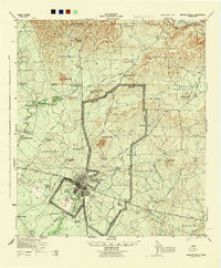 1944 Brackettville1944 Print · USGSBrackettville and the surrounding Kinney County precincts are documented here in the 1940s, during a peak era of military activity at Fort Clark. Genealogists and local historians can trace family landholdings such as W G Lackey Ranch and Henderson Ranch alongside landmarks like Las Moras Spring.
 - 1958 Map of Del Rio, 1970 Print
 1958 Del Rio1970 Print · USGSThe Texas-Mexico borderlands come alive in the late fifties, showing the confluence of the Rio Grande and the emerging Amistad Reservoir. Trace the lineage of the Southern Pacific rail line through stops at Pumpville, Shumla, and the mining vicinity of Blewett.2 unique versions available
 - 1964 Map of Del Rio
 1964 Del Rio1964 Print · USGSAlong the Mexican border during the mid-sixties, this area centered on the confluence of the Rio Grande and Devils River. Researchers can trace the Southern Pacific line through isolated stops like Pumpville or locate military and industrial sites such as Laughlin Air Force Base and the mines at Blewett.
 - 1974 Map of Brackettville, 1977 Print
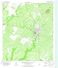 1974 Brackettville1977 Print · USGSBrackettville and its frontier heritage are captured here in the mid-1970s, as the area transitioned from a historic military post to a residential community. Researchers can trace local lineage at the Seminole Indian Scout Cem or locate the famed Las Moras Springs.
 - 1986 Map of Del Rio
 1986 Del Rio1986 Print · USGSThe West Texas borderlands come alive in the mid-eighties as Del Rio expands and Laughlin AFB anchors the local economy. Researchers can trace the rail corridors through Spofford and Cline or locate family sites near Alamo Village.2 unique versions available
 - 2010 Map of Brackettville, 2010 Print
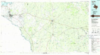
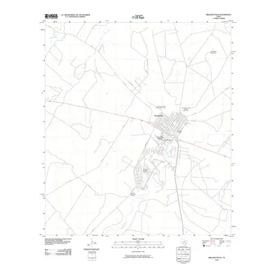 2010 Brackettville2010 Print · USGSCovers Brackettville, including Fort Clark Springs, Kinney County, and other nearby areas
 - 2013 Map of Brackettville, 2013 Print
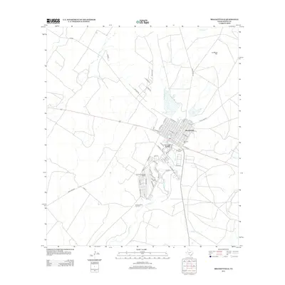 2013 Brackettville2013 Print · USGSCovers Brackettville, including Fort Clark Springs, Kinney County, and other nearby areas
 - 2016 Map of Brackettville, 2016 Print
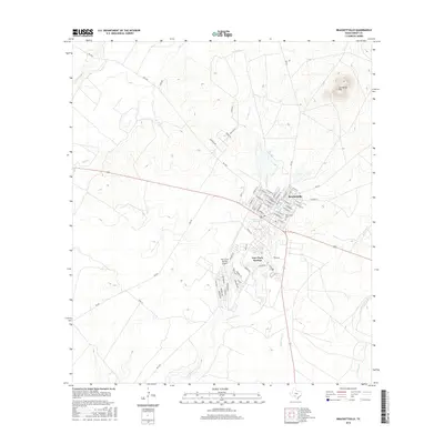 2016 Brackettville2016 Print · USGSCovers Brackettville, including Fort Clark Springs, Kinney County, and other nearby areas
 - 2019 Map of Brackettville, 2019 Print
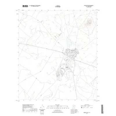 2019 Brackettville2019 Print · USGSCovers Brackettville, including Fort Clark Springs, Kinney County, and other nearby areas
 - 2022 Map of Brackettville, 2022 Print
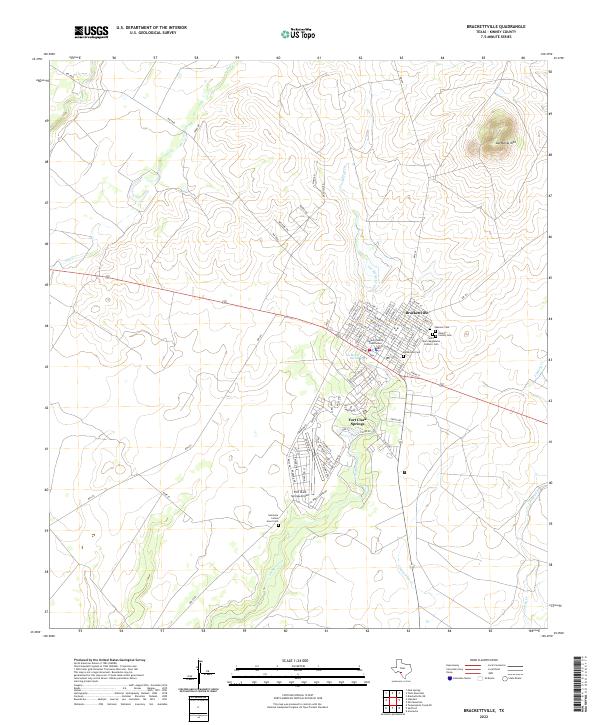 2022 Brackettville2022 Print · USGSBrackettville and the grounds of Fort Clark Springs are captured in the early twenty-first century, highlighting a unique blend of military and civic history. Researchers can locate the Kinney County Courthouse and several historic burial sites, including the Seminole Indian Scout Cem.
End of results
Showing maps 1-12 of 12
Top cities near Brackettville
Frequently asked questions
- What are the different types of historical maps available for Brackettville?
- What is the oldest map of Brackettville?
- Where can I purchase historical maps of Brackettville for my home or office?
- Where can I download high-res historical maps of Brackettville?
- Are there historical topographic maps available for Brackettville?
- Is there historical aerial imagery available for Brackettville?
- Where are historical maps of Brackettville sourced from?