
1897 Map of Brackett
USGS Topo · Published 1897About this map
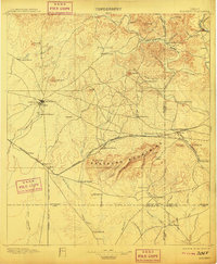
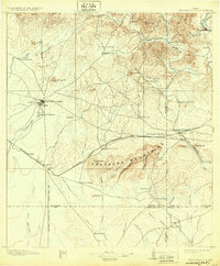
Fort Clark stands as the primary anchor in this 1890s West Texas frontier landscape, situated just above the Brackett townsite. The map reveals a transition from the established military presence to an emerging ranching and transport economy. To the south, the Seminole Settlement highlights the unique cultural history of the area near Las Moras Spring. The terrain is dominated by the Anacacho Mountains and the winding course of the West Nueces River in the north. The arrival of the Southern Pacific R. R. and the Galveston Harrisburg and San Antonio R. R. brought industrial activity to places like Cline and Carbonville, while numerous family holdings such as Weymiller Ranch and Woodhull Ranch indicate early settlement patterns along the intermittent creeks.
Find a feature on this map
77 named features on this map. Tap any name to fly to it.
Don’t see what you’re looking for? This feature index may not catch every label — zoom into the map to look around manually.
Map Details
Editions of this 1897 Brackett Map
3 editions found
Other maps of this area

1893 · Nueces
USGS Topo · 1:125,000

1896 · Nueces
USGS Topo · 1:125,000

1896 · Brackett
USGS Topo · 1:125,000

1898 · Uvalde
USGS Topo · 1:125,000

1899 · Uvalde
USGS Topo · 1:125,000

1938 · Turkey Mountain
USGS Topo · 1:48,000

1939 · La Pryor
USGS Topo · 1:62,500

1940 · Paloma
USGS Topo · 1:62,500

1940 · Quemado
USGS Topo · 1:62,500

1940 · Chacon Creek
USGS Topo · 1:62,500