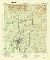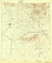
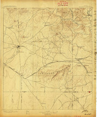
1897 Map of Brackettville
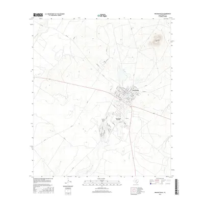
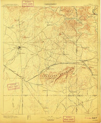
USGS Topo · Published 1932About this map
Fort Clark and the adjacent town of Brackettville anchor this frontier landscape, serving as a critical military and social hub in the late nineteenth century. The map reveals a fascinating cultural geography, notably including the Seminole Settlement south of the fort, a location of immense value for genealogists and historians of the Black Seminole Scouts. This 1890s survey preserves a network of family-held properties such as Hitchcock Ranch, Weymiller Ranch, and Woodhull Ranch, illustrating the transition from open range to established ranching operations.
Find a feature on this map
69 named features on this map. Tap any name to fly to it.
Don’t see what you’re looking for? This feature index may not catch every label — zoom into the map to look around manually.
Map Details
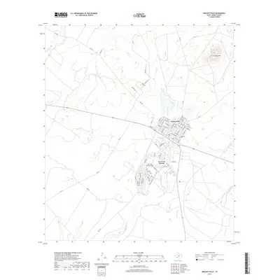
Editions of this 1897 Brackettville Map
3 editions found
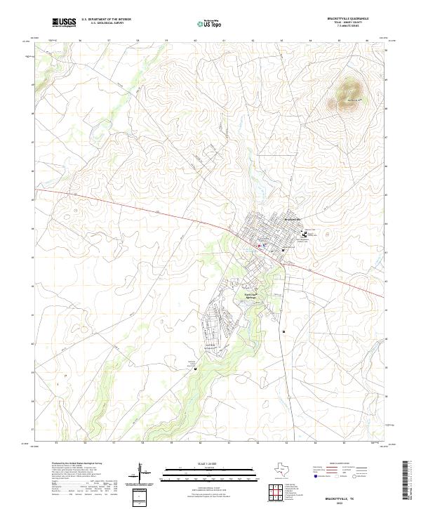
Historical Maps of Brackettville Through Time
8 maps found