1980s Maps of Lamb County, Texas
Explore 6 historic maps of Lamb County from the 1980s. These maps offer a rare glimpse into what life looked like during the 1980s — showing old roads, neighborhoods, homes, and landmarks that have changed or disappeared over time.
Whether you're researching your family's past, planning a metal detecting trip, or studying how Lamb County's landscape evolved across the 1980s, these high-resolution maps are a powerful tool for exploring the history of this region.
- Focus on a specific era: All maps on this page are from the 1980s, giving you a focused view of this time period.
- See what’s changed: Compare century-old streets, trails, and buildings to today's modern landscape using overlays and satellite layers.
- Research with precision: Use these maps for genealogy, historical research, land use analysis, or educational projects.
- View, download, or print: Maps are fully viewable online in high resolution, and can be downloaded or printed for your own records.
Start exploring Lamb County's history through authentic maps from the 1980s. This is your window into the past.
Lamb County, TX maps
(6)- 1985 Map of Anton
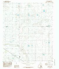
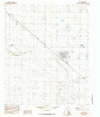 1985 Anton1985 Print · USGSThe West Texas plains at the edge of the Panhandle show a landscape of deep-well irrigation and rail-side commerce during the mid-eighties. Genealogists and researchers can trace the footprint of Anton and the outlying stop at Bainer along the drainage of Yellow House Draw.
 - 1985 Map of Spade
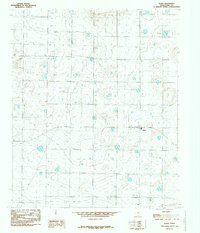 1985 Spade1985 Print · USGSThe High Plains of West Texas are captured here in the mid-eighties, centered on the community of Spade. Local history researchers can trace the extensive irrigation network through numerous Well locations and a major Pipeline crossing the landscape.
 - 1985 Map of Muleshoe
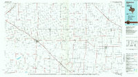 1985 Muleshoe1985 Print · USGSThe High Plains of the Texas Panhandle in the mid-eighties show a landscape defined by industrial agriculture and rail. Genealogists and local historians can trace family roots through rural communities like Lazbuddie, Sudan, and the uniquely named town of Earth.2 unique versions available
 - 1985 Map of Anton NE
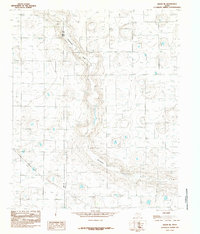 1985 Anton NE1985 Print · USGSTexas Panhandle agriculture and infrastructure are on full display in the mid-1980s. Trace the path of Blackwater Draw across the Lamb Co and Hale Co line, alongside utility features like the Trans-line Wooden H-frame.
 - 1985 Map of Roundup
 1985 Roundup1985 Print · USGSThe Texas High Plains at the junction of four counties are captured here in the mid-1980s. Genealogists and land researchers can trace property boundaries near Roundup and follow the natural drainage of Yellow House Draw across the Llano Estacado.
 - 1985 Map of Levelland, 1986 Print
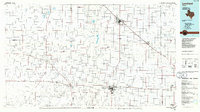 1985 Levelland1986 Print · USGSThe West Texas High Plains are captured here in the mid-eighties as oil production and agriculture defined the region's economy. Researchers can trace the sprawling Levelland and Slaughter Oil and Gas Field or locate rural landmarks like Lums Chapel and South Plains College.2 unique versions available
End of results
Showing maps 1-6 of 6
Top cities of Lamb County
- Littlefield historical maps
- Olton historical maps
- Earth historical maps
- Sudan historical maps
- Amherst historical maps
- Springlake historical maps
Frequently asked questions
- What are the different types of historical maps available for Lamb County?
- What is the oldest map of Lamb County?
- Where can I purchase historical maps of Lamb County for my home or office?
- Where can I download high-res historical maps of Lamb County?
- Are there historical topographic maps available for Lamb County?
- Is there historical aerial imagery available for Lamb County?
- Where are historical maps of Lamb County sourced from?