Old Maps of Sweet Home, Texas for Genealogy
Trace your family roots with 9 historic maps of Sweet Home. These high-res maps reveal old neighborhoods, homesites, landmarks, and streets — helping you uncover where your ancestors lived and how the area evolved over time.
- Explore historic neighborhoods: Identify where your relatives may have lived in the 1800s or 1900s.
- Compare maps over time: Trace the changes in streets, buildings, and landmarks for multi-generational research.
- Perfect for genealogy & ancestry research: Used by family historians and researchers to map out lineage and migration.
These maps are an incredible resource for exploring your personal connection to Sweet Home's past.
Sweet Home, TX maps
(9)- 1919 Map of Dime Box, 1956 Print
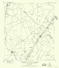 1919 Dime Box1956 Print · USGSLee County and the surrounding Texas Brazos Valley are shown here just after the Great War, during a period of shifting settlements. Genealogists can trace early homesteads and community hubs near Old Dime Box, Loebau, and Shady Grove School.
 - 1954 Map of Austin, 1964 Print
 1954 Austin1964 Print · USGSCentral Texas is captured during a period of steady growth as the capital city and its neighboring farm towns began to modernize. Researchers can trace historic rail corridors like the Southern Pacific RR or locate landmarks such as Bergstrom Air Force Base and Pilot Knob.4 unique versions available
 - 1959 Map of Dime Box, 1960 Print
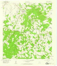 1959 Dime Box1960 Print · USGSTexas ranching and rail history intersect in Lee County during the late fifties, where the original town sites are clearly delineated. Researchers can trace the path of El Camino Real and locate family landmarks like Sweet Home High Sch and Sandy Point Cem.4 unique versions available
 - 1993 Map of Brenham
 1993 Brenham1993 Print · USGSTexas river country and the birthplace of the republic are showcased in the early nineties, centered on the confluence of the Brazos and Navasota. Researchers can trace the rail sidings of the Southern Pacific RR and locate historic community landmarks like St Paul Ch and Washington-on-the-Brazos State Park.
 - 2010 Map of Dime Box, 2010 Print
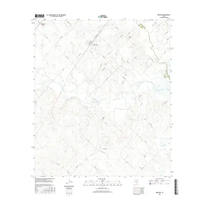
 2010 Dime Box2010 Print · USGSCovers Sweet Home, including Antioch, Dime Box, and other nearby areas
 - 2013 Map of Dime Box, 2013 Print
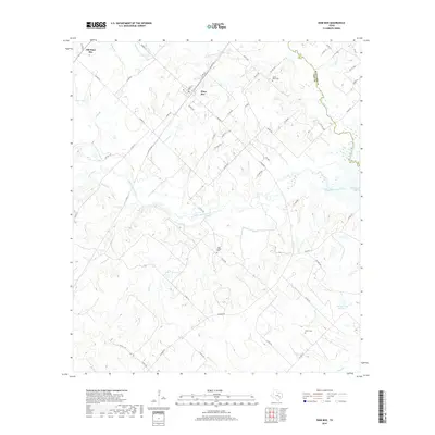
 2013 Dime Box2013 Print · USGSCovers Sweet Home, including Antioch, Dime Box, and other nearby areas
 - 2016 Map of Dime Box, 2016 Print
 2016 Dime Box2016 Print · USGSCovers Sweet Home, including Antioch, Dime Box, and other nearby areas
 - 2019 Map of Dime Box, 2019 Print
 2019 Dime Box2019 Print · USGSCovers Sweet Home, including Antioch, Dime Box, and other nearby areas
 - 2022 Map of Dime Box, 2022 Print
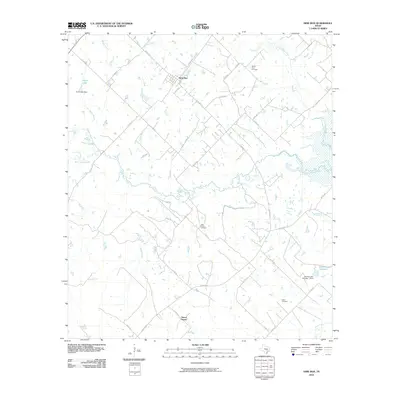
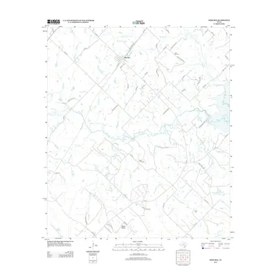
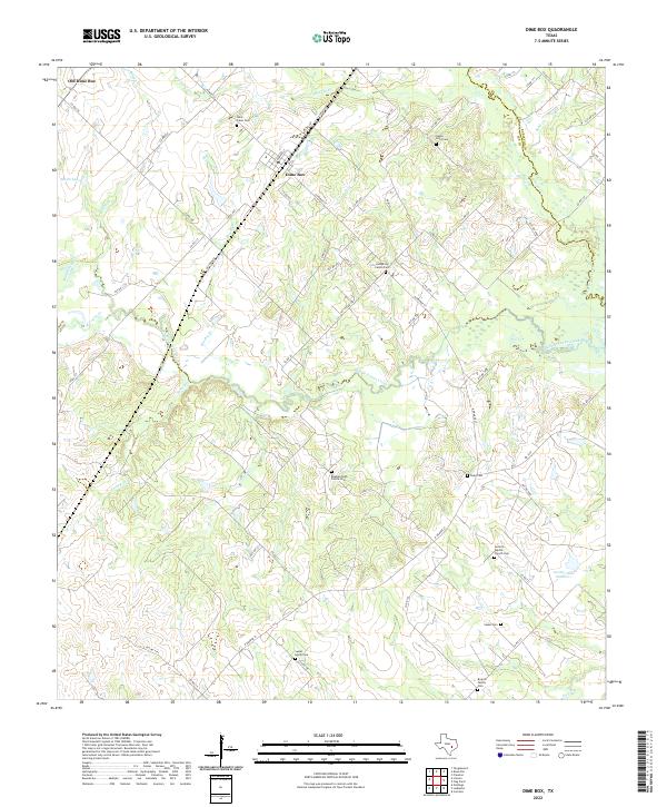 2022 Dime Box2022 Print · USGSThis rural Lee County landscape shows the Texas interior as it appeared in the early 2020s, centered on the twin settlements of Dime Box and Old Dime Box. Researchers can trace dozens of family and community sites, including the Beaman High Prairie Cem and Antioch Baptist Church Cem.
End of results
Showing maps 1-9 of 9
Top cities near Sweet Home
- Giddings historical maps
- Lexington historical maps
- Burton historical maps
- Carmine historical maps
- Round Top historical maps
Frequently asked questions
- What are the different types of historical maps available for Sweet Home?
- What is the oldest map of Sweet Home?
- Where can I purchase historical maps of Sweet Home for my home or office?
- Where can I download high-res historical maps of Sweet Home?
- Are there historical topographic maps available for Sweet Home?
- Is there historical aerial imagery available for Sweet Home?
- Where are historical maps of Sweet Home sourced from?