Old Maps of Hightower, Texas for Hiking & Exploration
Hike through history with 13 historic maps of Hightower. Explore old trails, ghost towns, and forgotten backroads — perfect for outdoor adventurers and local explorers.
- Rediscover forgotten places: Map out old mining camps, roads, and footpaths that no longer exist on modern maps.
- Layer with modern tools: Combine with LiDAR or satellite views to plan hikes through historical terrain.
- Made for exploration: Popular among hikers, overlanders, and local history lovers.
Use these maps to find adventure and explore the hidden past of Hightower.
Hightower, TX maps
(13)- 1943 Map of Liberty
 1943 Liberty1943 Print · USGSLiberty and the surrounding Big Thicket are documented here during the early twentieth-century boom in timber and oil. Researchers can locate vanished landmarks such as the Yellow School House, trace family lands like Mears Ranch, and follow the path of the Old Tram through the river bottomlands.
 - 1954 Map of Beaumont, 1964 Print
 1954 Beaumont1964 Print · USGSSoutheast Texas in the mid-fifties reveals a landscape of massive national forests, emerging reservoirs, and a booming oil economy. Genealogists and researchers can trace rural settlements like Dallardsville and Village Mills or locate early drilling sites at Sour Lake Oil Field.3 unique versions available
 - 1955 Map of Rayburn, 1957 Print
 1955 Rayburn1957 Print · USGSDeep in East Texas during the mid-fifties, this survey reveals the intricate oxbows of the Trinity River and the rural communities of Tarkington Prairie. Genealogists can locate family landmarks like Concord Cem and the Tarkington Prairie Sch.2 unique versions available
 - 1957 Map of Beaumont
 1957 Beaumont1957 Print · USGSSoutheast Texas in the mid-fifties is defined by the timber-rich lands between the Trinity River and Beaumont. Trace the history of the Alabama and Coushatti Indian Reservation or locate early campus sites like Prairie View College.
 - 1984 Map of Beaumont
 1984 Beaumont1984 Print · USGSSoutheast Texas in the late seventies and early eighties shows a landscape of expanding reservoirs and deep timber industry. Researchers can trace the development of the Sam Houston National Forest or locate regional landmarks like Grabbs Prairie and the Wynne State Prison Farm.3 unique versions available
 - 1984 Map of Rayburn, 1985 Print
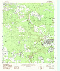 1984 Rayburn1985 Print · USGSLiberty and San Jacinto Counties in the mid-1980s show a landscape of rural settlements and winding bayous along the Trinity River. Researchers can trace family sites near Shepherd, locate the Lookout Tower, and find old Cemeteries near Hightower and Dolen.
 - 1986 Map of Beaumont
 1986 Beaumont1986 Print · USGSThe East Texas piney woods and coastal prairies are captured here in the mid-eighties, a period of established energy production and conservation. Researchers can trace the industrial footprint of the Oil and Gas Field near Daisetta and Batson, or locate family sites at Graveyard Hill Cem.
 - 1997 Map of Rayburn, 2000 Print
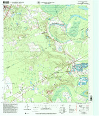 1997 Rayburn2000 Print · USGSSettlement and industry meet the river bottoms of Liberty and San Jacinto counties in the late nineties. Genealogists and historians can locate Stringtown Cemetery, trace the drainage of Coley Creek, and explore old community sites like Dolen and Hightower.
 - 2010 Map of Rayburn, 2010 Print
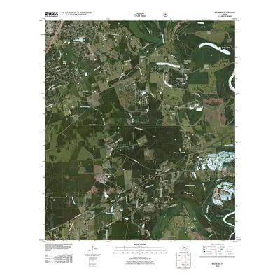 2010 Rayburn2010 Print · USGSThe Shepherd area of East Texas comes into focus in the early 2010s, showing a network of timberland communities and rural ferry roads. Researchers can trace family sites like Coley Creek Cemetery or follow the waters of Lake Tejas and the Trinity River.
 - 2013 Map of Rayburn, 2013 Print
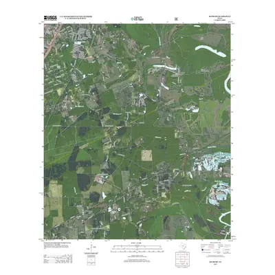 2013 Rayburn2013 Print · USGSThe rural landscapes and creek-fed bottomlands of San Jacinto County come into focus in this early twenty-first-century survey. Trace local history through family-named roads and established settlements like Shepherd, Rayburn, and the Coley Creek Cem.
 - 2016 Map of Rayburn, 2016 Print
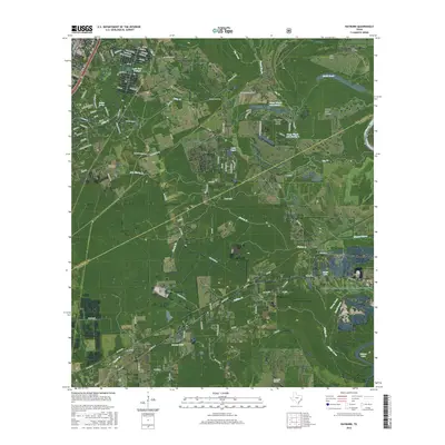 2016 Rayburn2016 Print · USGSThe San Jacinto and Liberty County border comes alive in this mid-2010s survey of the East Texas bottomlands. Genealogists and local historians can trace the vicinity of Rayburn, Dolen, and Hightower alongside landmarks like Coley Creek Cem and Winters Bayou.
 - 2019 Map of Rayburn, 2019 Print
 2019 Rayburn2019 Print · USGSShepherd and the surrounding East Texas timberlands are captured here in the late twenty-teens as they straddle the San Jacinto and Liberty County line. Genealogists and historians can trace local family landmarks like Coley Creek Cem and the rural settlements of Dolen and Hightower.
 - 2022 Map of Rayburn, 2022 Print
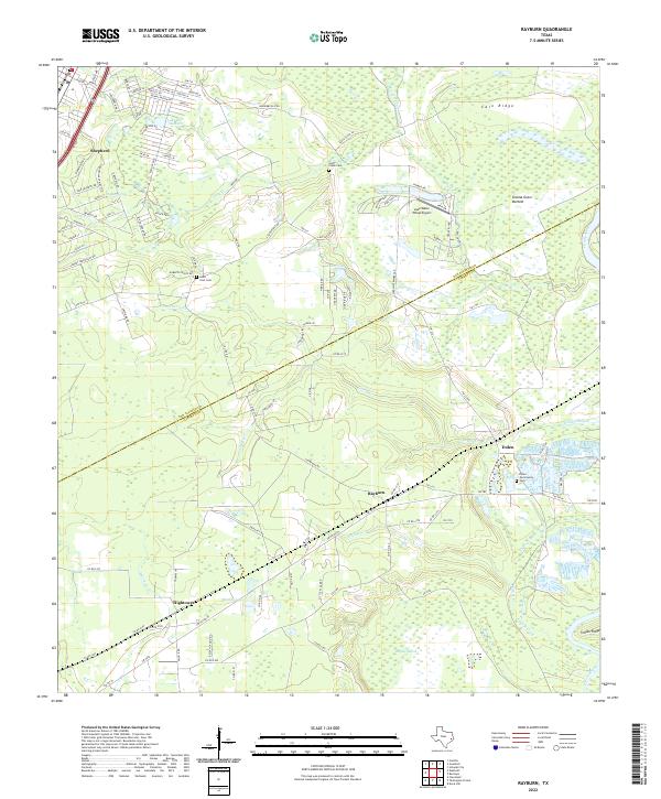 2022 Rayburn2022 Print · USGSThe East Texas borderlands of San Jacinto and Liberty counties come to life in this survey of the river bottomlands. Researchers can trace rural lineages through the Coley Creek Cem and old settlements like Rayburn, Dolen, and Hightower.
End of results
Showing maps 1-13 of 13
Top cities near Hightower
- Cleveland historical maps
- Roman Forest historical maps
- Shepherd historical maps
- Splendora historical maps
- Patton Village historical maps
- Woodbranch historical maps
See more
Frequently asked questions
- What are the different types of historical maps available for Hightower?
- What is the oldest map of Hightower?
- Where can I purchase historical maps of Hightower for my home or office?
- Where can I download high-res historical maps of Hightower?
- Are there historical topographic maps available for Hightower?
- Is there historical aerial imagery available for Hightower?
- Where are historical maps of Hightower sourced from?