Old Maps of Box Church, Texas for Hiking & Exploration
Hike through history with 9 historic maps of Box Church. Explore old trails, ghost towns, and forgotten backroads — perfect for outdoor adventurers and local explorers.
- Rediscover forgotten places: Map out old mining camps, roads, and footpaths that no longer exist on modern maps.
- Layer with modern tools: Combine with LiDAR or satellite views to plan hikes through historical terrain.
- Made for exploration: Popular among hikers, overlanders, and local history lovers.
Use these maps to find adventure and explore the hidden past of Box Church.
Box Church, TX maps
(9)- 1954 Map of Waco, 1964 Print
 1954 Waco1964 Print · USGSCentral Texas during the mid-fifties shows a landscape defined by the expansion of Fort Hood Military Reservation and the Brazos river system. Trace the rail lines and early airfields like James Connally Air Force Base and settlements like Temple or McGregor.2 unique versions available
 - 1955 Map of Waco
 1955 Waco1955 Print · USGSCentral Texas at the peak of the Cold War reveals a landscape defined by military expansion and major water projects. Researchers can trace the footprints of Fort Hood, the waters of Lake Waco, and regional hubs like Temple or Mexia.
 - 1966 Map of Box Church, 1969 Print
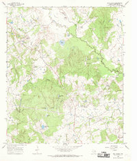 1966 Box Church1969 Print · USGSLimestone County life in the mid-1960s centered on small creek-side settlements and a network of family burial grounds. Genealogists can trace local roots at Box Church or search for remote sites like Hughes and Hyden Cem and Masters Cem near the Navasota River.2 unique versions available
 - 1985 Map of Marlin
 1985 Marlin1985 Print · USGSMid-century Texas agriculture and transit converge here during the mid-1980s, centered on the Brazos River corridor. Genealogists can locate family sites near Tidwell Prairie or trace the Missouri Pacific RR through Bremond and Kosse.2 unique versions available
 - 2011 Map of Box Church, 2011 Print
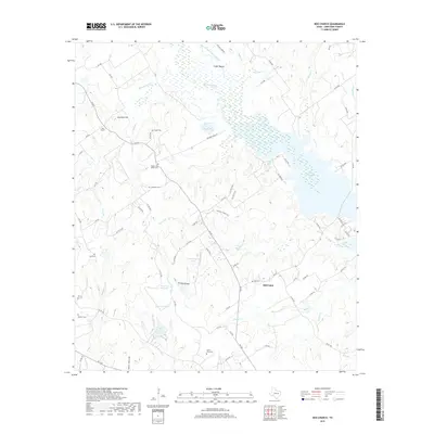
 2011 Box Church2011 Print · USGSCovers Box Church, including Old Union, Limestone County, and other nearby areas
 - 2013 Map of Box Church, 2013 Print
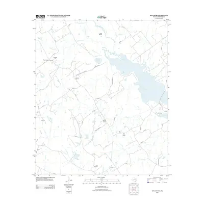 2013 Box Church2013 Print · USGSCovers Box Church, including Old Union, Limestone County, and other nearby areas
 - 2016 Map of Box Church, 2016 Print
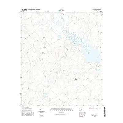 2016 Box Church2016 Print · USGSCovers Box Church, including Old Union, Limestone County, and other nearby areas
 - 2019 Map of Box Church, 2019 Print
 2019 Box Church2019 Print · USGSCovers Box Church, including Old Union, Limestone County, and other nearby areas
 - 2022 Map of Box Church, 2022 Print
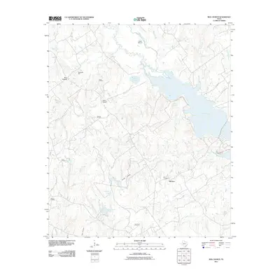
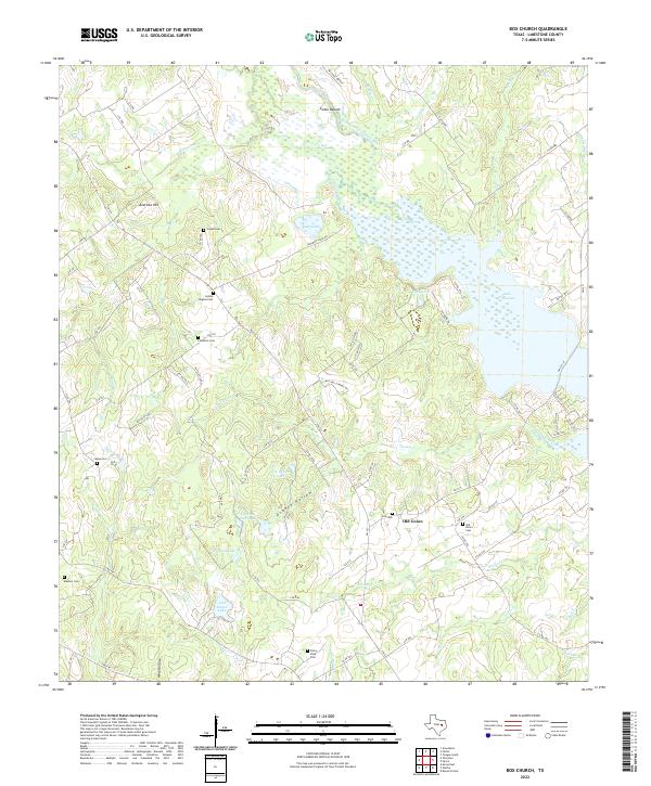 2022 Box Church2022 Print · USGSLimestone County in the early twenty-first century remains a landscape of quiet rural communities and river bottomlands. Researchers can find numerous family burial sites like Potter Shop Cem and Hyden Hughes Cem near the banks of Lake Limestone.
End of results
Showing maps 1-9 of 9
Top cities near Box Church
- Mexia historical maps
- Teague historical maps
- Groesbeck historical maps
- Thornton historical maps
- Kosse historical maps
- Marquez historical maps
Frequently asked questions
- What are the different types of historical maps available for Box Church?
- What is the oldest map of Box Church?
- Where can I purchase historical maps of Box Church for my home or office?
- Where can I download high-res historical maps of Box Church?
- Are there historical topographic maps available for Box Church?
- Is there historical aerial imagery available for Box Church?
- Where are historical maps of Box Church sourced from?