Old Maps of Coit, Texas for Academic Research
Study the evolution of Coit with 9 high-resolution historic maps. Whether you're teaching, researching, or modeling changes in land use, these maps provide essential visual documentation of urban, environmental, and geographic change.
- Analyze long-term change: Track patterns in development, transportation, and natural features.
- Ideal for environmental or urban studies: Support academic projects with primary historical map data.
- Use in the classroom or lab: Educators and researchers rely on these maps to bring historical context to life.
These maps are a powerful tool for teaching, research, and visualizing how Coit has changed over the decades.
Coit, TX maps
(9)- 1954 Map of Waco, 1964 Print
 1954 Waco1964 Print · USGSCentral Texas during the mid-fifties shows a landscape defined by the expansion of Fort Hood Military Reservation and the Brazos river system. Trace the rail lines and early airfields like James Connally Air Force Base and settlements like Temple or McGregor.2 unique versions available
 - 1955 Map of Waco
 1955 Waco1955 Print · USGSCentral Texas at the peak of the Cold War reveals a landscape defined by military expansion and major water projects. Researchers can trace the footprints of Fort Hood, the waters of Lake Waco, and regional hubs like Temple or Mexia.
 - 1966 Map of Odds, 1969 Print
 1966 Odds1969 Print · USGSThe Limestone and Falls county line in the late sixties reveals a network of winding creeks and small cattle-ranching outposts. Researchers can trace rural cemeteries like Clifton Cem, local landmarks such as Buffalo Mop, and the path of the Little Brazos River.
 - 1985 Map of Marlin
 1985 Marlin1985 Print · USGSMid-century Texas agriculture and transit converge here during the mid-1980s, centered on the Brazos River corridor. Genealogists can locate family sites near Tidwell Prairie or trace the Missouri Pacific RR through Bremond and Kosse.2 unique versions available
 - 2010 Map of Odds, 2010 Print
 2010 Odds2010 Print · USGSCovers Coit, including Pleasant Grove, Little Elm, and other nearby areas
 - 2013 Map of Odds, 2013 Print
 2013 Odds2013 Print · USGSCovers Coit, including Pleasant Grove, Little Elm, and other nearby areas
 - 2016 Map of Odds, 2016 Print
 2016 Odds2016 Print · USGSCovers Coit, including Pleasant Grove, Little Elm, and other nearby areas
 - 2019 Map of Odds, 2019 Print
 2019 Odds2019 Print · USGSCovers Coit, including Pleasant Grove, Little Elm, and other nearby areas
 - 2022 Map of Odds, 2022 Print
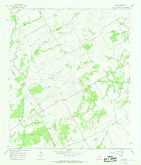
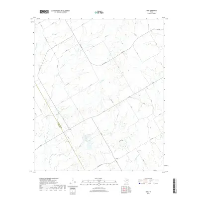
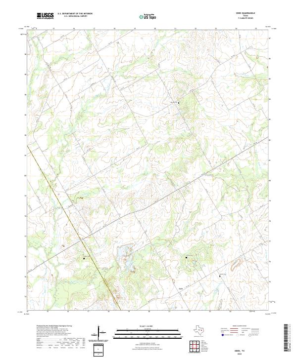 2022 Odds2022 Print · USGSThe central Texas prairie near the border of Limestone and Falls Counties remains a landscape of quiet rural roads and winding creek beds. Researchers can locate family landmarks like Big Hill Cemetery, the community of Coit, and the upper reaches of the Little Brazos River.
End of results
Showing maps 1-9 of 9
Top cities near Coit
- Marlin historical maps
- Groesbeck historical maps
- Mart historical maps
- Bremond historical maps
- Thornton historical maps
- Kosse historical maps
Frequently asked questions
- What are the different types of historical maps available for Coit?
- What is the oldest map of Coit?
- Where can I purchase historical maps of Coit for my home or office?
- Where can I download high-res historical maps of Coit?
- Are there historical topographic maps available for Coit?
- Is there historical aerial imagery available for Coit?
- Where are historical maps of Coit sourced from?