Old Maps of Prairie Grove, Texas for Academic Research
Study the evolution of Prairie Grove with 10 high-resolution historic maps. Whether you're teaching, researching, or modeling changes in land use, these maps provide essential visual documentation of urban, environmental, and geographic change.
- Analyze long-term change: Track patterns in development, transportation, and natural features.
- Ideal for environmental or urban studies: Support academic projects with primary historical map data.
- Use in the classroom or lab: Educators and researchers rely on these maps to bring historical context to life.
These maps are a powerful tool for teaching, research, and visualizing how Prairie Grove has changed over the decades.
Prairie Grove, TX maps
(10)- 1920 Map of Mexia
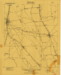 1920 Mexia1920 Print · USGSLimestone and Freestone counties are shown here just after the Great War, during a period of significant railway expansion and rural settlement. Researchers can trace the routes of the Houston and Texas Central and locate sites like Cotton Gin, Pt. Enterprise, and Duck Lake.
 - 1954 Map of Waco, 1964 Print
 1954 Waco1964 Print · USGSCentral Texas during the mid-fifties shows a landscape defined by the expansion of Fort Hood Military Reservation and the Brazos river system. Trace the rail lines and early airfields like James Connally Air Force Base and settlements like Temple or McGregor.2 unique versions available
 - 1955 Map of Waco
 1955 Waco1955 Print · USGSCentral Texas at the peak of the Cold War reveals a landscape defined by military expansion and major water projects. Researchers can trace the footprints of Fort Hood, the waters of Lake Waco, and regional hubs like Temple or Mexia.
 - 1966 Map of Fallon, 1969 Print
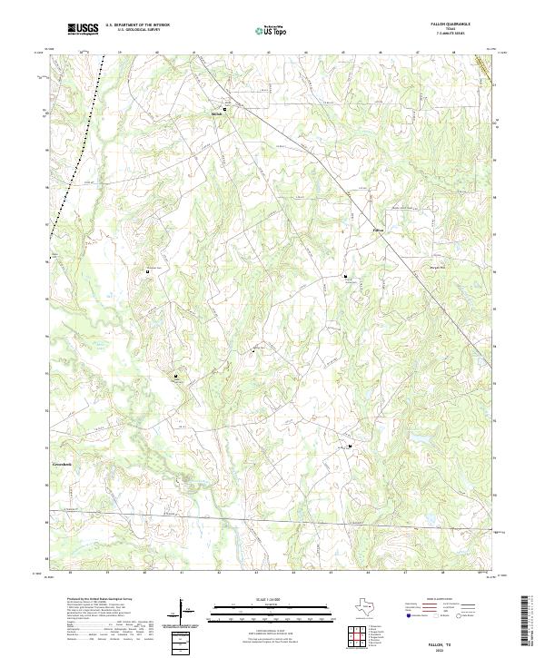
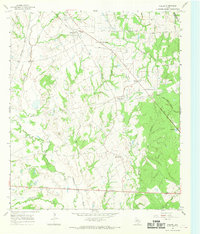 1966 Fallon1969 Print · USGSLimestone County in the mid-sixties remained a rural expanse of winding river bottoms and small community hubs. Local historians can trace the old rail networks and family burial sites like Doyle Cem, Box Car Center, and the crossing at Long Bridge.2 unique versions available
 - 1985 Map of Mexia
 1985 Mexia1985 Print · USGSLimestone and Freestone counties are shown in the mid-eighties as centers of rail-linked commerce and growing reservoir systems. Researchers can trace the grounds of Mexia State School, the campus of Westminster College, and historic Fort Parker.2 unique versions available
 - 2010 Map of Fallon, 2010 Print
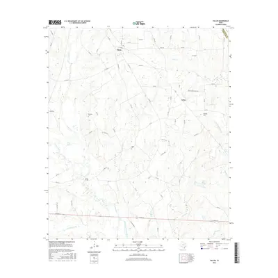
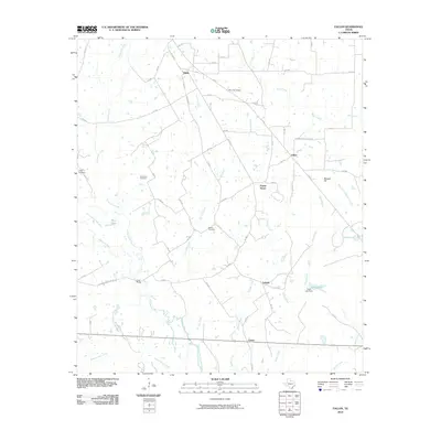 2010 Fallon2010 Print · USGSCovers Prairie Grove, including Groesbeck, LaSalle, and other nearby areas
 - 2013 Map of Fallon, 2013 Print
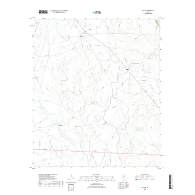
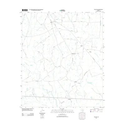 2013 Fallon2013 Print · USGSCovers Prairie Grove, including Groesbeck, LaSalle, and other nearby areas
 - 2016 Map of Fallon, 2016 Print
 2016 Fallon2016 Print · USGSCovers Prairie Grove, including Groesbeck, LaSalle, and other nearby areas
 - 2019 Map of Fallon, 2019 Print
 2019 Fallon2019 Print · USGSCovers Prairie Grove, including Groesbeck, LaSalle, and other nearby areas
 - 2022 Map of Fallon, 2022 Print
 2022 Fallon2022 Print · USGSLimestone County in the early 2020s remains a landscape of historic family burials and rural river bottoms. Trace ancestral connections at Webb Chapel Cem, find the settlement of Shiloh, or follow the winding course of the Navasota River.
End of results
Showing maps 1-10 of 10
Top cities near Prairie Grove
- Mexia historical maps
- Teague historical maps
- Groesbeck historical maps
- Fairfield historical maps
- Wortham historical maps
- Coolidge historical maps
See more
Frequently asked questions
- What are the different types of historical maps available for Prairie Grove?
- What is the oldest map of Prairie Grove?
- Where can I purchase historical maps of Prairie Grove for my home or office?
- Where can I download high-res historical maps of Prairie Grove?
- Are there historical topographic maps available for Prairie Grove?
- Is there historical aerial imagery available for Prairie Grove?
- Where are historical maps of Prairie Grove sourced from?