2000s (21st Century) Maps of Tehuacana, Texas
Explore 10 historic maps of Tehuacana from the 2000s (21st Century). These maps offer a rare glimpse into what life looked like during the 2000s — showing old roads, neighborhoods, homes, and landmarks that have changed or disappeared over time.
Whether you're researching your family's past, planning a metal detecting trip, or studying how Tehuacana's landscape evolved across the 2000s, these high-resolution maps are a powerful tool for exploring the history of this region.
- Focus on a specific era: All maps on this page are from the 2000s, giving you a focused view of this time period.
- See what’s changed: Compare century-old streets, trails, and buildings to today's modern landscape using overlays and satellite layers.
- Research with precision: Use these maps for genealogy, historical research, land use analysis, or educational projects.
- View, download, or print: Maps are fully viewable online in high resolution, and can be downloaded or printed for your own records.
Start exploring Tehuacana's history through authentic maps from the 2000s. This is your window into the past.
Tehuacana, TX maps
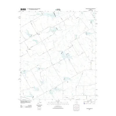
(10)- 2010 Map of Union High, 2010 Print
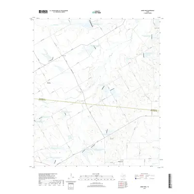
 2010 Union High2010 Print · USGSCovers Tehuacana, including Rodney, Union High, and other nearby areas
 - 2010 Map of Tehuacana, 2010 Print
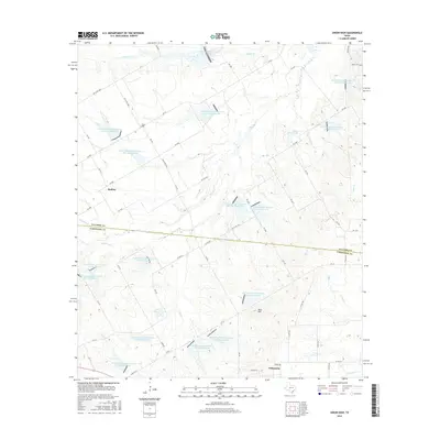
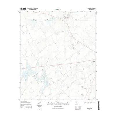
 2010 Tehuacana2010 Print · USGSCovers Tehuacana, including Mexia, Forest Glade, and other nearby areas
 - 2013 Map of Union High, 2013 Print
 2013 Union High2013 Print · USGSCovers Tehuacana, including Rodney, Union High, and other nearby areas
 - 2013 Map of Tehuacana, 2013 Print
 2013 Tehuacana2013 Print · USGSCovers Tehuacana, including Mexia, Forest Glade, and other nearby areas
 - 2016 Map of Union High, 2016 Print
 2016 Union High2016 Print · USGSCovers Tehuacana, including Rodney, Union High, and other nearby areas
 - 2016 Map of Tehuacana, 2016 Print
 2016 Tehuacana2016 Print · USGSCovers Tehuacana, including Mexia, Forest Glade, and other nearby areas
 - 2019 Map of Tehuacana, 2019 Print
 2019 Tehuacana2019 Print · USGSCovers Tehuacana, including Mexia, Forest Glade, and other nearby areas
 - 2019 Map of Union High, 2019 Print
 2019 Union High2019 Print · USGSCovers Tehuacana, including Rodney, Union High, and other nearby areas
 - 2022 Map of Union High, 2022 Print
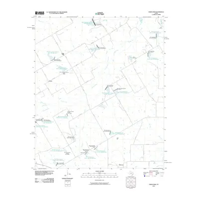
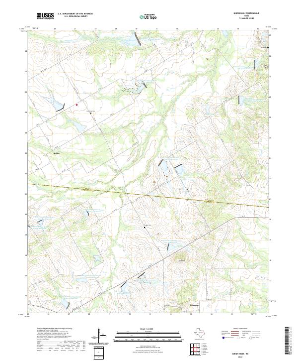 2022 Union High2022 Print · USGSNavarro and Limestone counties are shown here in the early twenty-first century, featuring a landscape shaped by water conservation and rural tradition. Genealogists and local historians can locate Rodney, Tehuacana Cem, and Broadtree Cem among a vast network of soil conservation reservoirs.
 - 2022 Map of Tehuacana, 2022 Print
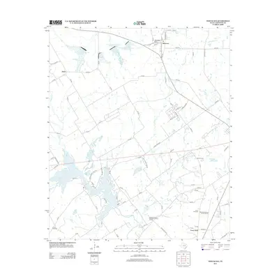
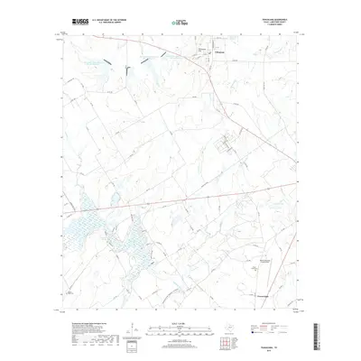
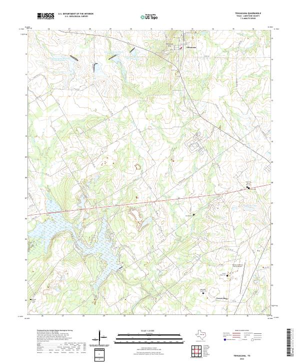 2022 Tehuacana2022 Print · USGSLimestone County's rolling prairie and historic settlements are captured here in the early twenty-first century. Researchers can trace family roots at Hancock Cem and Woodland Cem or locate old water sources like Comanche Spring and the Navasota River.
End of results
Showing maps 1-10 of 10
Top cities near Tehuacana
- Mexia historical maps
- Teague historical maps
- Groesbeck historical maps
- Wortham historical maps
- Coolidge historical maps
- Dawson historical maps
See more
Frequently asked questions
- What are the different types of historical maps available for Tehuacana?
- What is the oldest map of Tehuacana?
- Where can I purchase historical maps of Tehuacana for my home or office?
- Where can I download high-res historical maps of Tehuacana?
- Are there historical topographic maps available for Tehuacana?
- Is there historical aerial imagery available for Tehuacana?
- Where are historical maps of Tehuacana sourced from?