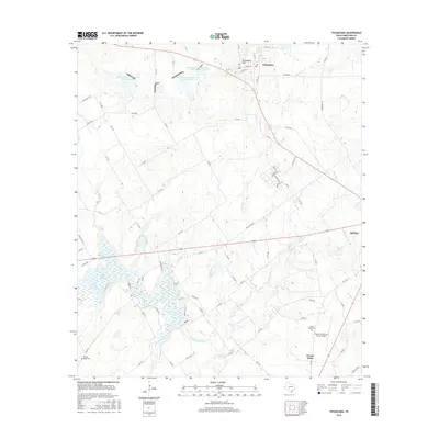
2016 Map of Tehuacana
USGS Topo · Published 2016About this map
Tehuacana and the surrounding Limestone County countryside are defined by a complex network of springs and water management systems. The high ground of the Tehuacana Hills overlooks the historic Tehuacana Spring, while to the south, the Navasota River feeds into the significant reservoir of Lake Mexia. This 2016 survey illustrates how modern soil conservation has shaped the landscape with numerous catchments like the Soil Conservation Service Site 22 Reservoir dotting the drainages of Elm Cr and Jacks Cr. Genealogists will find interest in the proximity of Honest Ridge and the Honest Ridge Cem, alongside the Forest Glade Cem near the Mexia-Limestone County Airport. The settlement of Mexia anchors the eastern edge of this region, where the prairie begins its transition toward the river bottomlands.
Find a feature on this map
84 named features on this map. Tap any name to fly to it.
Don’t see what you’re looking for? This feature index may not catch every label — zoom into the map to look around manually.
Map Details
Editions of this 2016 Tehuacana Map
This is the sole edition of this map. No revisions or reprints were ever made.
Other maps of this area

1920 · Mexia
USGS Topo · 1:62,500

1954 · Waco
USGS Topo · 1:250,000

1955 · Waco
USGS Topo · 1:250,000

1957 · Groesbeck
USGS Topo · 1:62,500

1960 · Echols
USGS Topo · 1:24,000

1960 · Groesbeck
USGS Topo · 1:24,000

1960 · Tehuacana
USGS Topo · 1:24,000

1963 · Wortham
USGS Topo · 1:24,000

1963 · Mexia
USGS Topo · 1:24,000

1965 · Coolidge
USGS Topo · 1:24,000