
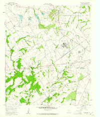
1960 Map of Tehuacana
USGS Topo · Published 1961About this map
Westminster College stands prominently on the elevated ground of the Hills near Tehuacana, characterizing this rural Limestone County landscape during the early 1960s. The region is defined by a series of water management structures, including Dam No 20 and Dam No 22, which moderate the flow of Tehuacana Creek and its tributaries. To the south, the expansive grounds of the Mexia State School and the Navasota River bottomlands frame the area's social and natural geography.
Find a feature on this map
40 named features on this map. Tap any name to fly to it.
Don’t see what you’re looking for? This feature index may not catch every label — zoom into the map to look around manually.
Map Details
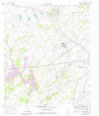
Editions of this 1960 Tehuacana Map
3 editions found
Other maps of this area

1920 · Mexia
USGS Topo · 1:62,500

1954 · Waco
USGS Topo · 1:250,000

1955 · Waco
USGS Topo · 1:250,000

1957 · Groesbeck
USGS Topo · 1:62,500

1960 · Echols
USGS Topo · 1:24,000

1960 · Groesbeck
USGS Topo · 1:24,000

1963 · Wortham
USGS Topo · 1:24,000

1963 · Mexia
USGS Topo · 1:24,000

1965 · Coolidge
USGS Topo · 1:24,000
1965 · Union High
USGS Topo · 1:24,000