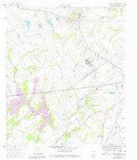
1960 Map of Tehuacana
USGS Topo · Published 1978About this map
Tehuacana Hills rise above the surrounding Texas plains, providing the geographic anchor for this 1960s landscape revised in the late 1970s. The area is characterized by a significant institutional presence, notably the Mexia State School and the historic grounds of Westminster College. Rural life is etched into the terrain through a network of small country churches and cemeteries, such as Bethesda Ch, Honest Ridge Cem, and Sardis Ch.
Find a feature on this map
32 named features on this map. Tap any name to fly to it.
Don’t see what you’re looking for? This feature index may not catch every label — zoom into the map to look around manually.
Map Details
Editions of this 1960 Tehuacana Map
3 editions found
Other maps of this area

1920 · Mexia
USGS Topo · 1:62,500

1954 · Waco
USGS Topo · 1:250,000

1955 · Waco
USGS Topo · 1:250,000

1957 · Groesbeck
USGS Topo · 1:62,500

1960 · Echols
USGS Topo · 1:24,000

1960 · Groesbeck
USGS Topo · 1:24,000

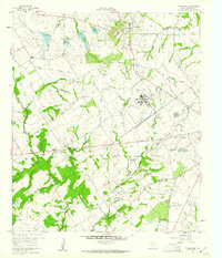
1960 · Tehuacana
USGS Topo · 1:24,000

1963 · Wortham
USGS Topo · 1:24,000

1963 · Mexia
USGS Topo · 1:24,000

1965 · Coolidge
USGS Topo · 1:24,000