Old Maps of Los Lomas, Texas for Hiking & Exploration
Hike through history with 13 historic maps of Los Lomas. Explore old trails, ghost towns, and forgotten backroads — perfect for outdoor adventurers and local explorers.
- Rediscover forgotten places: Map out old mining camps, roads, and footpaths that no longer exist on modern maps.
- Layer with modern tools: Combine with LiDAR or satellite views to plan hikes through historical terrain.
- Made for exploration: Popular among hikers, overlanders, and local history lovers.
Use these maps to find adventure and explore the hidden past of Los Lomas.
Los Lomas, TX maps
(13)- 1925 Map of Mathis No. 2
 1925 Mathis No. 21925 Print · USGSThe Nueces River valley in the mid-1920s is captured here just as aerial photography began to transform mapping. Researchers can trace the San Antonio Uvalde and Gulf railroad through old Dinero or follow the historic Old Spanish Trail.
 - 1927 Map of Mathis
 1927 Mathis1927 Print · USGSSouth Texas at the height of the railroad era reveals a landscape of cattle-ranching hubs and river crossings. Genealogists can trace family connections to rural settlements like Lagarto and Sandia, or follow the path of the old Alice and Beeville Road.2 unique versions available
 - 1953 Map of Beeville
 1953 Beeville1953 Print · USGSThe Texas Coastal Bend in the early fifties shows a landscape of growing regional hubs and vital maritime corridors. Trace the rail-and-river economy through Goliad, locate the Matagorda Lighthouse, and explore the sprawling Aransas National Wildlife Refuge.
 - 1954 Map of Mathis, 1956 Print
 1954 Mathis1956 Print · USGSThe Mathis area in the mid-1950s shows a landscape defined by the Nueces River and an expanding petroleum industry. Researchers can trace family-named sites like Wade Ranch and the lost siding at Swinney Switch or locate the old Drive-in Theater.2 unique versions available
 - 1956 Map of Beeville
 1956 Beeville1956 Print · USGSCoastal Texas and the brush country interior are shown in the mid-fifties, from the coastal bays to the inland oil fields. Trace the old rail lines of the Southern Pacific RR or locate the historic Matagorda Lighthouse and the Aransas National Wildlife Refuge.2 unique versions available
 - 1960 Map of Beeville
 1960 Beeville1960 Print · USGSCoastal Texas in the mid-fifties reveals a landscape of growing towns and vital military outposts like Foster AFB. Researchers can trace old rail lines including the Missouri Pacific and explore the vast Aransas National Wildlife Refuge.
 - 1979 Map of Dinero
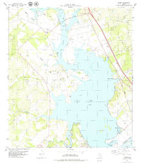 1979 Dinero1979 Print · USGSLive Oak County in the late seventies is defined by the expanse of the reservoir and the quiet settlements along its banks. Local historians can trace the Missouri Pacific line or find family landmarks like Twin Oaks Ranch and the Lagarto Cem.
 - 1985 Map of Beeville
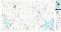 1985 Beeville1985 Print · USGSCoastal South Texas is captured here in the mid-1980s, from the inland plains of Beeville to the estuaries of the Gulf. Genealogists and researchers can trace local landmarks like Chase Field Naval Air Station or follow the historic Southern Pacific rail lines through Skidmore and Woodsboro.2 unique versions available
 - 2010 Map of Dinero, 2010 Print
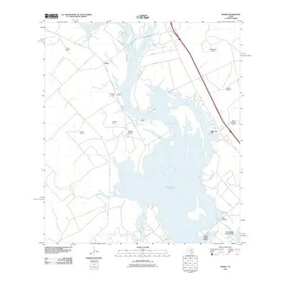 2010 Dinero2010 Print · USGSThe South Texas shoreline of Lake Corpus Christi is captured here in the early twenty-first century as modern developments began to flank the water. Researchers can locate family landmarks like Wright Cemetery, Dinero, and Mount Lucas.
 - 2013 Map of Dinero, 2013 Print
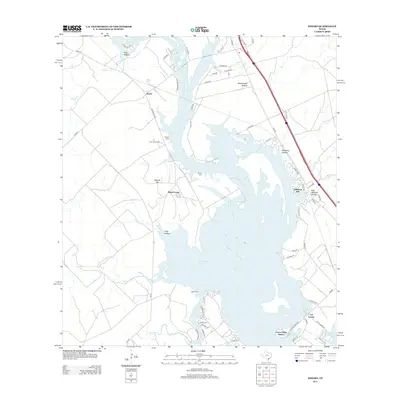 2013 Dinero2013 Print · USGSCoastal Bend ranchlands meet the expansive waters of Lake Corpus Christi in the early twenty-first century. Genealogists and local historians can trace family burial sites at Lagarto Cem and Wright Cem or explore the development of Peace Valley Harbor.
 - 2016 Map of Dinero, 2016 Print
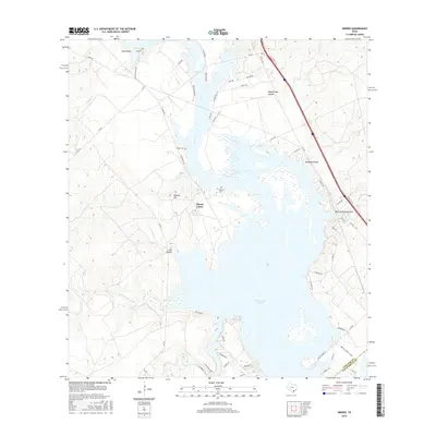 2016 Dinero2016 Print · USGSThe Live Oak County lakefront and rural landscapes are captured here during the mid-2010s. Local researchers can trace family landmarks and burial sites such as Wright Cem and Balania Cem or explore the rugged hollows near Lake Corpus Christi.
 - 2019 Map of Dinero, 2019 Print
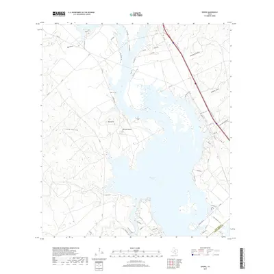 2019 Dinero2019 Print · USGSThe northern reaches of Lake Corpus Christi are captured here in the late 2010s, showing the intersection of reservoir life and South Texas ranching. Genealogists can locate Wright Cem, Balania Cem, and the old settlement site of Mount Lucas.
 - 2022 Map of Dinero, 2022 Print
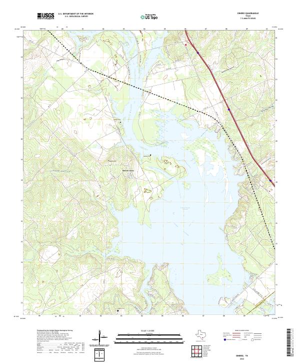 2022 Dinero2022 Print · USGSThe northern reaches of the Coastal Bend are captured here as the twenty-first century begins, centered on the expansive waters of Lake Corpus Christi. Genealogists and researchers can trace local family landmarks and burial sites like Wright Cem, Balania Cem, and the settlement at Mount Lucas.
End of results
Showing maps 1-13 of 13
Top cities near Los Lomas
- Mathis historical maps
- George West historical maps
- Orange Grove historical maps
- Lake City historical maps
Frequently asked questions
- What are the different types of historical maps available for Los Lomas?
- What is the oldest map of Los Lomas?
- Where can I purchase historical maps of Los Lomas for my home or office?
- Where can I download high-res historical maps of Los Lomas?
- Are there historical topographic maps available for Los Lomas?
- Is there historical aerial imagery available for Los Lomas?
- Where are historical maps of Los Lomas sourced from?