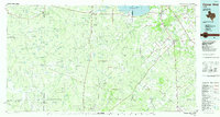
Old Maps of George West, Texas
Explore 20 old maps of George West, spanning from 1920 to today. These high-resolution historic maps reveal how streets, neighborhoods, landmarks, and natural features evolved over time — perfect for genealogy, metal detecting, research, and local history exploration.
What you can do with these maps:
- See how George West changed over time: Compare historical maps to modern-day views to trace roads, homesites, rail lines & more.
- View detailed metadata: Each map includes creators, publishers, year, scale, and archive source.
- Overlay maps with satellite & LiDAR: Visualize the past alongside modern tools to explore terrain & human change.
- Trusted historical sources: Maps sourced from the USGS, Library of Congress, and other archives.
- Access maps your way: View online, download high-res files, or order prints for personal or research use.
Start exploring old maps of George West to uncover forgotten places, hidden landmarks, and the deep history beneath your feet.
George West, TX maps
(20)- 1920 Map of Mikeska
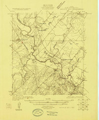
 1920 Mikeska1920 Print · USGSSouth Texas ranching country comes to life in this post-World War I tactical survey of the Live Oak County area. Genealogists and historians can trace family landholdings from OAKVILLE to George West, locating ancestral landmarks like Simmons City, Mikeska, and the O'Connor Ranch.
 - 1925 Map of Oakville No. 4
 1925 Oakville No. 41925 Print · USGSDuring the mid-twenties, Live Oak County was a landscape defined by the Nueces River and competing rail lines. Family historians can locate rural landmarks like Marbach School and Gussettville School or the settlement of Mikeska.
 - 1927 Map of Oakville
 1927 Oakville1927 Print · USGSLive Oak County during the mid-twenties shows a landscape of river-confluence towns and rail-connected hubs. Researchers can trace the development of Three Rivers and George West alongside rural landmarks like Marbach School and Gussettville School.2 unique versions available
 - 1953 Map of Crystal City
 1953 Crystal City1953 Print · USGSSouth Texas in the early fifties was a landscape of expanding oil fields and vital rail connections. Genealogists and researchers can trace family lands along the Nueces River or locate heritage sites in Asherton, Big Wells, and Batesville.
 - 1955 Map of Crystal City, 1976 Print
 1955 Crystal City1976 Print · USGSSouth Texas ranching and oil country come into focus in the mid-fifties as the rail lines and rivers connect growing hubs. Researchers can trace the development of energy fields like Washburn Oil Field or locate historic settlements from Asherton to Three Rivers.
 - 1961 Map of Crystal City
 1961 Crystal City1961 Print · USGSSouth Texas in the early sixties reveals a landscape of massive cattle ranches and emerging oil fields. Genealogists and historians can trace the Missouri Pacific rail lines through Crystal City, or locate water features like Espantosa Lake and Boynton Reservoir.
 - 1963 Map of Oakville SW, 1965 Print
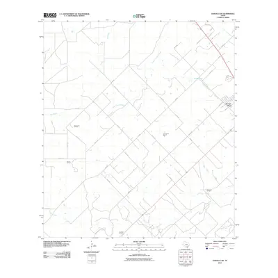
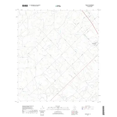
 1963 Oakville SW1965 Print · USGSLive Oak County in the early sixties was a landscape defined by the intersection of South Texas ranching and a massive petroleum boom. Researchers can trace the extensive footprints of the George West Oil Field and locate the Missouri Pacific rail corridor.2 unique versions available
 - 1968 Map of Crystal City
 1968 Crystal City1968 Print · USGSSouth Texas in the late sixties reveals a landscape shaped by ranching roots and the vital waters of the Nueces River. Researchers can trace the rail-driven growth of Crystal City or locate landmarks like Pilot Knob and Espantosa Lake.
 - 1968 Map of George West, 1972 Print
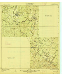
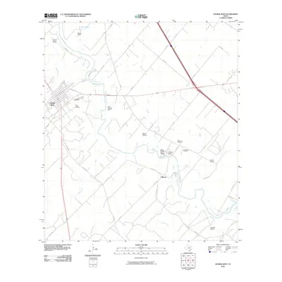
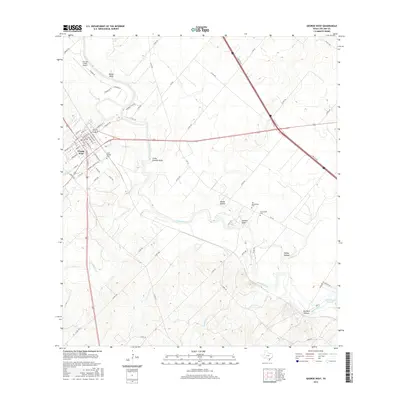
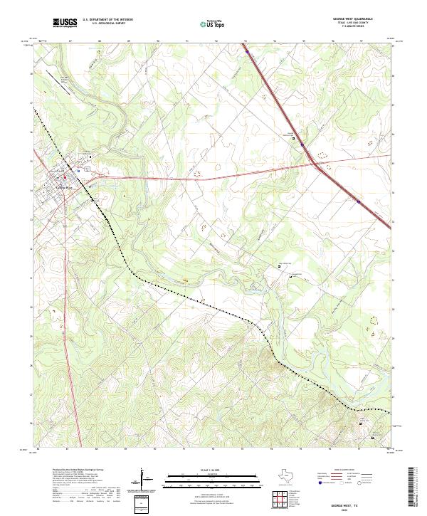
 1968 George West1972 Print · USGSGeorge West and the Nueces River valley are captured here in the late sixties, showing a landscape defined by ranching and the energy industry. Genealogists can locate the Old Gussettville Cem, St George Cem, and the historical Fort Merrill (Site).2 unique versions available
 - 1985 Map of George West
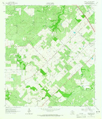
 1985 George West1985 Print · USGSThe Brush Country of South Texas was undergoing major changes in the 1980s as the Choke Canyon Reservoir took shape. Researchers can trace the sprawling Clay West Oil Field, the Missouri Pacific rail line, and older communities like Oakville and Fowlerton.2 unique versions available
 - 2010 Map of George West, 2010 Print
 2010 George West2010 Print · USGSCovers George West, including Mikeska, River Creek Acres, and other nearby areas
 - 2010 Map of Oakville SW, 2010 Print
 2010 Oakville SW2010 Print · USGSCovers George West, including Live Oak County, United States, and other nearby areas
 - 2013 Map of Oakville SW, 2013 Print
 2013 Oakville SW2013 Print · USGSCovers George West, including Live Oak County, United States, and other nearby areas
 - 2013 Map of George West, 2013 Print
 2013 George West2013 Print · USGSCovers George West, including Mikeska, River Creek Acres, and other nearby areas
 - 2016 Map of Oakville SW, 2016 Print
 2016 Oakville SW2016 Print · USGSCovers George West, including Live Oak County, United States, and other nearby areas
 - 2016 Map of George West, 2016 Print
 2016 George West2016 Print · USGSCovers George West, including Mikeska, River Creek Acres, and other nearby areas
 - 2019 Map of Oakville SW, 2019 Print
 2019 Oakville SW2019 Print · USGSCovers George West, including Live Oak County, United States, and other nearby areas
 - 2019 Map of George West, 2019 Print
 2019 George West2019 Print · USGSCovers George West, including Mikeska, River Creek Acres, and other nearby areas
 - 2022 Map of Oakville SW, 2022 Print
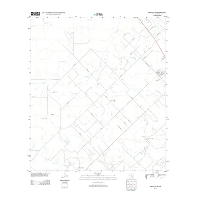
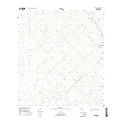
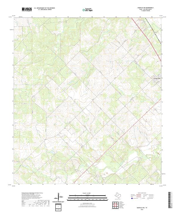 2022 Oakville SW2022 Print · USGSGeorge West and the surrounding Live Oak County ranch lands are detailed here in the early twenty-first century. Researchers can trace the local drainage systems of Salt Br and Timon Cr or locate properties near Katzfey Lake and George West.
 - 2022 Map of George West, 2022 Print
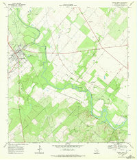
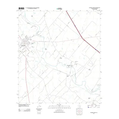
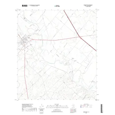
 2022 George West2022 Print · USGSGeorge West and the surrounding Live Oak County countryside appear in clear detail in this contemporary survey of the South Texas brush country. Genealogists can trace family heritage through numerous burial sites like Gussettville Cem, Guy James Cem, and the Shipp Family Cem.
End of results
Showing maps 1-20 of 20
Top cities near George West
Frequently asked questions
- What are the different types of historical maps available for George West?
- What is the oldest map of George West?
- Where can I purchase historical maps of George West for my home or office?
- Where can I download high-res historical maps of George West?
- Are there historical topographic maps available for George West?
- Is there historical aerial imagery available for George West?
- Where are historical maps of George West sourced from?