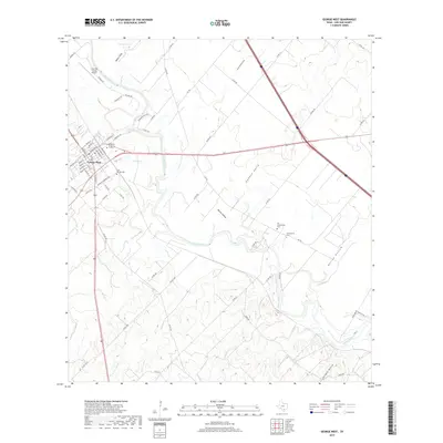
2019 Map of George West
USGS Topo · Published 2019About this map
The Nueces River winds prominently through this South Texas landscape, serving as the central geographic feature for the community of George West. This 2019 survey illustrates the modern layout of the town, featuring a grid of streets such as Houston St and Travis St, while the surrounding terrain is defined by drainage features like Gamble Gully and Ramie Hollow. Local genealogy and history are well-represented by several burial sites, including Saint George Cem near the town center and the historically significant Old Gussettville Cem and Gussettville Cem located to the southeast. Transportation infrastructure is anchored by the Live Oak County Airport and a network of county roads that navigate the varying elevations between Harris Lake and the river valley. The map documents the persistent rural character of the region, where named hollows like Hailey Hollow and Gerhard Hollow transition into the agricultural and ranching lands of Live Oak County.
Find a feature on this map
70 named features on this map. Tap any name to fly to it.
Don’t see what you’re looking for? This feature index may not catch every label — zoom into the map to look around manually.
Map Details
Editions of this 2019 George West Map
This is the sole edition of this map. No revisions or reprints were ever made.
Other maps of this area

1920 · Mikeska
USGS Topo · 1:125,000

1925 · Oakville No. 4
USGS Topo · 1:48,000

1925 · Mathis No. 2
USGS Topo · 1:48,000

1927 · Mathis
USGS Topo · 1:62,500

1927 · Oakville
USGS Topo · 1:62,500

1953 · Crystal City
USGS Topo · 1:250,000

1953 · Beeville
USGS Topo · 1:250,000

1954 · Fleming
USGS Topo · 1:62,500

1954 · Mathis
USGS Topo · 1:62,500

1955 · Crystal City
USGS Topo · 1:250,000