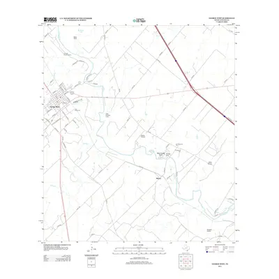
2013 Map of George West
USGS Topo · Published 2013About this map
The Nueces River winds through the heart of this South Texas landscape, creating a series of intricate bends and alluvial features like Ramie Hollow and Gamble Gully. The settlement of George West stands as the primary hub, showing a structured grid of streets such as Milam St and Zapata St near Timon Cr. This 2013 survey illustrates the coexistence of traditional ranching geography with modern infrastructure, including the Live Oak County Airport and the path of the interstate. Notable for genealogists, the map identifies several significant burial grounds, including Saint George Cem and the Old Gussettville Cem near the riverbanks. To the southeast, the landscape transitions toward the upper reaches of Lake Corpus Christi, following the drainage of Gilden Cr and Spring Cr.
Find a feature on this map
70 named features on this map. Tap any name to fly to it.
Don’t see what you’re looking for? This feature index may not catch every label — zoom into the map to look around manually.
Map Details
Editions of this 2013 George West Map
This is the sole edition of this map. No revisions or reprints were ever made.
Other maps of this area

1920 · Mikeska
USGS Topo · 1:125,000

1925 · Oakville No. 4
USGS Topo · 1:48,000

1925 · Mathis No. 2
USGS Topo · 1:48,000

1927 · Mathis
USGS Topo · 1:62,500

1927 · Oakville
USGS Topo · 1:62,500

1953 · Crystal City
USGS Topo · 1:250,000

1953 · Beeville
USGS Topo · 1:250,000

1954 · Fleming
USGS Topo · 1:62,500

1954 · Mathis
USGS Topo · 1:62,500

1955 · Crystal City
USGS Topo · 1:250,000