Old Maps of Horseshoe Bay, Texas for Metal Detecting
Plan your next treasure hunt with 25 historic maps of Horseshoe Bay. Find old homesites, ghost towns, trails, and gathering spots that may be lost to time — perfect for identifying promising metal detecting locations.
- Locate forgotten sites: Uncover places like long-lost settlements, abandoned rail lines, or gathering spots.
- Plan better hunts: Use map overlays combined with LiDAR or satellite views to narrow in on historically rich areas.
- Made for detectorists: Thousands of hobbyists use these maps to discover relics, coins, and hidden history.
Use these historic maps to boost your research and find new opportunities beneath the surface of Horseshoe Bay.
Horseshoe Bay, TX maps
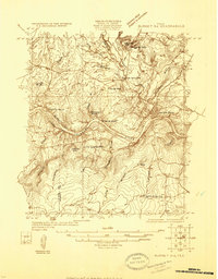
(25)- 1887 Map of Burnet
 1887 Burnet1887 Print · USGSCentral Texas in the late nineteenth century is defined here by the arrival of the rail line and the wild course of the Colorado River. Genealogists and historians can trace early settlements and transit points like Tiger Mill, Bluffton, and Wolf Crossing.
 - 1893 Map of Burnet
 1893 Burnet1893 Print · USGSThe Texas Hill Country comes alive in this late nineteenth-century survey, showcasing a landscape of river crossings and early rail expansion. Researchers can locate vanished communities and rural landmarks like Tiger Mill, Wolf Crossing, and the old depot at Bertram.
 - 1903 Map of Burnet
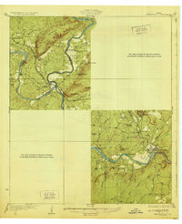
 1903 Burnet1903 Print · USGSThe Texas Hill Country at the turn of the century shows a landscape of river-side industry and early rail expansion. Trace the historic Houston and Texas Central Railroad line through Burnet and Bertram or locate long-standing landmarks like Morman Mill and Tanyard Crossing.
 - 1909 Map of Burnet
 1909 Burnet1909 Print · USGSThe Texas Hill Country at the turn of the century shows a landscape of river crossings and rail towns before the creation of the Highland Lakes. Genealogists can locate family-named landmarks like Morman Mill, Tumlinson, and rural schoolhouses such as Berry School or Sunny Lane.3 unique versions available
 - 1925 Map of Burnet 3-d
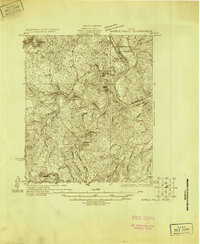
 1925 Burnet 3-d1925 Print · USGSTexas hill country in the mid-twenties centers on the river-bend industry of the Colorado. Researchers can trace the early layout of Marble Falls and locate historical landmarks like Granite Mtn Sta, Rennison Knob, and Flatrock Spring.
 - 1929 Map of Marble Falls
 1929 Marble Falls1929 Print · USGSThe Texas Hill Country at the end of the 1920s shows the original river channels and granite industry before major reservoir construction. Trace early rail stops like Wood Spur and local landmarks such as Granite Mtn and Hoover Sch.
 - 1931 Map of Marble Falls
 1931 Marble Falls1931 Print · USGSThe Texas Hill Country at the start of the 1930s is revealed here as a landscape of isolated peaks and winding river bends. Genealogists and local historians can trace family roots near Gaddy Crossing, the Upshaw settlement, or old schools like Sandy Mtn Sch.
 - 1932 Map of Marble Falls
 1932 Marble Falls1932 Print · USGSThe Colorado River valley at the LLano and Burnet County line is shown here in the early thirties, before the creation of the modern lakes. Researchers can trace the Southern Pacific rail line through Kingsland and locate rural schools like La Vista School and Hoover School.2 unique versions available
 - 1954 Map of Llano, 1964 Print
 1954 Llano1964 Print · USGSThe Texas Hill Country and Highland Lakes appear in the mid-fifties, just as new reservoirs began reshaping the landscape. Trace ranching history and river routes from Mason to Llano, or follow the Gulf Colorado and Santa Fe RR past Buchanan Lake.2 unique versions available
 - 1955 Map of Llano
 1955 Llano1955 Print · USGSCentral Texas and the Hill Country are seen here during the mid-1950s growth of the Highland Lakes. Trace old settlements and geologic landmarks from Enchanted Rock and Longhorn Cavern to the small community of Luckenbach.
 - 1956 Map of Llano, 1976 Print
 1956 Llano1976 Print · USGSThe Texas Hill Country comes alive in this mid-seventies survey of the Llano Uplift and Colorado River lakes. Genealogists and historians can trace family roots through settlements like Luckenbach and Castell or locate the famed L B J Ranch and Enchanted Rock.
 - 1967 Map of Dunman Mountain, 1970 Print
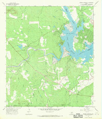 1967 Dunman Mountain1970 Print · USGSThe Texas Hill Country shoreline transitions from ranching to recreation in the late sixties as Lake Lyndon B Johnson takes shape. Researchers can trace family history at Wolf Crossing Cem or explore the early layout of Sherwood Shores.2 unique versions available
 - 1967 Map of Marble Falls, 1971 Print
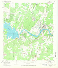 1967 Marble Falls1971 Print · USGSMarble Falls and the surrounding Hill Country are captured here in the late sixties as the region's hydroelectric and quarrying industries matured. Researchers can trace the river's transformation at the Alvin Wirtz Dam or locate family history at Konvicka Cem and Fox Cem.2 unique versions available
 - 1985 Map of Llano
 1985 Llano1985 Print · USGSThe Texas Hill Country and Highland Lakes come into focus in the mid-1980s, showcasing the intersection of traditional ranching and modern lakeside growth. Researchers can locate vanished schoolhouses and family burial sites like Valley Spring Sch, Babyhead Cem, and the rural community of Oatmeal.
 - 1992 Map of Llano
 1992 Llano1992 Print · USGSThe Texas Hill Country comes into focus in the early nineties as the Highland Lakes and the granite uplifts of Llano and Burnet define the landscape. Researchers can trace the Southern Pacific line and locate local landmarks from Enchanted Rock to the Llano County Courthouse.2 unique versions available
 - 2010 Map of Marble Falls, 2010 Print
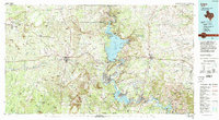
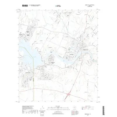
 2010 Marble Falls2010 Print · USGSCovers Horseshoe Bay, including Marble Falls, Granite Shoals, and other nearby areas
 - 2010 Map of Dunman Mountain, 2010 Print
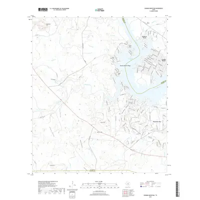
 2010 Dunman Mountain2010 Print · USGSCovers Horseshoe Bay, including Granite Shoals, Sunrise Beach Village, and other nearby areas
 - 2012 Map of Marble Falls, 2012 Print
 2012 Marble Falls2012 Print · USGSCovers Horseshoe Bay, including Marble Falls, Granite Shoals, and other nearby areas
 - 2012 Map of Dunman Mountain, 2012 Print
 2012 Dunman Mountain2012 Print · USGSCovers Horseshoe Bay, including Granite Shoals, Sunrise Beach Village, and other nearby areas
 - 2016 Map of Marble Falls, 2016 Print
 2016 Marble Falls2016 Print · USGSCovers Horseshoe Bay, including Marble Falls, Granite Shoals, and other nearby areas
 - 2016 Map of Dunman Mountain, 2016 Print
 2016 Dunman Mountain2016 Print · USGSCovers Horseshoe Bay, including Granite Shoals, Sunrise Beach Village, and other nearby areas
 - 2019 Map of Dunman Mountain, 2019 Print
 2019 Dunman Mountain2019 Print · USGSCovers Horseshoe Bay, including Granite Shoals, Sunrise Beach Village, and other nearby areas
 - 2019 Map of Marble Falls, 2019 Print
 2019 Marble Falls2019 Print · USGSCovers Horseshoe Bay, including Marble Falls, Granite Shoals, and other nearby areas
 - 2022 Map of Marble Falls, 2022 Print
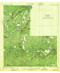
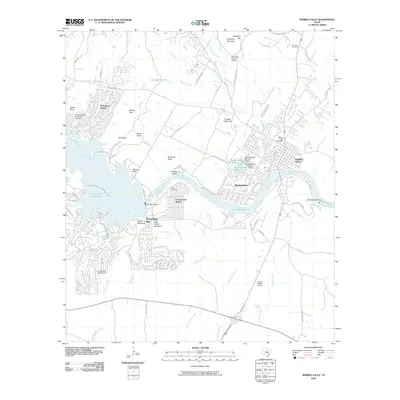
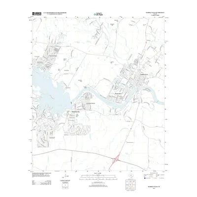
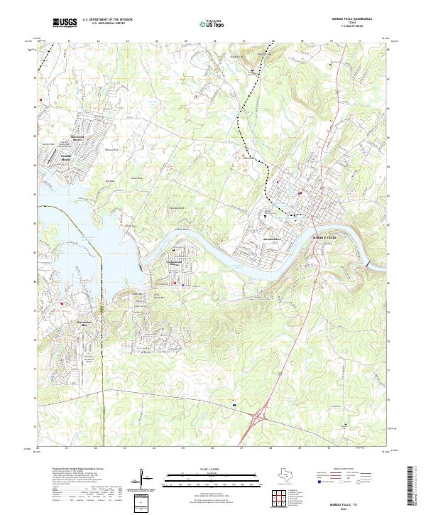 2022 Marble Falls2022 Print · USGSThe Colorado River corridor near Marble Falls comes alive in this contemporary survey of lakeside growth and granite geology. Researchers can trace family history at the Marble Falls City Cemetery or explore the shores of Lake Lyndon B Johnson and Lake Marble Falls.
 - 2023 Map of Dunman Mountain, 2023 Print
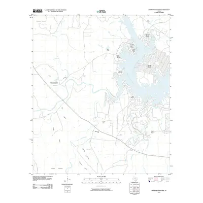
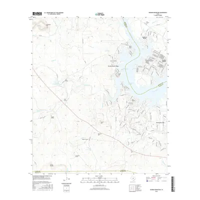
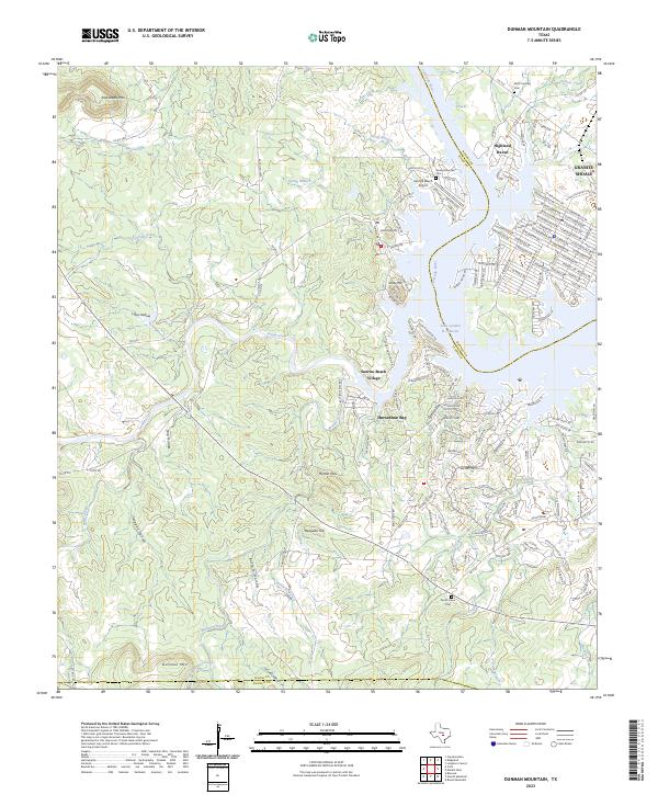 2023 Dunman Mountain2023 Print · USGSThe Texas Hill Country comes alive in this survey of the Llano and Burnet county lines during a period of significant lakeside growth. Local historians can trace old family burial grounds like Wolf Crossing Cem alongside the expanding shorelines of Lake Lyndon B Johnson and Horseshoe Bay.
End of results
Showing maps 1-25 of 25
Top cities near Horseshoe Bay
- Marble Falls historical maps
- Burnet historical maps
- Granite Shoals historical maps
- Meadowlakes historical maps
- Cottonwood Shores historical maps
- Sunrise Beach Village historical maps
See more
Frequently asked questions
- What are the different types of historical maps available for Horseshoe Bay?
- What is the oldest map of Horseshoe Bay?
- Where can I purchase historical maps of Horseshoe Bay for my home or office?
- Where can I download high-res historical maps of Horseshoe Bay?
- Are there historical topographic maps available for Horseshoe Bay?
- Is there historical aerial imagery available for Horseshoe Bay?
- Where are historical maps of Horseshoe Bay sourced from?