Old Maps of County Line, Texas for Academic Research
Study the evolution of County Line with 12 high-resolution historic maps. Whether you're teaching, researching, or modeling changes in land use, these maps provide essential visual documentation of urban, environmental, and geographic change.
- Analyze long-term change: Track patterns in development, transportation, and natural features.
- Ideal for environmental or urban studies: Support academic projects with primary historical map data.
- Use in the classroom or lab: Educators and researchers rely on these maps to bring historical context to life.
These maps are a powerful tool for teaching, research, and visualizing how County Line has changed over the decades.
County Line, TX maps
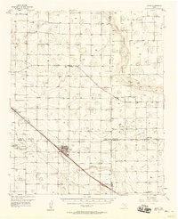
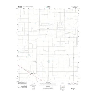
(12)- 1954 Map of Brownfield, 1975 Print
 1954 Brownfield1975 Print · USGSThe High Plains of the Texas-New Mexico border are captured here in the mid-twentieth century, as ranching and oil extraction shaped the Llano Estacado. Genealogists and historians can trace small rural centers like Lums Chapel, Hillburn City, and the Friendship Sch amid a landscape of windmills.2 unique versions available
 - 1957 Map of Anton, 1958 Print
 1957 Anton1958 Print · USGSThe South Plains of Texas come alive in the late fifties, showcasing the intersection of ranching and oil production. Trace family roots and vanished infrastructure through the Anton-Irish Oil Field, the Hardy Sch, and the depot at Anton.
 - 1958 Map of Brownfield
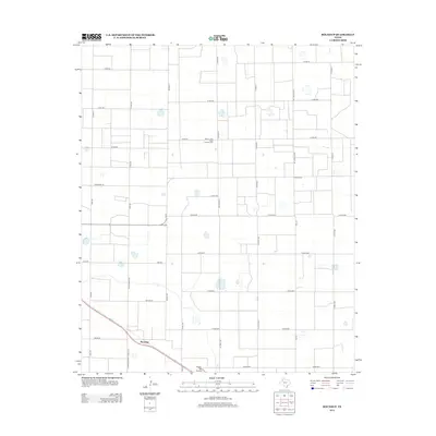
 1958 Brownfield1958 Print · USGSThe High Plains of the Texas-New Mexico border are captured here during a mid-century oil boom. Genealogists and historians can trace old community sites like Lums Chapel and Tokio alongside the vast Levelland and Slaughter Oil and Gas Field.
 - 1962 Map of Brownfield
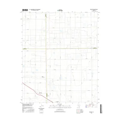
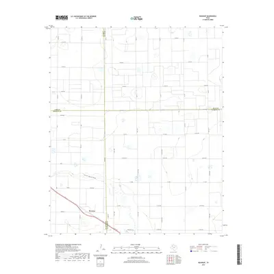
 1962 Brownfield1962 Print · USGSThe High Plains of Texas and New Mexico are captured in the early sixties as a thriving hub of oil production and ranching. Researchers can trace the industrial footprint of the Levelland and Slaughter Oil and Gas Field or locate smaller towns like Sundown and Littlefield.
 - 1976 Map of Anton SE, 1978 Print
 1976 Anton SE1978 Print · USGSThe Lubbock plains in the mid-1970s show a highly organized landscape of industrial agriculture and rural roads. Historians and researchers can locate the settlement of Roundup and trace the administrative COUNTY LINE through the meticulously gridded farmsteads.2 unique versions available
 - 1985 Map of Roundup
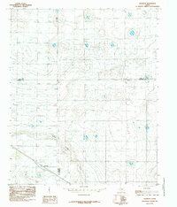 1985 Roundup1985 Print · USGSThe Texas High Plains at the junction of four counties are captured here in the mid-1980s. Genealogists and land researchers can trace property boundaries near Roundup and follow the natural drainage of Yellow House Draw across the Llano Estacado.
 - 1985 Map of Levelland, 1986 Print
 1985 Levelland1986 Print · USGSThe West Texas High Plains are captured here in the mid-eighties as oil production and agriculture defined the region's economy. Researchers can trace the sprawling Levelland and Slaughter Oil and Gas Field or locate rural landmarks like Lums Chapel and South Plains College.2 unique versions available
 - 2010 Map of Roundup, 2010 Print
 2010 Roundup2010 Print · USGSCovers County Line, including Roundup, Lubbock County, and other nearby areas
 - 2012 Map of Roundup, 2012 Print
 2012 Roundup2012 Print · USGSCovers County Line, including Roundup, Lubbock County, and other nearby areas
 - 2016 Map of Roundup, 2016 Print
 2016 Roundup2016 Print · USGSCovers County Line, including Roundup, Lubbock County, and other nearby areas
 - 2019 Map of Roundup, 2019 Print
 2019 Roundup2019 Print · USGSCovers County Line, including Roundup, Lubbock County, and other nearby areas
 - 2022 Map of Roundup, 2022 Print
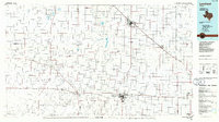
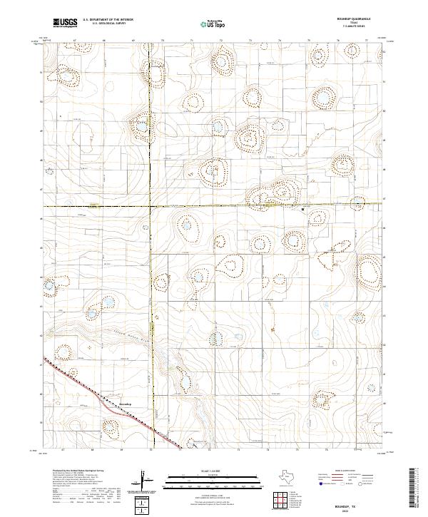 2022 Roundup2022 Print · USGSThe High Plains of West Texas are shown here during the early 2020s, centered on the community of Roundup. Genealogists can locate family sites near the County Line Cem and trace the crossing of the four-county line and Yellow House Draw.
End of results
Showing maps 1-12 of 12
Top cities near County Line
- Lubbock historical maps
- Abernathy historical maps
- Shallowater historical maps
- Anton historical maps
- New Deal historical maps
Frequently asked questions
- What are the different types of historical maps available for County Line?
- What is the oldest map of County Line?
- Where can I purchase historical maps of County Line for my home or office?
- Where can I download high-res historical maps of County Line?
- Are there historical topographic maps available for County Line?
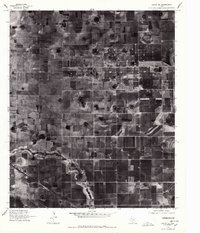
- Is there historical aerial imagery available for County Line?
- Where are historical maps of County Line sourced from?