Old Maps of Shadow Hills, Lubbock for Academic Research
Study the evolution of Shadow Hills with 9 high-resolution historic maps. Whether you're teaching, researching, or modeling changes in land use, these maps provide essential visual documentation of urban, environmental, and geographic change.
- Analyze long-term change: Track patterns in development, transportation, and natural features.
- Ideal for environmental or urban studies: Support academic projects with primary historical map data.
- Use in the classroom or lab: Educators and researchers rely on these maps to bring historical context to life.
These maps are a powerful tool for teaching, research, and visualizing how Shadow Hills has changed over the decades.
Shadow Hills, Lubbock maps
(9)- 1954 Map of Lubbock, 1958 Print
 1954 Lubbock1958 Print · USGSThe High Plains and Caprock region of West Texas come alive in the mid-1950s, showing a landscape defined by oil discovery and the Brazos River headwaters. Genealogists and historians can trace rail-connected towns like Roaring Springs, find the Pleasant Valley church, or locate family-named landmarks such as Soldier Mound.4 unique versions available
 - 1957 Map of Lubbock West, 1958 Print
 1957 Lubbock West1958 Print · USGSLubbock and its western fringes are shown in the late fifties during a period of rapid institutional and residential growth. Genealogists and local historians can trace the early layout of the Texas Technological College campus and locate community landmarks like Resthaven Cemetery and Carlisle.3 unique versions available
 - 1957 Map of Lubbock, 1958 Print
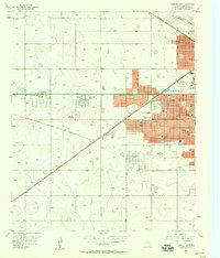
 1957 Lubbock1958 Print · USGSLubbock and its surrounding High Plains communities are captured here in the late fifties during a period of steady growth. Researchers can trace local genealogy and land use through landmarks like City Cemetery, Antioch Sch, and the Lubbock Municipal Airport.
 - 1986 Map of Lubbock
 1986 Lubbock1986 Print · USGSLubbock and the surrounding High Plains are documented in the mid-eighties as a structured grid of agricultural tracts and growing urban centers. Genealogists and local historians can trace family-named areas like Heckville, old rail stops on the Atchison Topeka and Santa Fe, and the winding path of Yellow House Canyon.2 unique versions available
 - 2010 Map of Lubbock West, 2010 Print
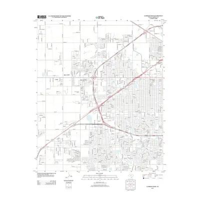
 2010 Lubbock West2010 Print · USGSCovers Shadow Hills, including Lubbock, Wolfforth, and other nearby areas
 - 2012 Map of Lubbock West, 2012 Print
 2012 Lubbock West2012 Print · USGSCovers Shadow Hills, including Lubbock, Wolfforth, and other nearby areas
 - 2016 Map of Lubbock West, 2016 Print
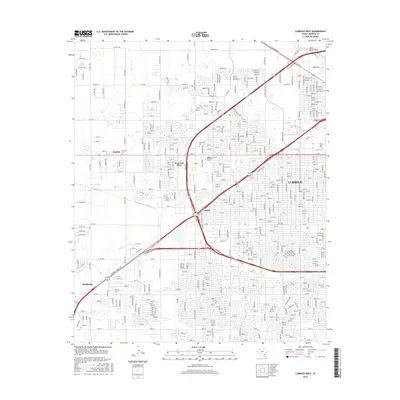 2016 Lubbock West2016 Print · USGSCovers Shadow Hills, including Lubbock, Wolfforth, and other nearby areas
 - 2019 Map of Lubbock West, 2019 Print
 2019 Lubbock West2019 Print · USGSCovers Shadow Hills, including Lubbock, Wolfforth, and other nearby areas
 - 2022 Map of Lubbock West, 2022 Print
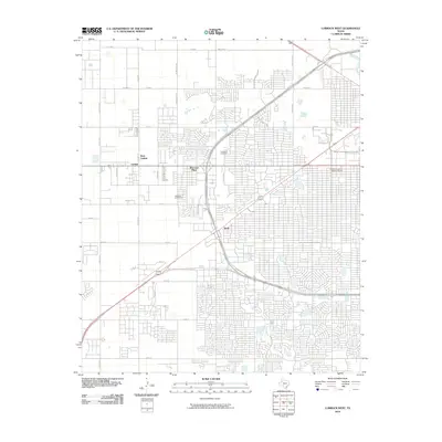
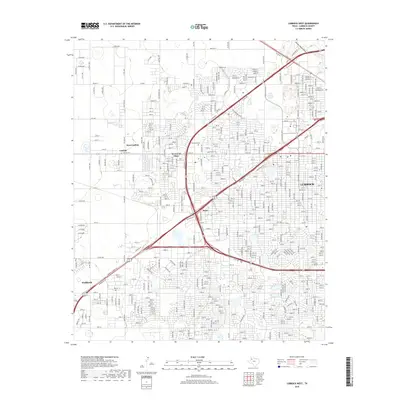
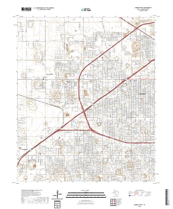 2022 Lubbock West2022 Print · USGSLubbock and the surrounding West Texas plains show significant suburban expansion and educational growth in the early 2020s. Genealogists and local historians can trace modern property lines and landmarks from West Carlisle to Wolfforth, including Carlisle Cem and the campus of Lubbock Christian University.
End of results
Showing maps 1-9 of 9
Frequently asked questions
- What are the different types of historical maps available for Shadow Hills?
- What is the oldest map of Shadow Hills?
- Where can I purchase historical maps of Shadow Hills for my home or office?
- Where can I download high-res historical maps of Shadow Hills?
- Are there historical topographic maps available for Shadow Hills?
- Is there historical aerial imagery available for Shadow Hills?
- Where are historical maps of Shadow Hills sourced from?