2020s Maps of Marion County, Texas
Explore 18 historic maps of Marion County from the 2020s. These maps offer a rare glimpse into what life looked like during the 2020s — showing old roads, neighborhoods, homes, and landmarks that have changed or disappeared over time.
Whether you're researching your family's past, planning a metal detecting trip, or studying how Marion County's landscape evolved across the 2020s, these high-resolution maps are a powerful tool for exploring the history of this region.
- Focus on a specific era: All maps on this page are from the 2020s, giving you a focused view of this time period.
- See what’s changed: Compare century-old streets, trails, and buildings to today's modern landscape using overlays and satellite layers.
- Research with precision: Use these maps for genealogy, historical research, land use analysis, or educational projects.
- View, download, or print: Maps are fully viewable online in high resolution, and can be downloaded or printed for your own records.
Start exploring Marion County's history through authentic maps from the 2020s. This is your window into the past.
Marion County, TX maps
(18)- 2020 Map of Trees, 2020 Print
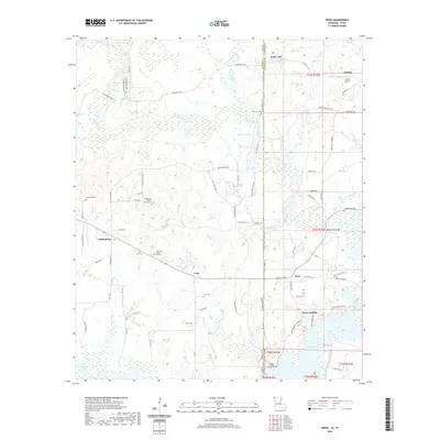 2020 Trees2020 Print · USGSThe Texas-Louisiana borderlands come into focus in this recent survey of the bayous and settlements northwest of Shreveport. Genealogists can locate numerous small burial grounds such as Core Cem African American and Gray Cem near the community of Trees.
 - 2022 Map of Smithland, 2022 Print
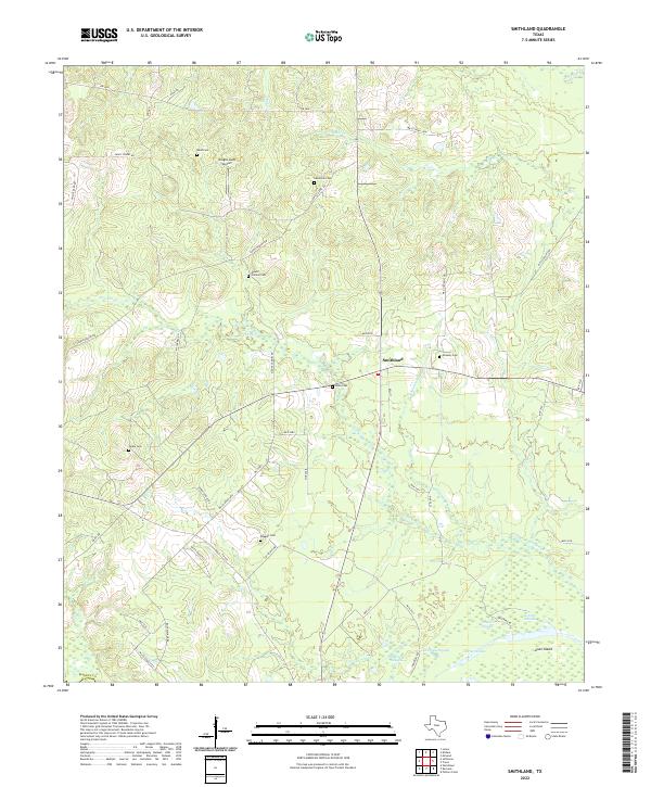 2022 Smithland2022 Print · USGSMarion County's rural landscape comes into focus in the early 2020s, revealing a community anchored by Smithland and its surrounding wetlands. Genealogists and historians can trace numerous family sites like Savannah Cem, Judea Cem, and the waters of Gravier Slough.
 - 2022 Map of Marshall NW, 2022 Print
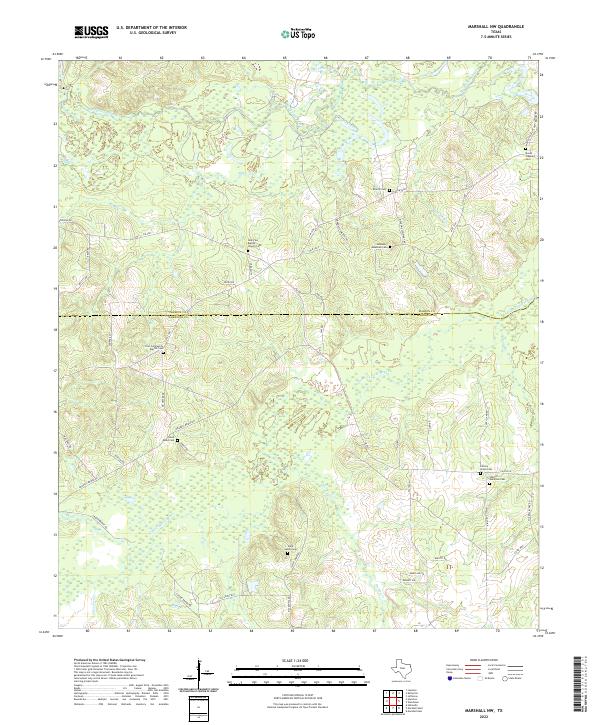 2022 Marshall NW2022 Print · USGSHarrison and Marion counties appear in this recent survey of East Texas, showing a landscape of bayous and rural family homesteads. Genealogists can trace local heritage through numerous burial sites including Hickory Grove Cem and Saint James Cem.
 - 2022 Map of Kildare, 2022 Print
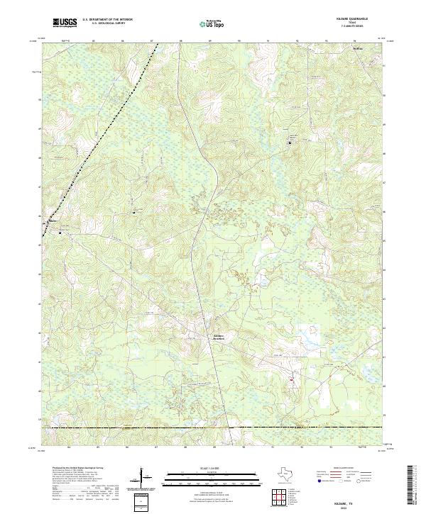 2022 Kildare2022 Print · USGSEast Texas ranch and timber lands are mapped here in the early twenty-first century, spanning the border of Cass and Marion counties. Researchers can locate family sites at Saint Paul Baptist Cem and trace water routes like Jim Bayou or Frazier Cr.
 - 2022 Map of Cunningham Creek, 2022 Print
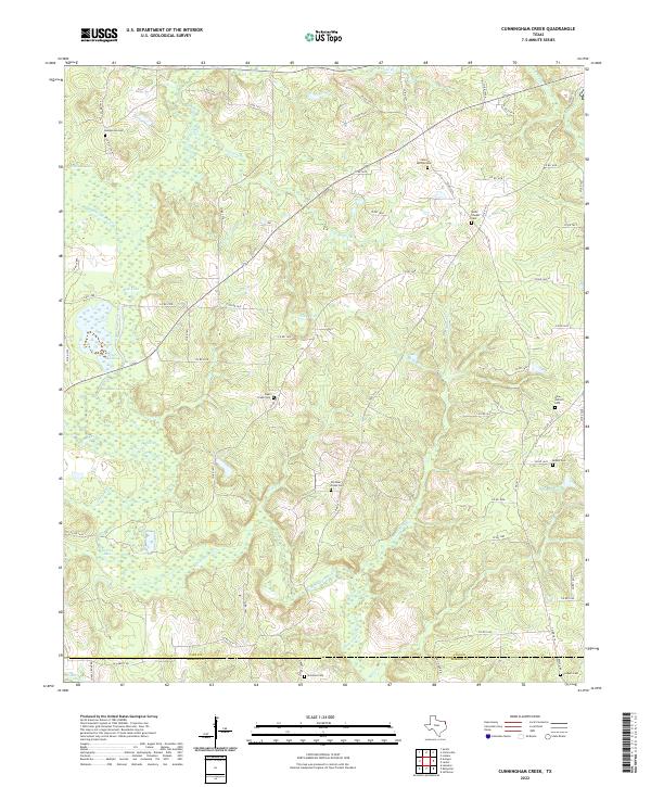 2022 Cunningham Creek2022 Print · USGSThe Cass and Marion County line in East Texas is documented here in the early 2020s, showing a landscape defined by creeks and timber. Genealogists can locate several family burial grounds including Henderson Cem, Wells Chapel Cem, and Lockett Cem along the Black Cypress Creek drainage.
 - 2022 Map of Kellyville, 2022 Print
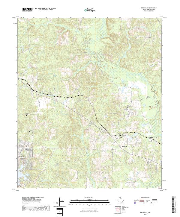 2022 Kellyville2022 Print · USGSMarion County at the start of the 2020s shows a landscape of bayous and small settlements. Genealogists can trace family lines through numerous burial grounds like Berea Cem and Webb Cem or follow the banks of Black Cypress Bayou.
 - 2022 Map of Avinger, 2022 Print
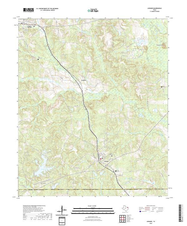 2022 Avinger2022 Print · USGSNortheast Texas timberlands and rail lines define this landscape in the early twenty-first century. Genealogists can locate family sites at Mount Moriah Cem and Love Chapel Cem while tracing the Avinger Cut Off through the heart of Avinger.
 - 2022 Map of McLeod, 2022 Print
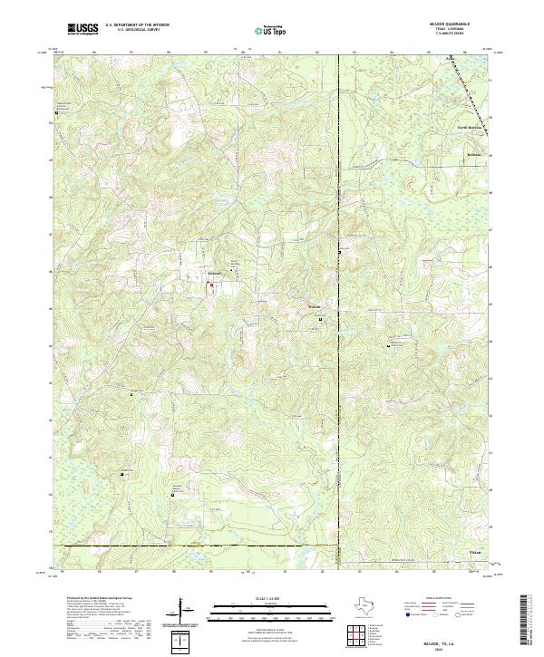 2022 McLeod2022 Print · USGSThe Texas-Louisiana borderlands come into focus here in the early 2020s, showing a landscape of timbered hills and rural crossroads. Local historians can trace family sites at Good Exchange Cem, Baugus Cem, and the historic Walnut Hill Church Cem.
 - 2022 Map of Harleton, 2022 Print
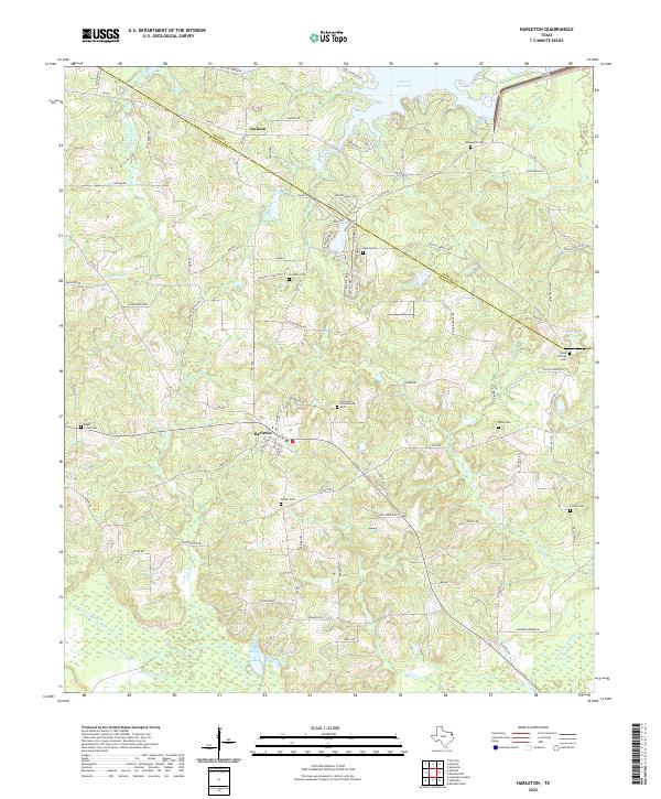 2022 Harleton2022 Print · USGSHarrison County settlement patterns and the winding waters of the Cypress Bayou are captured here in the early 2020s. Researchers can trace local lineage through a dozen rural burial sites including Eagle Creek Cem, Crockett Cem, and Piney Cem.
 - 2022 Map of Jefferson, 2022 Print
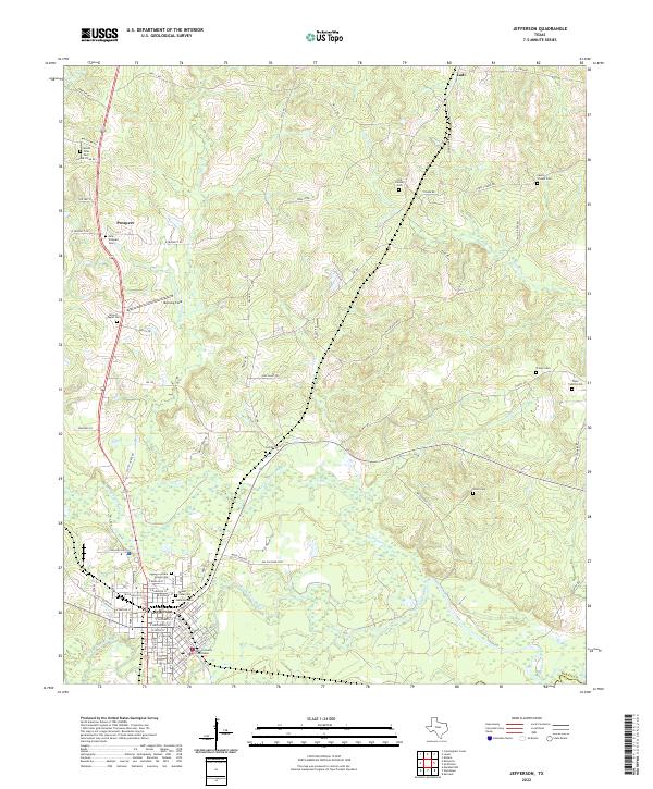 2022 Jefferson2022 Print · USGSJefferson and the surrounding Marion County countryside are documented here in the early twenty-first century as the riverfront landscape continues its modern evolution. Researchers can trace local genealogy through numerous sites like Cedar Grove Cem, Union Cem, and the Marion County Courthouse.
 - 2022 Map of Woodlawn, 2022 Print
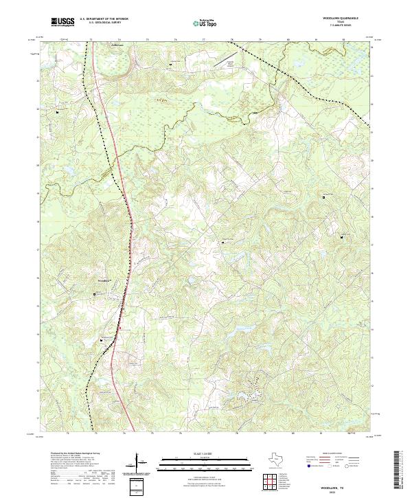 2022 Woodlawn2022 Print · USGSHarrison County in the early 2020s shows a landscape of bayous and rural family homesteads north of Marshall. Genealogists can trace local history through sites like Mount Zion Cem, Woodlawn Cem, and Adams Cem.
 - 2022 Map of Ore City, 2022 Print
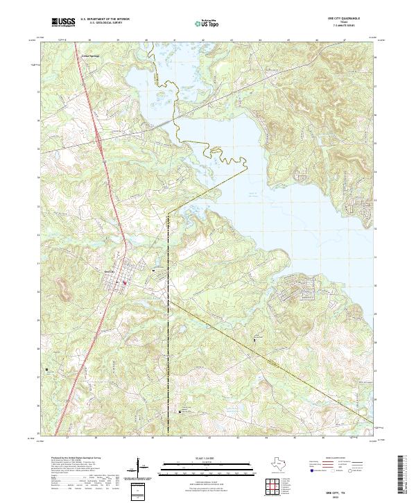 2022 Ore City2022 Print · USGSThe Piney Woods of East Texas come to life in this contemporary survey of the tri-county borderlands. Genealogists can trace family footprints through sites like Ore City Cem, Patto Settlement, and the County Line Baptist Church.
 - 2022 Map of Lone Star, 2022 Print
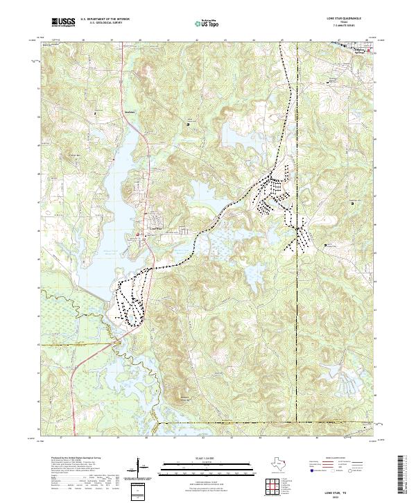 2022 Lone Star2022 Print · USGSLone Star and the surrounding iron-rich hills of Morris County appear here in the early twenty-first century, centered on industrial history and significant water reservoirs. Researchers can locate numerous family and community sites like Cheatham Cemetery, Mount Pilgrim Church Cemetery, and the iron works near Lone Star.
 - 2022 Map of Karnack, 2022 Print
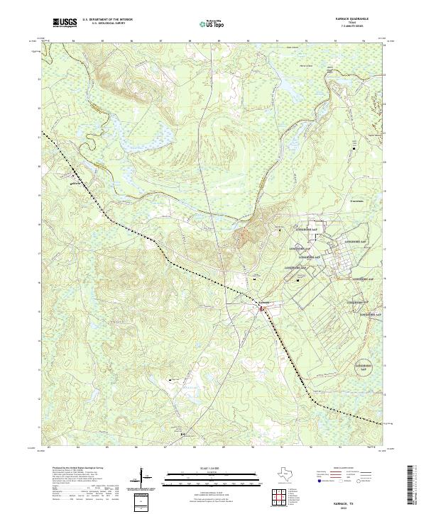 2022 Karnack2022 Print · USGSHarrison County in the early 2020s shows a landscape dominated by the winding Big Cypress Bayou and the community of Karnack. Genealogists and historians can locate several family burial grounds, including Beers Field Cem, Sipp Cem, and the Andrews Cem African American.
 - 2022 Map of Lassater, 2022 Print
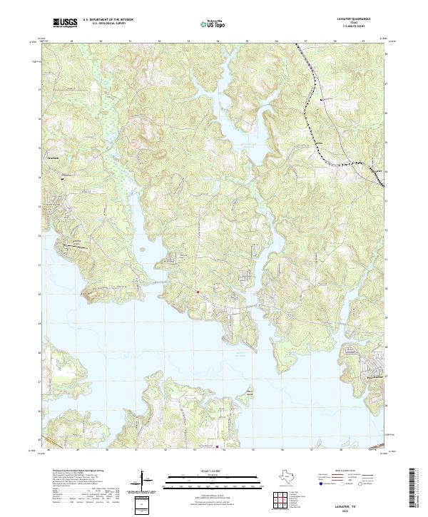 2022 Lassater2022 Print · USGSMarion County's lake-front landscape is captured here in the early twenty-first century, showing the intersection of reservoir waters and old rural crossroads. Researchers can locate family landmarks such as Mims Chapel Cem and trace the residential development around Lake O' the Pines and Pine Harbor.
 - 2022 Map of Lanier, 2022 Print
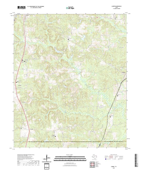 2022 Lanier2022 Print · USGSCass and Marion Counties in East Texas maintain their rural heritage in the 2020s, centered on the historic settlements of Lanier and Kildare. Genealogists and historians can trace family ties through numerous sites like Salem Cemetery and Whitaker Cemetery.
 - 2022 Map of Potters Point, 2022 Print
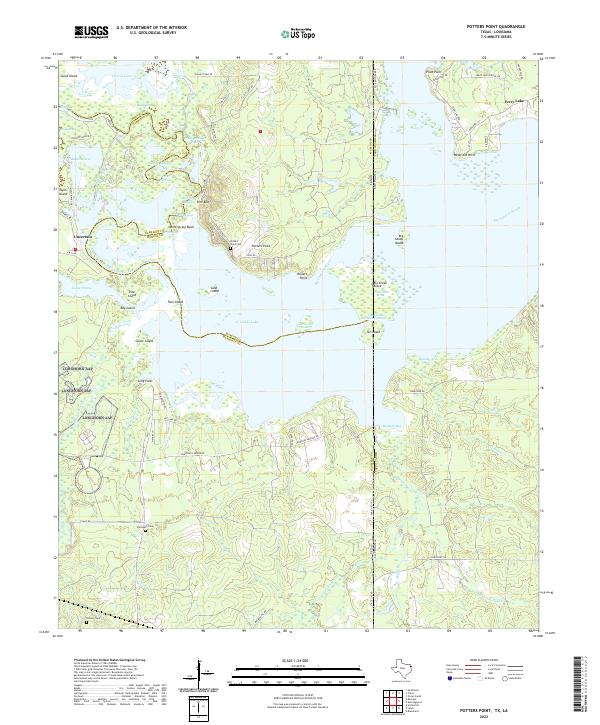 2022 Potters Point2022 Print · USGSCaddo Lake and the cypress-lined bayous of the Texas-Louisiana border appear here in remarkable detail. Genealogists and local historians can trace family locations near Uncertain, Potters Point, and the Elizabeth Cem.
 - 2024 Map of Trees, 2024 Print
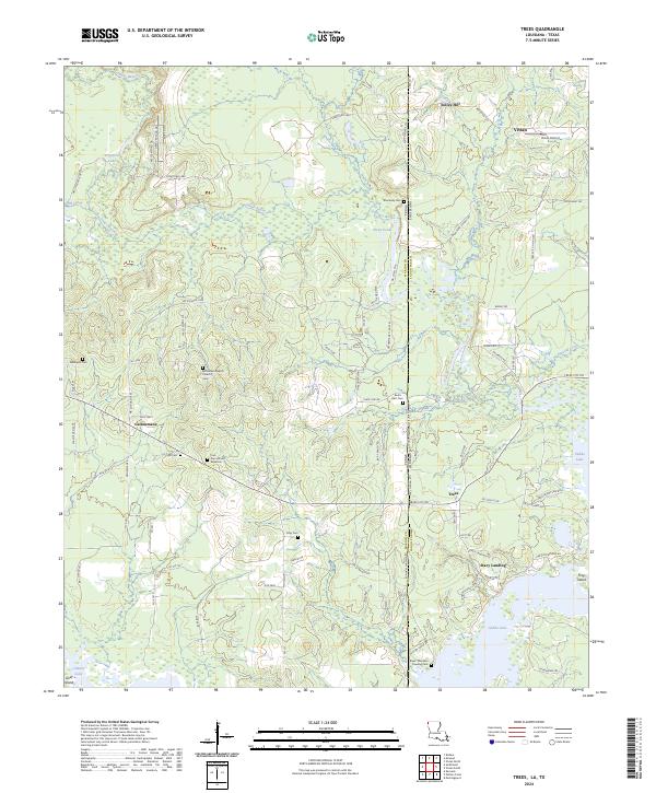 2024 Trees2024 Print · USGSThe border of Marion County, Texas and Caddo Parish, Louisiana comes alive in this contemporary survey of the bayou country. Genealogists can trace family footprints at Core Cem African American, Stacy Landing, and Bethlehem Baptist Church.
End of results
Showing maps 1-18 of 18
Top cities of Marion County
Frequently asked questions
- What are the different types of historical maps available for Marion County?
- What is the oldest map of Marion County?
- Where can I purchase historical maps of Marion County for my home or office?
- Where can I download high-res historical maps of Marion County?
- Are there historical topographic maps available for Marion County?
- Is there historical aerial imagery available for Marion County?
- Where are historical maps of Marion County sourced from?