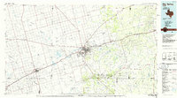
Old Maps of Dix, Martin County for Genealogy
Trace your family roots with 9 historic maps of Dix. These high-res maps reveal old neighborhoods, homesites, landmarks, and streets — helping you uncover where your ancestors lived and how the area evolved over time.
- Explore historic neighborhoods: Identify where your relatives may have lived in the 1800s or 1900s.
- Compare maps over time: Trace the changes in streets, buildings, and landmarks for multi-generational research.
- Perfect for genealogy & ancestry research: Used by family historians and researchers to map out lineage and migration.
These maps are an incredible resource for exploring your personal connection to Dix's past.
Dix, Martin County maps
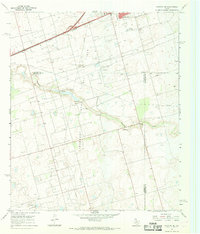
(9)- 1954 Map of Big Spring, 1965 Print
 1954 Big Spring1965 Print · USGSWest Texas in the mid-1950s shows a landscape of growing oil towns and vital rail links along the Texas and Pacific RR. Researchers can trace the development of Big Spring, find smaller settlements like Knott and Lomax, or locate landmarks such as Boyds Chapel and Signal Mountain.4 unique versions available
 - 1958 Map of Big Spring
 1958 Big Spring1958 Print · USGSThe West Texas oil boom was in full swing during the late fifties, transforming the landscape around Howard and Mitchell counties. Genealogists and historians can trace the growth of Big Spring and Snyder alongside industrial landmarks like the Kelly-Snyder Oil Field and the Santa Fe rail lines.
 - 1966 Map of Stanton SE, 1969 Print
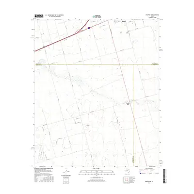
 1966 Stanton SE1969 Print · USGSThe oil fields of the Permian Basin are in full development during the mid-sixties, marking the landscape with wells and pipelines. Genealogists and historians can trace the early industrial footprint of Stanton and Dix, locating landmarks like Evergreen Cem and Mustang Draw.
 - 1986 Map of Big Spring
 1986 Big Spring1986 Print · USGSWest Texas in the mid-eighties was a landscape defined by the deep roots of the petroleum industry and the path of the railroad. You can trace the expansive Snyder Oil Field, follow the Missouri Pacific line, or locate rural centers like Coahoma and Knott.2 unique versions available
 - 2010 Map of Stanton SE, 2010 Print
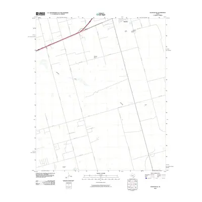 2010 Stanton SE2010 Print · USGSCovers Dix, including Stanton, Dwight, and other nearby areas
 - 2012 Map of Stanton SE, 2012 Print
 2012 Stanton SE2012 Print · USGSCovers Dix, including Stanton, Dwight, and other nearby areas
 - 2016 Map of Stanton SE, 2016 Print
 2016 Stanton SE2016 Print · USGSCovers Dix, including Stanton, Dwight, and other nearby areas
 - 2019 Map of Stanton SE, 2019 Print
 2019 Stanton SE2019 Print · USGSCovers Dix, including Stanton, Dwight, and other nearby areas
 - 2022 Map of Stanton SE, 2022 Print
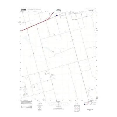
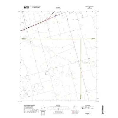
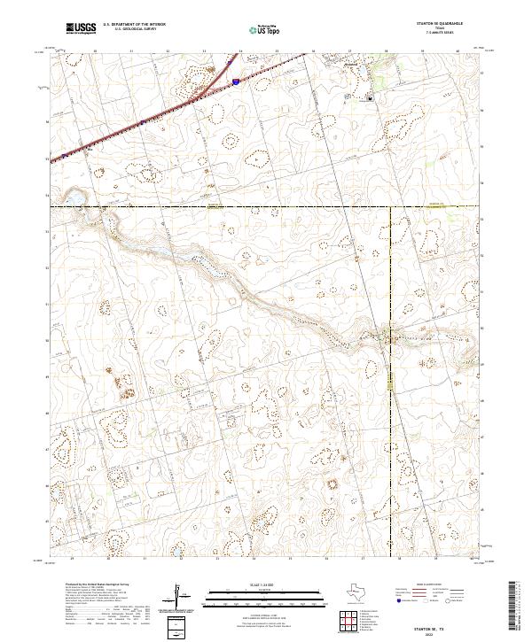 2022 Stanton SE2022 Print · USGSThe West Texas plains at the meeting point of Martin, Midland, and Glasscock counties are shown in this 2022 survey. Genealogists and historians can trace family locations near Stanton, Dix, and the Evergreen Cem while following the path of Mustang Draw.
End of results
Showing maps 1-9 of 9
Frequently asked questions
- What are the different types of historical maps available for Dix?
- What is the oldest map of Dix?
- Where can I purchase historical maps of Dix for my home or office?
- Where can I download high-res historical maps of Dix?
- Are there historical topographic maps available for Dix?
- Is there historical aerial imagery available for Dix?
- Where are historical maps of Dix sourced from?