Old Maps of Chinquapin, Texas for Academic Research
Study the evolution of Chinquapin with 10 high-resolution historic maps. Whether you're teaching, researching, or modeling changes in land use, these maps provide essential visual documentation of urban, environmental, and geographic change.
- Analyze long-term change: Track patterns in development, transportation, and natural features.
- Ideal for environmental or urban studies: Support academic projects with primary historical map data.
- Use in the classroom or lab: Educators and researchers rely on these maps to bring historical context to life.
These maps are a powerful tool for teaching, research, and visualizing how Chinquapin has changed over the decades.
Chinquapin, TX maps
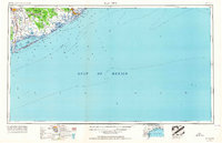
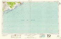
(10)- 1951 Map of Bay City
 1951 Bay City1951 Print · USGSThe mid-century Texas Gulf Coast comes to life in this survey of the delta region where the Brazos and Colorado Rivers meet the sea. Researchers can trace the industrial footprint of Freeport or locate family-named spots like Mangun and Hawkinsville.
 - 1952 Map of Lake Austin, 1953 Print
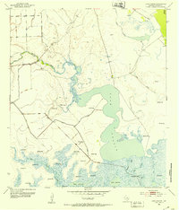 1952 Lake Austin1953 Print · USGSThe Matagorda County coast in the early fifties shows a landscape defined by hydraulic engineering and oil exploration. Trace the mid-century shoreline and wetland management through the Levee systems and numerous Flowing Wells near Lake Austin.2 unique versions available
 - 1956 Map of Bay City, 1964 Print
 1956 Bay City1964 Print · USGSThe Texas Gulf Coast comes into focus in the mid-1950s, showing the intricate bayous and coastal settlements from Bay City to Freeport. Researchers can trace the legacy of shoreline communities like Sargent, Matagorda Beach, and Hawkinsville before modern coastal changes.2 unique versions available
 - 1958 Map of Bay City
 1958 Bay City1958 Print · USGSThe Texas Gulf Coast in the late fifties shows a landscape of growing petrochemical plants and intricate wetlands. Genealogists and historians can trace the paths of the Missouri Pacific railroad through Bay City or locate old settlements like Hinkle Ferry and Hawkinsville.
 - 1974 Map of Bay City, 1978 Print
 1974 Bay City1978 Print · USGSThe Texas Gulf Coast in the mid-seventies reveals a landscape of sprawling wetlands and coastal transit hubs. Genealogists and historians can trace the rail corridors of the Missouri Pacific or locate early settlements like Wadsworth and Matagorda.
 - 2010 Map of Lake Austin, 2010 Print
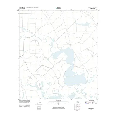 2010 Lake Austin2010 Print · USGSCovers Chinquapin, including Matagorda County, United States, and other nearby areas
 - 2013 Map of Lake Austin, 2013 Print
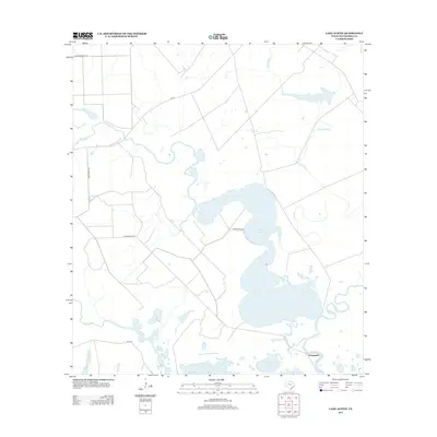 2013 Lake Austin2013 Print · USGSCovers Chinquapin, including Matagorda County, United States, and other nearby areas
 - 2016 Map of Lake Austin, 2016 Print
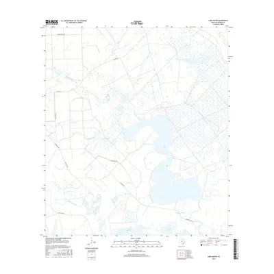 2016 Lake Austin2016 Print · USGSCovers Chinquapin, including Matagorda County, United States, and other nearby areas
 - 2019 Map of Lake Austin, 2019 Print
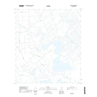 2019 Lake Austin2019 Print · USGSCovers Chinquapin, including Matagorda County, United States, and other nearby areas
 - 2022 Map of Lake Austin, 2022 Print
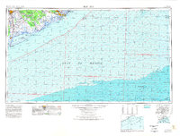
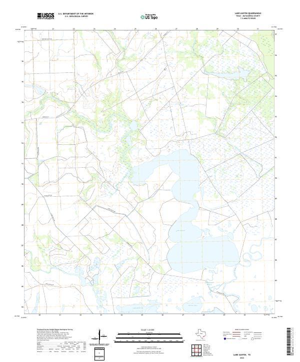 2022 Lake Austin2022 Print · USGSCoastal Matagorda County at the start of the 2020s shows a landscape dominated by the intricate wetlands and bayous of the Texas Gulf. Researchers can trace the water levels and rural road networks surrounding Lake Austin, Peyton Creek, and Pelton Lake.
End of results
Showing maps 1-10 of 10
Top cities near Chinquapin
Frequently asked questions
- What are the different types of historical maps available for Chinquapin?
- What is the oldest map of Chinquapin?
- Where can I purchase historical maps of Chinquapin for my home or office?
- Where can I download high-res historical maps of Chinquapin?
- Are there historical topographic maps available for Chinquapin?
- Is there historical aerial imagery available for Chinquapin?
- Where are historical maps of Chinquapin sourced from?