Old Maps of Doole, Texas for Metal Detecting
Plan your next treasure hunt with 12 historic maps of Doole. Find old homesites, ghost towns, trails, and gathering spots that may be lost to time — perfect for identifying promising metal detecting locations.
- Locate forgotten sites: Uncover places like long-lost settlements, abandoned rail lines, or gathering spots.
- Plan better hunts: Use map overlays combined with LiDAR or satellite views to narrow in on historically rich areas.
- Made for detectorists: Thousands of hobbyists use these maps to discover relics, coins, and hidden history.
Use these historic maps to boost your research and find new opportunities beneath the surface of Doole.
Doole, TX maps
(12)- 1892 Map of Eden
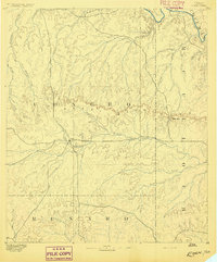 1892 Eden1892 Print · USGSCentral Texas ranching country in the late eighteen-hundreds is defined by the early development of Eden and the surrounding rangeland. Researchers can trace historic drainage and terrain features like Salt Gap, the Brady Mountains, and Kickapoo Creek.
 - 1896 Map of Eden
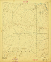 1896 Eden1896 Print · USGSWest Texas ranching country was still largely open range in the late nineteenth century. Genealogists and historians can trace early land use around Eden and follow the rugged escarpment of the Brady Mountains toward Salt Gap.4 unique versions available
 - 1924 Map of Eden 1-a
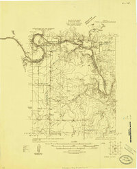 1924 Eden 1-a1924 Print · USGSThe Concho and Colorado River confluence area was a landscape of river crossings and small schoolhouse districts in the mid-1920s. Genealogists can trace early homesteads near Stacy and Doole, or locate landmarks like Bethel Church and the Hardin School.
 - 1931 Map of Stacy
 1931 Stacy1931 Print · USGSCentral Texas ranching country comes into focus during the 1920s as the river defines three county lines. Genealogists can locate rural schoolhouses like Hardin Sch and Williams Sch or trace old river fords at Crane Crossing.2 unique versions available
 - 1954 Map of Brownwood, 1955 Print
 1954 Brownwood1955 Print · USGSCentral Texas in the early fifties shows a landscape of rail-linked cattle towns and winding river valleys before modern highway expansion. Genealogists and historians can trace family-named peaks and vanished rail stops like Trickham, Santa Anna, and the Brady Mountains.3 unique versions available
 - 1967 Map of Doole, 1969 Print
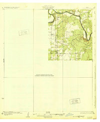
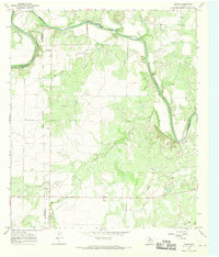 1967 Doole1969 Print · USGSCentral Texas ranching country comes into focus in the late sixties along the winding Colorado River. Local historians can trace family roots around Stacy and Doole, or locate the rural Cem and isolated landmarks like Wallooppe.
 - 1985 Map of Brady
 1985 Brady1985 Print · USGSMcCulloch and Concho counties during the mid-1980s show a landscape of small ranching communities tied together by the Atchison Topeka and Santa Fe rail line. Researchers can trace rural developments like West Sweden, Pear Valley, and the waters of the Brady Reservoir.2 unique versions available
 - 2010 Map of Doole, 2010 Print
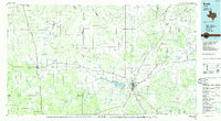
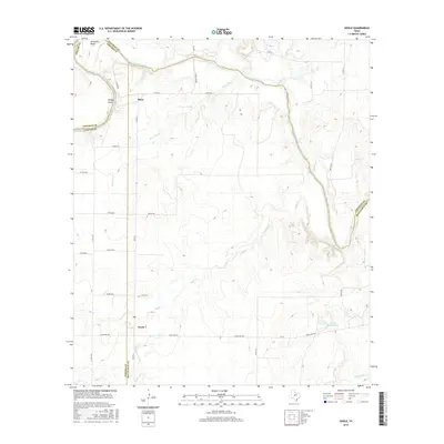
 2010 Doole2010 Print · USGSCovers Doole, including Stacy, Coleman County, and other nearby areas
 - 2013 Map of Doole, 2013 Print
 2013 Doole2013 Print · USGSCovers Doole, including Stacy, Coleman County, and other nearby areas
 - 2016 Map of Doole, 2016 Print
 2016 Doole2016 Print · USGSCovers Doole, including Stacy, Coleman County, and other nearby areas
 - 2019 Map of Doole, 2019 Print
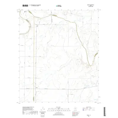 2019 Doole2019 Print · USGSCovers Doole, including Stacy, Coleman County, and other nearby areas
 - 2022 Map of Doole, 2022 Print
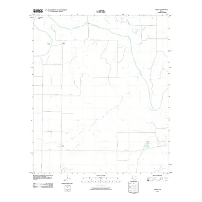
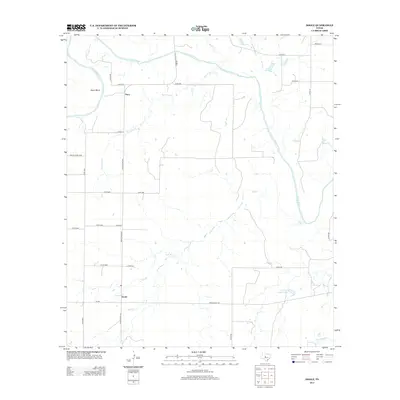
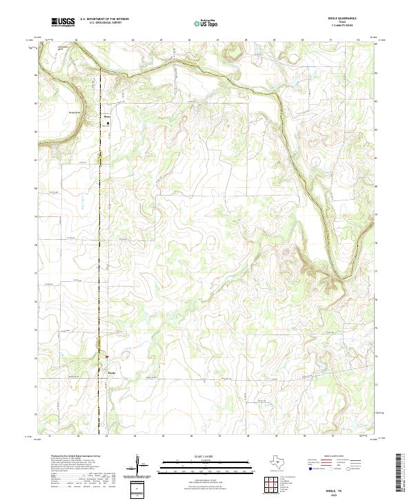 2022 Doole2022 Print · USGSMcCulloch and Concho counties meet here along the winding banks of the Colorado River in the early 2020s. Researchers can trace rural family roots through the Stacy Cem or locate landholdings near Stacy and the J L Cox Estate Lake.
End of results
Showing maps 1-12 of 12
Top cities near Doole
Frequently asked questions
- What are the different types of historical maps available for Doole?
- What is the oldest map of Doole?
- Where can I purchase historical maps of Doole for my home or office?
- Where can I download high-res historical maps of Doole?
- Are there historical topographic maps available for Doole?
- Is there historical aerial imagery available for Doole?
- Where are historical maps of Doole sourced from?