Old Maps of Calliham, Texas for Academic Research
Study the evolution of Calliham with 14 high-resolution historic maps. Whether you're teaching, researching, or modeling changes in land use, these maps provide essential visual documentation of urban, environmental, and geographic change.
- Analyze long-term change: Track patterns in development, transportation, and natural features.
- Ideal for environmental or urban studies: Support academic projects with primary historical map data.
- Use in the classroom or lab: Educators and researchers rely on these maps to bring historical context to life.
These maps are a powerful tool for teaching, research, and visualizing how Calliham has changed over the decades.
Calliham, TX maps
(14)- 1920 Map of Mikeska
 1920 Mikeska1920 Print · USGSSouth Texas ranching country comes to life in this post-World War I tactical survey of the Live Oak County area. Genealogists and historians can trace family landholdings from OAKVILLE to George West, locating ancestral landmarks like Simmons City, Mikeska, and the O'Connor Ranch.
 - 1925 Map of Simmons No. 1
 1925 Simmons No. 11925 Print · USGSThe South Texas ranching country of Live Oak and McMullen counties comes into focus during the mid-twenties. Genealogists and researchers can trace the routes of Rocky Reagan Road and find early locations for Calliham and Simmons.
 - 1929 Map of Simmons
 1929 Simmons1929 Print · USGSSouth Texas ranching and river country are captured here in the late 1920s, showing the early road networks and small outposts. Researchers can trace family sites near Wentz, the isolated Brice Sch, and the old George West Road.2 unique versions available
 - 1953 Map of Crystal City
 1953 Crystal City1953 Print · USGSSouth Texas in the early fifties was a landscape of expanding oil fields and vital rail connections. Genealogists and researchers can trace family lands along the Nueces River or locate heritage sites in Asherton, Big Wells, and Batesville.
 - 1955 Map of Crystal City, 1976 Print
 1955 Crystal City1976 Print · USGSSouth Texas ranching and oil country come into focus in the mid-fifties as the rail lines and rivers connect growing hubs. Researchers can trace the development of energy fields like Washburn Oil Field or locate historic settlements from Asherton to Three Rivers.
 - 1961 Map of Crystal City
 1961 Crystal City1961 Print · USGSSouth Texas in the early sixties reveals a landscape of massive cattle ranches and emerging oil fields. Genealogists and historians can trace the Missouri Pacific rail lines through Crystal City, or locate water features like Espantosa Lake and Boynton Reservoir.
 - 1967 Map of Calliham, 1970 Print
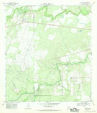 1967 Calliham1970 Print · USGSSettled between the forks of the Frio and Nueces Rivers in the late sixties, this McMullen and Live Oak county borderland reflects a rugged era of ranching and oil production. Trace family landmarks and industry sites from the Cem and Calliham townsite to the Ezzel Ranch Oil Field.2 unique versions available
 - 1968 Map of Crystal City
 1968 Crystal City1968 Print · USGSSouth Texas in the late sixties reveals a landscape shaped by ranching roots and the vital waters of the Nueces River. Researchers can trace the rail-driven growth of Crystal City or locate landmarks like Pilot Knob and Espantosa Lake.
 - 1985 Map of George West
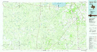 1985 George West1985 Print · USGSThe Brush Country of South Texas was undergoing major changes in the 1980s as the Choke Canyon Reservoir took shape. Researchers can trace the sprawling Clay West Oil Field, the Missouri Pacific rail line, and older communities like Oakville and Fowlerton.2 unique versions available
 - 2010 Map of Calliham, 2010 Print
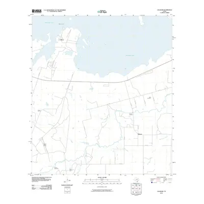 2010 Calliham2010 Print · USGSThe Nueces River valley in Live Oak County is captured here at a time when ranching and energy extraction defined the local economy. Genealogists and researchers can locate Simmons Cemetery and trace the proximity of Calliham to the Callham Oil Field.
 - 2013 Map of Calliham, 2013 Print
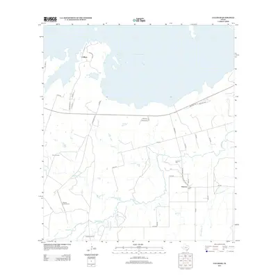 2013 Calliham2013 Print · USGSLive Oak County's ranching and oil country comes into focus in this early twenty-first-century survey. Genealogists and researchers can trace the vicinity of Simmons via Latham Cem or locate the Claunch Oil Field and Paisano Ranch Airport.
 - 2016 Map of Calliham, 2016 Print
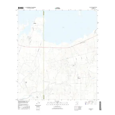 2016 Calliham2016 Print · USGSThe South Texas ranching landscape of Live Oak and McMullen Counties is documented here in the mid-2010s. Researchers can locate family burial sites at Simmons Cem and Latham Cem or trace the drainage of the Nueces River near Simmons.
 - 2019 Map of Calliham, 2019 Print
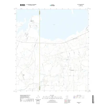 2019 Calliham2019 Print · USGSThe McMullen and Live Oak county line comes alive in this contemporary survey of the South Texas brush country. Genealogists and historians can trace family roots at Simmons Cem and Latham Cem, or explore the riparian landscape along the Nueces River and Yarbrough Lake.
 - 2022 Map of Calliham, 2022 Print
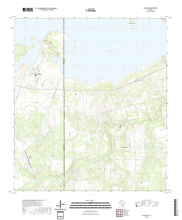 2022 Calliham2022 Print · USGSThe confluence of the Nueces and Frio Rivers in Live Oak County is captured here in the era of the reservoir. Researchers can locate the settlements of Calliham and Simmons, along with the Calliham Cem and the Paisano Ranch Airport.
End of results
Showing maps 1-14 of 14
Top cities near Calliham
Frequently asked questions
- What are the different types of historical maps available for Calliham?
- What is the oldest map of Calliham?
- Where can I purchase historical maps of Calliham for my home or office?
- Where can I download high-res historical maps of Calliham?
- Are there historical topographic maps available for Calliham?
- Is there historical aerial imagery available for Calliham?
- Where are historical maps of Calliham sourced from?