Old Maps of Hondo, Texas for Academic Research
Study the evolution of Hondo with 17 high-resolution historic maps. Whether you're teaching, researching, or modeling changes in land use, these maps provide essential visual documentation of urban, environmental, and geographic change.
- Analyze long-term change: Track patterns in development, transportation, and natural features.
- Ideal for environmental or urban studies: Support academic projects with primary historical map data.
- Use in the classroom or lab: Educators and researchers rely on these maps to bring historical context to life.
These maps are a powerful tool for teaching, research, and visualizing how Hondo has changed over the decades.
Hondo, TX maps
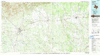
(17)- 1954 Map of San Antonio, 1964 Print
 1954 San Antonio1964 Print · USGSSan Antonio and the Texas Hill Country are captured here in the mid-fifties, showing a landscape defined by massive military air bases and the rising Canyon Reservoir. Trace family ties through historic rail towns like D'Hanis and Castroville or explore the Cold War footprint of Lackland AFB and Randolph AFB.3 unique versions available
 - 1956 Map of New Fountain
 1956 New Fountain1956 Print · USGSMedina County comes into focus during the war years, showing a landscape defined by ranching and military training. Genealogy researchers can trace family lines through labeled homesteads like HJ Meyers and Lee Batot, or locate the Hondo Navigation School and Blue Waterhole.
 - 1957 Map of San Antonio
 1957 San Antonio1957 Print · USGSSan Antonio and the Texas Hill Country are shown here during the mid-fifties, capturing the region's expanding post-war military and transportation footprint. Genealogists and local historians can trace the early residential boundaries of Alamo Heights or locate rural landmarks like St Hedwig and Medina Lake.
 - 1970 Map of Murphy School, 1973 Print
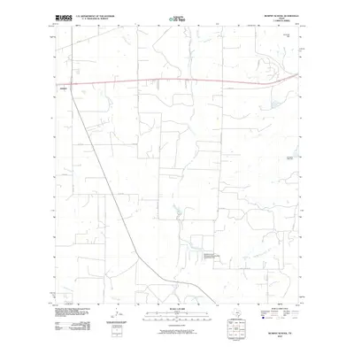
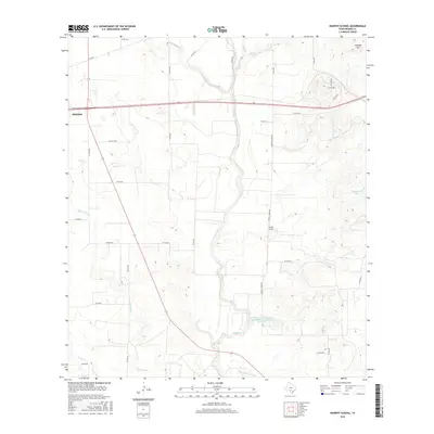
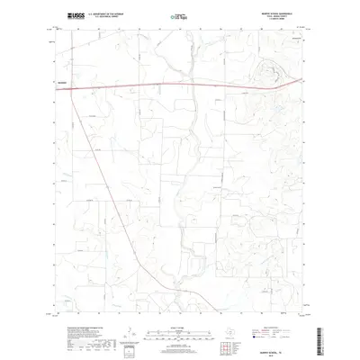
 1970 Murphy School1973 Print · USGSMedina County rural life in the late sixties is centered on the drainage of Hondo Creek and the Southern Pacific line. Genealogists and historians can locate the Murphy Sch, a local Cem, and numerous Oil Wells across the landscape.2 unique versions available
 - 1970 Map of Hondo, 1973 Print
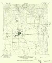
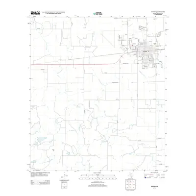
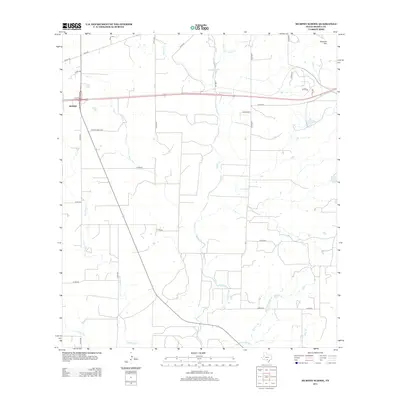
 1970 Hondo1973 Print · USGSHondo sits at a crossroads of rail and air travel in the early 1970s, as the community expanded around the Southern Pacific tracks. Researchers can trace local lineage through St John Sch and Cottonwood Cem, or locate the historic Municipal Airport.2 unique versions available
 - 1985 Map of Uvalde
 1985 Uvalde1985 Print · USGSUvalde and the surrounding river valleys are captured here in the mid-eighties as a busy crossroads of rail and ranching. Genealogists can locate family sites near Frio Town or trace the Southern Pacific line through Knippa and Sabinal.
 - 1992 Map of Uvalde
 1992 Uvalde1992 Print · USGSThe Uvalde and Hondo corridors in the early nineties show a region where the Southern Pacific rail line met a complex network of river valleys. You can trace established family-named landmarks and infrastructure from the Taylor Ina Oil Field to the Uvalde National Fish Hatchery and Garner State Park.
 - 2010 Map of Hondo, 2010 Print
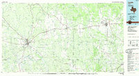
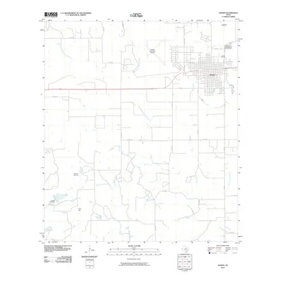 2010 Hondo2010 Print · USGSCovers Hondo, including Medina County, United States, and other nearby areas
 - 2010 Map of Murphy School, 2010 Print
 2010 Murphy School2010 Print · USGSCovers Hondo, including Medina County, United States, and other nearby areas
 - 2012 Map of Hondo, 2012 Print
 2012 Hondo2012 Print · USGSCovers Hondo, including Medina County, United States, and other nearby areas
 - 2013 Map of Murphy School, 2013 Print
 2013 Murphy School2013 Print · USGSCovers Hondo, including Medina County, United States, and other nearby areas
 - 2016 Map of Murphy School, 2016 Print
 2016 Murphy School2016 Print · USGSCovers Hondo, including Medina County, United States, and other nearby areas
 - 2016 Map of Hondo, 2016 Print
 2016 Hondo2016 Print · USGSCovers Hondo, including Medina County, United States, and other nearby areas
 - 2019 Map of Hondo, 2019 Print
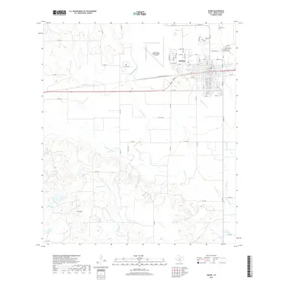 2019 Hondo2019 Print · USGSCovers Hondo, including Medina County, United States, and other nearby areas
 - 2019 Map of Murphy School, 2019 Print
 2019 Murphy School2019 Print · USGSCovers Hondo, including Medina County, United States, and other nearby areas
 - 2022 Map of Hondo, 2022 Print
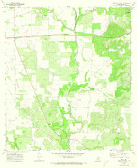
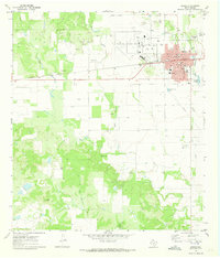
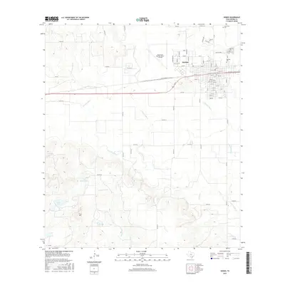
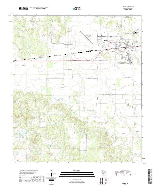 2022 Hondo2022 Print · USGSHondo and its surrounding Medina County ranchlands are documented here in the early twenty-first century. Researchers can trace local heritage at the Medina County Courthouse or locate family sites at Ingleside Cem and New Fountain.
 - 2022 Map of Murphy School, 2022 Print
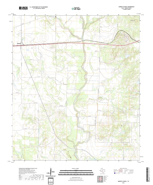 2022 Murphy School2022 Print · USGSMedina County's agricultural heartland is documented here in the early twenty-first century, showing the rural road networks east of the county seat. Genealogists and local historians can trace family land via Masonic Springs Cem, Schmidt Hill, and the winding path of Hog Wallow Slough.
End of results
Showing maps 1-17 of 17
Top cities near Hondo
Frequently asked questions
- What are the different types of historical maps available for Hondo?
- What is the oldest map of Hondo?
- Where can I purchase historical maps of Hondo for my home or office?
- Where can I download high-res historical maps of Hondo?
- Are there historical topographic maps available for Hondo?
- Is there historical aerial imagery available for Hondo?
- Where are historical maps of Hondo sourced from?