2000s (21st Century) Maps of Buckholts, Texas
Explore 20 historic maps of Buckholts from the 2000s (21st Century). These maps offer a rare glimpse into what life looked like during the 2000s — showing old roads, neighborhoods, homes, and landmarks that have changed or disappeared over time.
Whether you're researching your family's past, planning a metal detecting trip, or studying how Buckholts's landscape evolved across the 2000s, these high-resolution maps are a powerful tool for exploring the history of this region.
- Focus on a specific era: All maps on this page are from the 2000s, giving you a focused view of this time period.
- See what’s changed: Compare century-old streets, trails, and buildings to today's modern landscape using overlays and satellite layers.
- Research with precision: Use these maps for genealogy, historical research, land use analysis, or educational projects.
- View, download, or print: Maps are fully viewable online in high resolution, and can be downloaded or printed for your own records.
Start exploring Buckholts's history through authentic maps from the 2000s. This is your window into the past.
Buckholts, TX maps
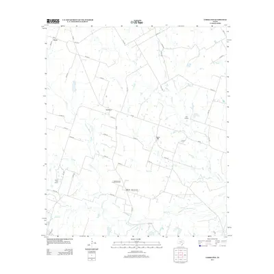
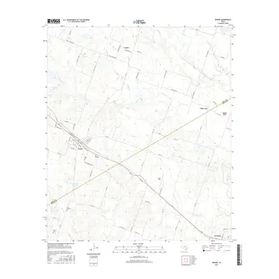
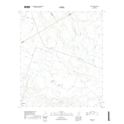
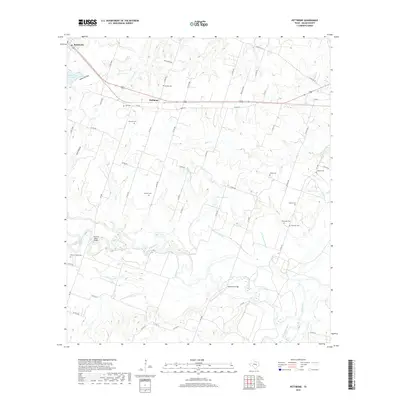
(20)- 2010 Map of Pettibone, 2010 Print
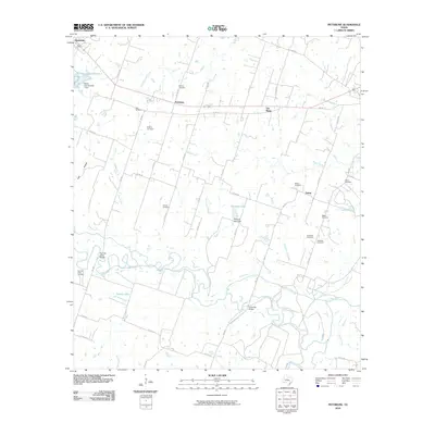 2010 Pettibone2010 Print · USGSCovers Buckholts, including Cameron, Salem, and other nearby areas
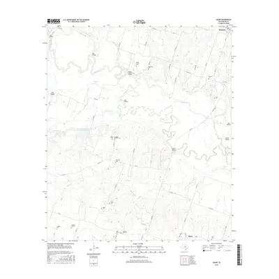
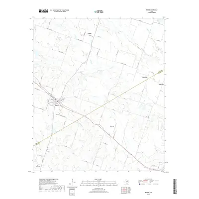
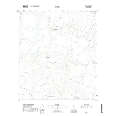
 - 2010 Map of Sharp, 2010 Print
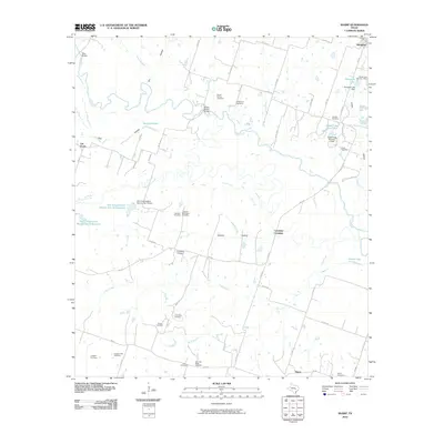 2010 Sharp2010 Print · USGSCovers Buckholts, including Val Verde, Cummins Crossing, and other nearby areas
 - 2010 Map of Yarrelton, 2010 Print
 2010 Yarrelton2010 Print · USGSCovers Buckholts, including Marak, North Elm, and other nearby areas
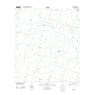
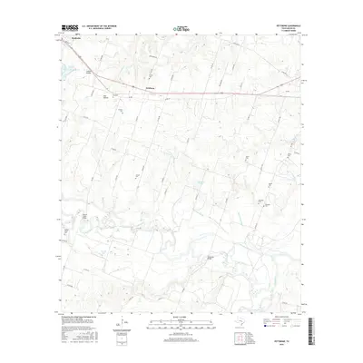
 - 2010 Map of Rogers, 2010 Print
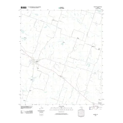 2010 Rogers2010 Print · USGSCovers Buckholts, including Rogers, South Elm, and other nearby areas
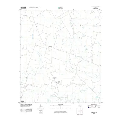
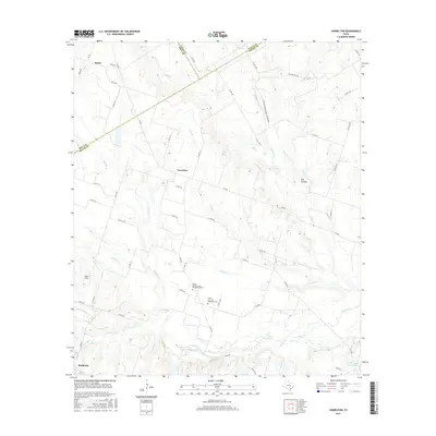
 - 2013 Map of Yarrelton, 2013 Print
 2013 Yarrelton2013 Print · USGSCovers Buckholts, including Marak, North Elm, and other nearby areas
 - 2013 Map of Sharp, 2013 Print
 2013 Sharp2013 Print · USGSCovers Buckholts, including Val Verde, Cummins Crossing, and other nearby areas
 - 2013 Map of Rogers, 2013 Print
 2013 Rogers2013 Print · USGSCovers Buckholts, including Rogers, South Elm, and other nearby areas
 - 2013 Map of Pettibone, 2013 Print
 2013 Pettibone2013 Print · USGSCovers Buckholts, including Cameron, Salem, and other nearby areas
 - 2016 Map of Rogers, 2016 Print
 2016 Rogers2016 Print · USGSCovers Buckholts, including Rogers, South Elm, and other nearby areas
 - 2016 Map of Yarrelton, 2016 Print
 2016 Yarrelton2016 Print · USGSCovers Buckholts, including Marak, North Elm, and other nearby areas
 - 2016 Map of Sharp, 2016 Print
 2016 Sharp2016 Print · USGSCovers Buckholts, including Val Verde, Cummins Crossing, and other nearby areas
 - 2016 Map of Pettibone, 2016 Print
 2016 Pettibone2016 Print · USGSCovers Buckholts, including Cameron, Salem, and other nearby areas
 - 2019 Map of Yarrelton, 2019 Print
 2019 Yarrelton2019 Print · USGSCovers Buckholts, including Marak, North Elm, and other nearby areas
 - 2019 Map of Pettibone, 2019 Print
 2019 Pettibone2019 Print · USGSCovers Buckholts, including Cameron, Salem, and other nearby areas
 - 2019 Map of Rogers, 2019 Print
 2019 Rogers2019 Print · USGSCovers Buckholts, including Rogers, South Elm, and other nearby areas
 - 2019 Map of Sharp, 2019 Print
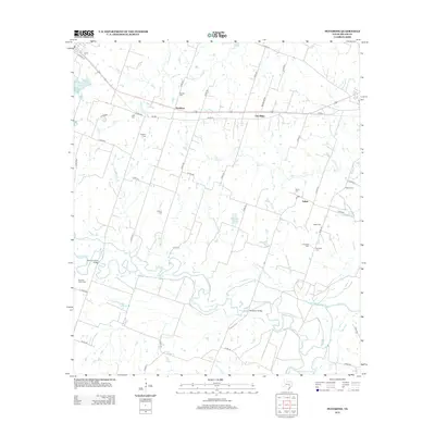
 2019 Sharp2019 Print · USGSCovers Buckholts, including Val Verde, Cummins Crossing, and other nearby areas
 - 2022 Map of Pettibone, 2022 Print
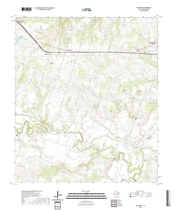 2022 Pettibone2022 Print · USGSMilam County in the 2020s remains a landscape of river bottomlands and legacy family settlements. Genealogists can locate several historic burial sites, including Salem - Wilson Cem, Holtzclaw Cem, and Dockery Cem near the Little River.
 - 2022 Map of Yarrelton, 2022 Print
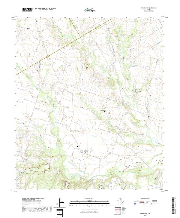 2022 Yarrelton2022 Print · USGSThe rural expanse between Yarrelton and Buckholts comes into focus during this early twenty-first-century survey of the Milam County countryside. Genealogists can trace family heritage through local landmarks like Saints Cyril and Methodius Church Cem and the North Elm Cem.
 - 2022 Map of Rogers, 2022 Print
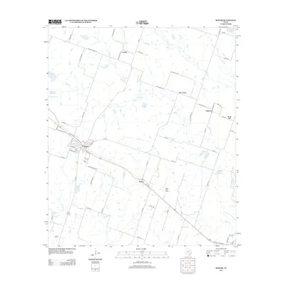
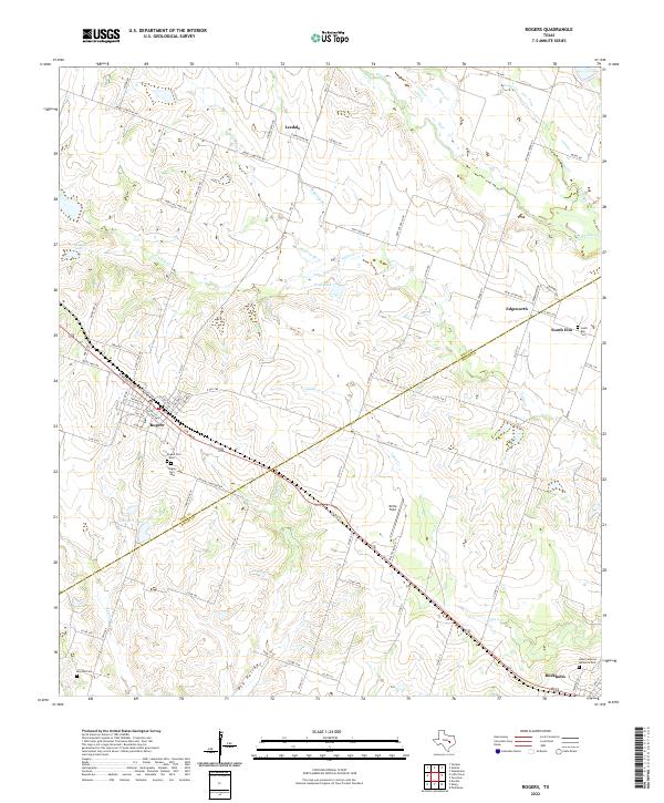 2022 Rogers2022 Print · USGSRogers and Buckholts anchor this 2022 survey of the Bell and Milam county line during a period of steady rural continuity. Genealogists can locate family sites at Rogers Cem West, South Elm Cem, and Hope Lutheran Memorial Park.
 - 2022 Map of Sharp, 2022 Print
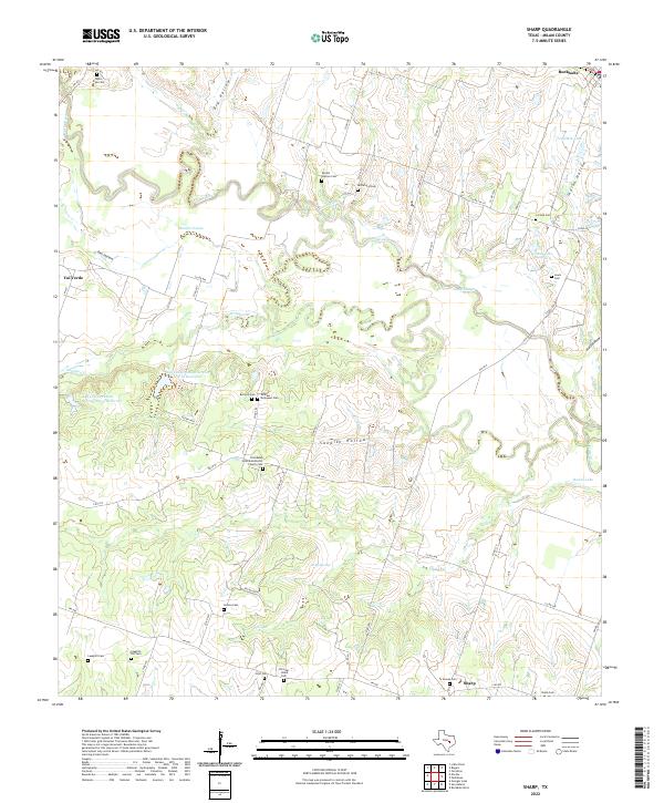 2022 Sharp2022 Print · USGSMilam County in the modern era maintains its quiet agricultural character along the winding Little River. Researchers can trace deep family roots through numerous burial grounds like Bryant Station Cem, Dotson Cem, and Lilac Cem.
End of results
Showing maps 1-20 of 20
Top cities near Buckholts
- Temple historical maps
- Rockdale historical maps
- Cameron historical maps
- Little River-Academy historical maps
- Rosebud historical maps
- Rogers historical maps
Frequently asked questions
- What are the different types of historical maps available for Buckholts?
- What is the oldest map of Buckholts?
- Where can I purchase historical maps of Buckholts for my home or office?
- Where can I download high-res historical maps of Buckholts?
- Are there historical topographic maps available for Buckholts?
- Is there historical aerial imagery available for Buckholts?
- Where are historical maps of Buckholts sourced from?