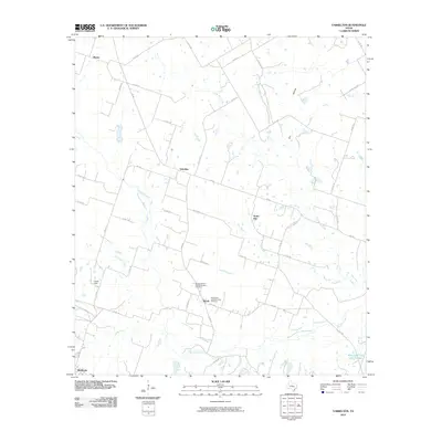
2010 Map of Yarrelton
USGS Topo · Published 2010About this map
Marak Catholic and Methodius Cemetery and the adjacent Saints Cyril and Methodius Cemetery anchor the community of Marak, reflecting the cultural heritage of this rural Milam County landscape. The topography is defined by the dendritic drainage of Big Elm Creek and its many tributaries, including South Elm Creek, Cow Creek, and McFall Branch. These waterways carve through the agricultural tablelands between the small settlements of Yarrelton and North Elm.
Find a feature on this map
46 named features on this map. Tap any name to fly to it.
Don’t see what you’re looking for? This feature index may not catch every label — zoom into the map to look around manually.
Map Details
Editions of this 2010 Yarrelton Map
This is the sole edition of this map. No revisions or reprints were ever made.
Other maps of this area

1885 · Taylor
USGS Topo · 1:125,000

1887 · Taylor
USGS Topo · 1:125,000

1892 · Temple
USGS Topo · 1:125,000

1894 · Taylor
USGS Topo · 1:125,000

1910 · Buckholts
USGS Topo · 1:24,000

1912 · Buckholts
USGS Topo · 1:31,680

1954 · Waco
USGS Topo · 1:250,000

1954 · Austin
USGS Topo · 1:250,000

1955 · Waco
USGS Topo · 1:250,000

1961 · Cameron
USGS Topo · 1:24,000