
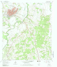
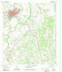
1961 Map of Cameron
USGS Topo · Published 1964About this map
Cameron serves as a busy hub of civic and industrial activity in the early 1960s, defined by its intersection of the Gulf Colorado and Santa Fe railroad and a landscape shaped by the Little River. The town grid shows a dense concentration of educational and community landmarks, including Yoe High Sch, Ben Milam Sch, and the unique Mexican Fiesta Ground near the riverbanks. To the southwest, the Houston Oklahoma Oil Field and scattered Oil Well symbols indicate the region's energy production, while numerous family and community burial grounds like Burnham-McCowen Cem and Story Cem suggest long-established rural lineages.
Find a feature on this map
48 named features on this map. Tap any name to fly to it.
Don’t see what you’re looking for? This feature index may not catch every label — zoom into the map to look around manually.
Map Details
Editions of this 1961 Cameron Map
3 editions found
Other maps of this area

1885 · Taylor
USGS Topo · 1:125,000

1887 · Taylor
USGS Topo · 1:125,000

1894 · Taylor
USGS Topo · 1:125,000

1954 · Austin
USGS Topo · 1:250,000

1956 · Milano
USGS Topo · 1:62,500

1961 · Hanover
USGS Topo · 1:24,000

1961 · Rockdale East
USGS Topo · 1:24,000

1962 · Rockdale West
USGS Topo · 1:24,000
1962 · Pettibone
USGS Topo · 1:24,000

1962 · Maysfield
USGS Topo · 1:24,000