
1961 Map of Rockdale East
USGS Topo · Published 1964About this map
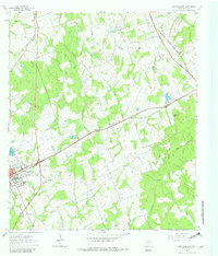
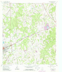
Rockdale serves as the primary hub on this Milam County survey, located at the crossing of the Missouri Pacific and Gulf Colorado and Santa Fe railroads. The town's institutional history is anchored by the Aycock Sch and a concentration of burial grounds including Oaklawn Cem and Riddle Cem. The surrounding landscape is defined by the divides between Sandy Creek and Mustang Creek, with rural life centered around community landmarks like Sandy Creek Ch and Griffin Ch. To the northeast, the terrain rises toward Taylor Mountain and Hart Mtn, where resource extraction is evident at a local Quarry and various mines. The presence of the M and M Minnow Farm and the Rockdale Airfield illustrates the diverse land use in the early 1960s, balancing traditional agriculture and mining with modern infrastructure and specialized local commerce.
Find a feature on this map
29 named features on this map. Tap any name to fly to it.
Don’t see what you’re looking for? This feature index may not catch every label — zoom into the map to look around manually.
Map Details
Editions of this 1961 Rockdale East Map
3 editions found
Other maps of this area

1885 · Taylor
USGS Topo · 1:125,000

1887 · Taylor
USGS Topo · 1:125,000

1894 · Taylor
USGS Topo · 1:125,000

1954 · Austin
USGS Topo · 1:250,000

1956 · Milano
USGS Topo · 1:62,500

1961 · Hanover
USGS Topo · 1:24,000

1961 · Cameron
USGS Topo · 1:24,000

1962 · Rockdale West
USGS Topo · 1:24,000
1962 · Pettibone
USGS Topo · 1:24,000
1962 · Chriesman
USGS Topo · 1:24,000