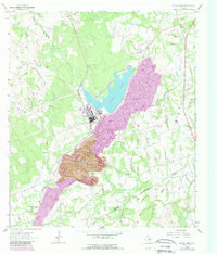
1963 Map of Alcoa Lake
USGS Topo · Published 1989About this map
The industrial landscape of Sandow and Pleasant Hill dominates this 1963 survey, where a massive Strip Mine and its long Conveyor track demonstrate the scale of local extraction. At the heart of this activity is Alcoa Lake, supported by an Aqueduct and serving a central Power Plant and nearby Substa. This artificial reservoir is set against the natural drainage of East Yegua Creek and Walleye Creek, marking a significant alteration of the Milam County terrain for power production.
Find a feature on this map
29 named features on this map. Tap any name to fly to it.
Don’t see what you’re looking for? This feature index may not catch every label — zoom into the map to look around manually.
Map Details
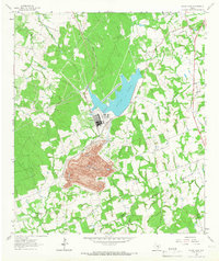
Editions of this 1963 Alcoa Lake Map
2 editions found
Other maps of this area

1885 · Taylor
USGS Topo · 1:125,000

1885 · Bastrop
USGS Topo · 1:125,000

1887 · Taylor
USGS Topo · 1:125,000

1893 · Bastrop
USGS Topo · 1:125,000

1894 · Taylor
USGS Topo · 1:125,000

1904 · Bastrop
USGS Topo · 1:125,000

1919 · Dime Box
USGS Topo · 1:62,500

1948 · Lexington
USGS Topo · 1:62,500

1950 · Lexington
USGS Topo · 1:62,500

1954 · Austin
USGS Topo · 1:250,000