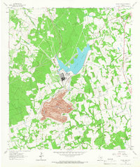
1963 Map of Alcoa Lake
USGS Topo · Published 1966About this map
Industrial transformation dominates the landscape on the border of Milam Co Lee Co during the mid-1960s. At the center of the sheet, the massive Strip Mine and nearby Power Plant at Alcoa signify the region's mid-century economic engine. The creation of Alcoa Lake, supported by a Settling Basin, stands in contrast to the natural winding course of East Yegua Creek and Dry Brushy Creek.
Find a feature on this map
25 named features on this map. Tap any name to fly to it.
Don’t see what you’re looking for? This feature index may not catch every label — zoom into the map to look around manually.
Map Details
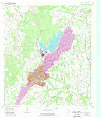
Editions of this 1963 Alcoa Lake Map
2 editions found
Other maps of this area

1885 · Taylor
USGS Topo · 1:125,000

1885 · Bastrop
USGS Topo · 1:125,000

1887 · Taylor
USGS Topo · 1:125,000

1893 · Bastrop
USGS Topo · 1:125,000

1894 · Taylor
USGS Topo · 1:125,000

1904 · Bastrop
USGS Topo · 1:125,000

1919 · Dime Box
USGS Topo · 1:62,500

1948 · Lexington
USGS Topo · 1:62,500

1950 · Lexington
USGS Topo · 1:62,500

1954 · Austin
USGS Topo · 1:250,000