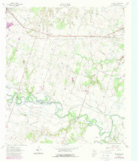
1962 Map of Pettibone
USGS Topo · Published 1989About this map
The Little River and San Gabriel River converge in this central Texas landscape, creating a complex network of wetlands and oxbows including Ackerman Slough and Wolf Spring Slough. The agricultural character of the era is defined by the Gulf Colorado and Santa Fe railroad, which cuts a straight line across the northern half of the territory, serving the namesake community of Pettibone.
Find a feature on this map
33 named features on this map. Tap any name to fly to it.
Don’t see what you’re looking for? This feature index may not catch every label — zoom into the map to look around manually.
Map Details
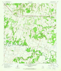
Editions of this 1962 Pettibone Map
2 editions found
Other maps of this area

1885 · Taylor
USGS Topo · 1:125,000

1887 · Taylor
USGS Topo · 1:125,000

1894 · Taylor
USGS Topo · 1:125,000

1910 · Buckholts
USGS Topo · 1:24,000

1912 · Buckholts
USGS Topo · 1:31,680

1954 · Austin
USGS Topo · 1:250,000

1956 · Milano
USGS Topo · 1:62,500

1961 · Cameron
USGS Topo · 1:24,000

1961 · Rockdale East
USGS Topo · 1:24,000

1962 · Rockdale West
USGS Topo · 1:24,000