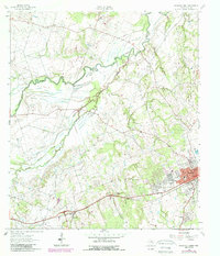
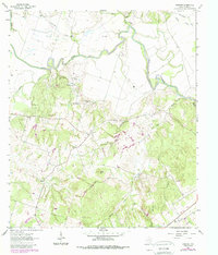
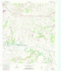
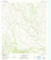
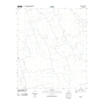
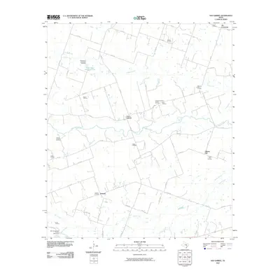
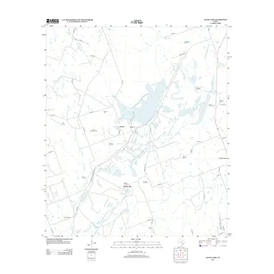
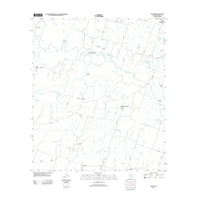
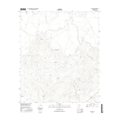
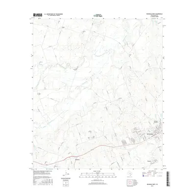
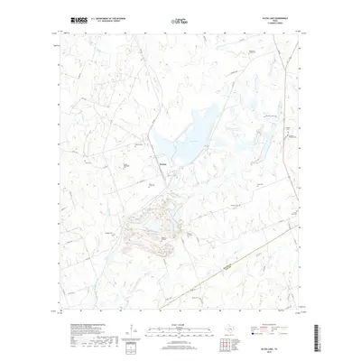
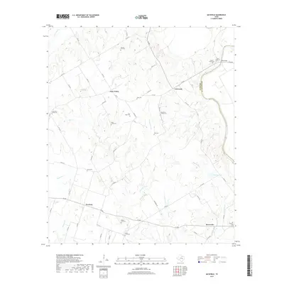
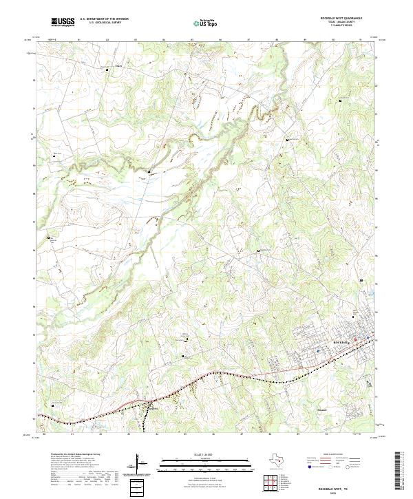
1962 Map of Rockdale West
USGS Topo · Published 1989About this map
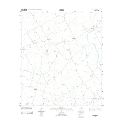
The San Gabriel River meanders across this landscape in Milam County, defining a region where river bottomlands meet established rail corridors. In the early 1960s, the western edge of Rockdale shows a mix of residential growth and industry, featuring a Drive-in Theater, a Trailer Park, and the Meadow Brook development. The presence of the Missouri Pacific railroad and an Old Railroad Grade further north reflects the area's long-standing reliance on rail transport for moving agricultural and industrial goods. Scattered across the rural reaches are numerous markers of early settlement history, including the St Johns Ch and a high concentration of family and community burial grounds such as Hickory Grove Cem and San Andres Cem. Further south, the map details small rail-side communities like Marjorie and Praesel, as well as unique local landmarks such as the M and M Minnow Farm.
Find a feature on this map
31 named features on this map. Tap any name to fly to it.
Don’t see what you’re looking for? This feature index may not catch every label — zoom into the map to look around manually.
Map Details
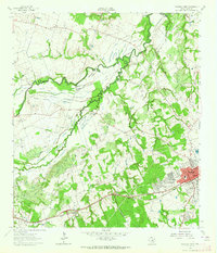
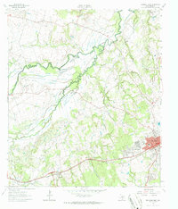
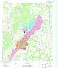
Editions of this 1962 Rockdale West Map
3 editions found
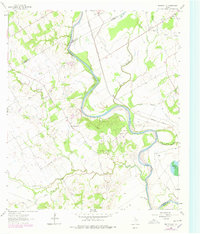
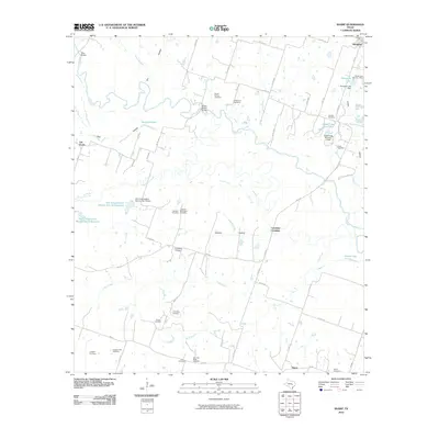
Historical Maps of Rockdale Through Time
66 maps found
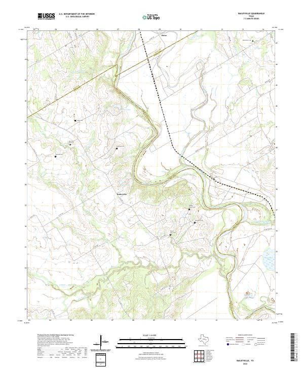
1961 Baileyville
Milam County, TX
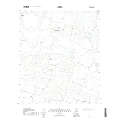
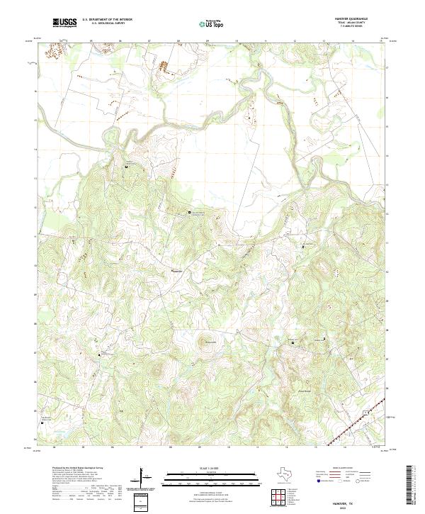
1961 Hanover
Milam County, TX
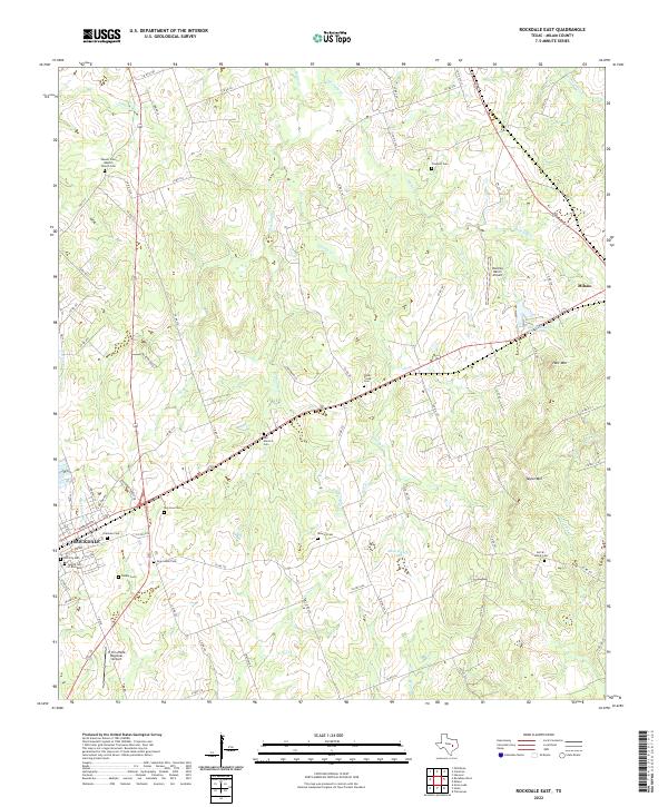
1961 Rockdale East
Milam County, TX
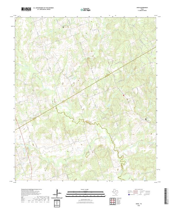
1962 Hicks
Milam County, TX
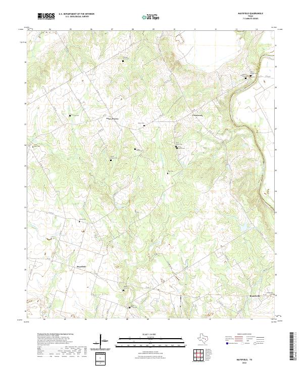
1962 Maysfield
Milam County, TX
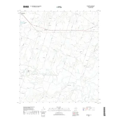
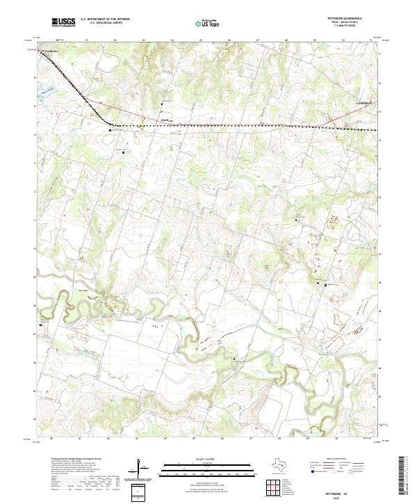
1962 Pettibone
Milam County, TX
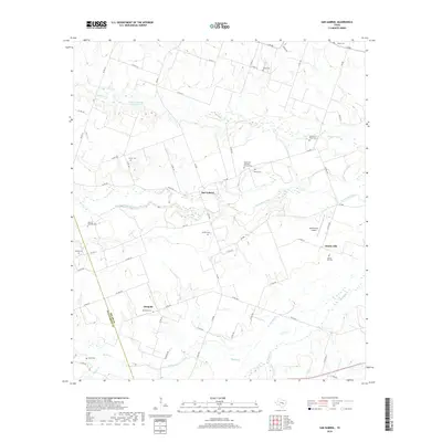
1962 Rockdale West
Milam County, TX
1963 Alcoa Lake
Milam County, TX
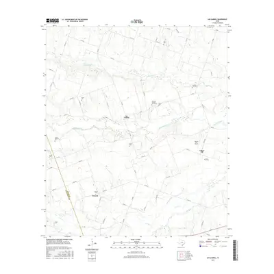
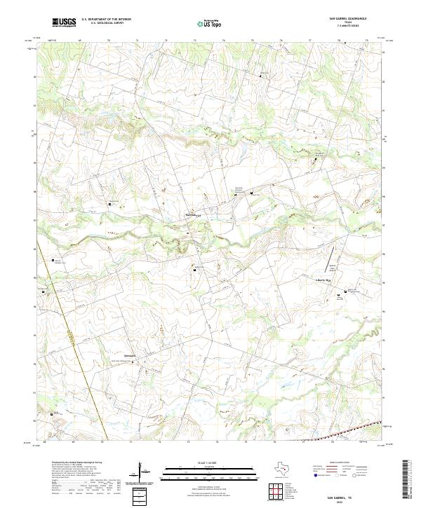
1963 San Gabriel
Milam County, TX
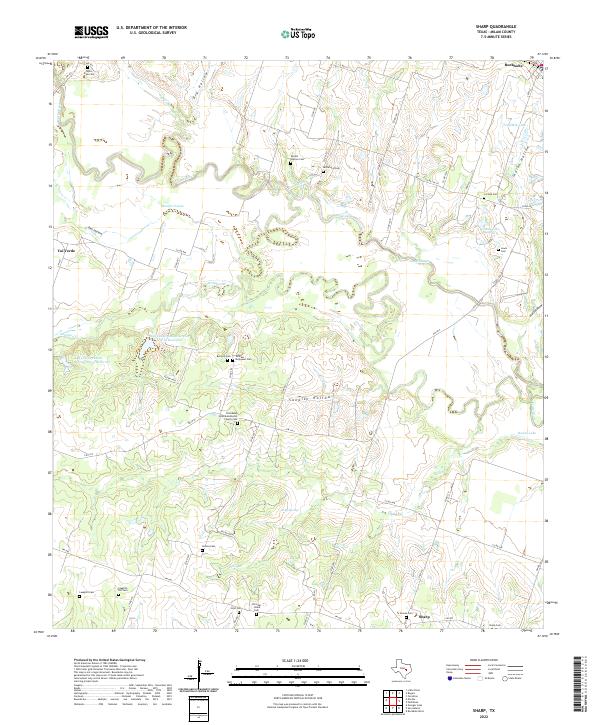
1963 Sharp
Milam County, TX
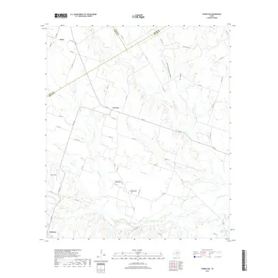
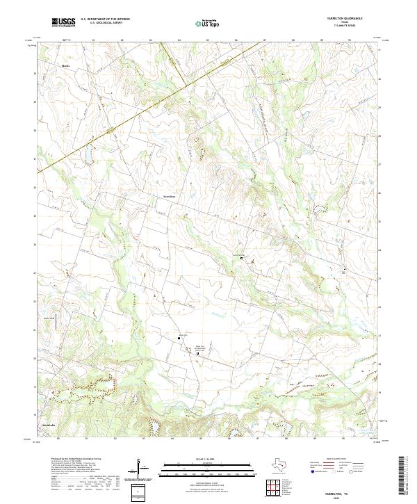
1963 Yarrelton
Milam County, TX
2010 Alcoa Lake
Milam County, TX
2010 Baileyville
Milam County, TX
2010 Hanover
Milam County, TX
2010 Hicks
Milam County, TX
2010 Maysfield
Milam County, TX
2010 Pettibone
Milam County, TX

2010 Rockdale East
Milam County, TX
2010 Rockdale West
Milam County, TX
2010 San Gabriel
Milam County, TX
2010 Sharp
Milam County, TX
2010 Yarrelton
Milam County, TX
2012 San Gabriel
Milam County, TX
2013 Alcoa Lake
Milam County, TX
2013 Baileyville
Milam County, TX
2013 Hanover
Milam County, TX
2013 Hicks
Milam County, TX
2013 Maysfield
Milam County, TX
2013 Pettibone
Milam County, TX
2013 Rockdale East
Milam County, TX
2013 Rockdale West
Milam County, TX
2013 Sharp
Milam County, TX
2013 Yarrelton
Milam County, TX
2016 Alcoa Lake
Milam County, TX
2016 Baileyville
Milam County, TX
2016 Hanover
Milam County, TX

2016 Hicks
Milam County, TX
2016 Maysfield
Milam County, TX
2016 Pettibone
Milam County, TX
2016 Rockdale East
Milam County, TX
2016 Rockdale West
Milam County, TX
2016 San Gabriel
Milam County, TX
2016 Sharp
Milam County, TX
2016 Yarrelton
Milam County, TX
2019 Alcoa Lake
Milam County, TX
2019 Baileyville
Milam County, TX
2019 Hanover
Milam County, TX
2019 Hicks
Milam County, TX
2019 Maysfield
Milam County, TX
2019 Pettibone
Milam County, TX
2019 Rockdale East
Milam County, TX
2019 Rockdale West
Milam County, TX
2019 San Gabriel
Milam County, TX
2019 Sharp
Milam County, TX
2019 Yarrelton
Milam County, TX

2022 Alcoa Lake
Milam County, TX
2022 Baileyville
Milam County, TX
2022 Hanover
Milam County, TX
2022 Hicks
Milam County, TX
2022 Maysfield
Milam County, TX
2022 Pettibone
Milam County, TX
2022 Rockdale East
Milam County, TX
2022 Rockdale West
Milam County, TX
2022 San Gabriel
Milam County, TX
2022 Sharp
Milam County, TX
2022 Yarrelton
Milam County, TX