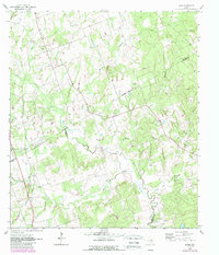
1962 Map of Hicks
USGS Topo · Published 1989About this map
The boundary lines of Milam, Burleson, and Lee Counties converge in this landscape defined by the winding course of East Yegua Creek and its many tributaries. In the early 1960s, the small settlement of Hicks sat at the junction of several rural routes, supported by local industry like the Hicks Mine and various Mines found further south. An Old Grade Railroad cuts across the western portion of the sheet, tracing the path of former transit through the rolling Hills. For genealogists and local historians, the map documents significant community landmarks such as Harmony Cem and the Black Jack Ch. Drainage patterns from Allen Creek and Pin Oak Branch illustrate the natural topography that shaped the development of these rural Texas outposts during the mid-twentieth century.
Find a feature on this map
22 named features on this map. Tap any name to fly to it.
Don’t see what you’re looking for? This feature index may not catch every label — zoom into the map to look around manually.
Map Details
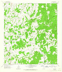
Editions of this 1962 Hicks Map
2 editions found
Other maps of this area

1885 · Taylor
USGS Topo · 1:125,000

1885 · Bastrop
USGS Topo · 1:125,000

1887 · Taylor
USGS Topo · 1:125,000

1893 · Bastrop
USGS Topo · 1:125,000

1894 · Taylor
USGS Topo · 1:125,000

1904 · Bastrop
USGS Topo · 1:125,000

1919 · Dime Box
USGS Topo · 1:62,500

1948 · Lexington
USGS Topo · 1:62,500

1950 · Lexington
USGS Topo · 1:62,500

1954 · Austin
USGS Topo · 1:250,000