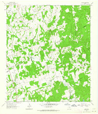
1962 Map of Hicks
USGS Topo · Published 1964About this map
Hicks sits at a geographic crossroads in the early 1960s where the borders of Milam, Lee, and Burleson counties converge. This interior Texas landscape is defined by the winding course of East Yegua Creek and its numerous tributaries, including Allen Branch and Pin Oak Branch. The presence of a legacy Railroad Grade cutting through the western portion of the map indicates a shifting transportation network, while industrial activity remains visible at the Hicks Mine and a local Gravel Pit.
Find a feature on this map
19 named features on this map. Tap any name to fly to it.
Don’t see what you’re looking for? This feature index may not catch every label — zoom into the map to look around manually.
Map Details
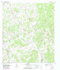
Editions of this 1962 Hicks Map
2 editions found
Other maps of this area

1885 · Taylor
USGS Topo · 1:125,000

1885 · Bastrop
USGS Topo · 1:125,000

1887 · Taylor
USGS Topo · 1:125,000

1893 · Bastrop
USGS Topo · 1:125,000

1894 · Taylor
USGS Topo · 1:125,000

1904 · Bastrop
USGS Topo · 1:125,000

1919 · Dime Box
USGS Topo · 1:62,500

1948 · Lexington
USGS Topo · 1:62,500

1950 · Lexington
USGS Topo · 1:62,500

1954 · Austin
USGS Topo · 1:250,000