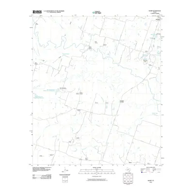
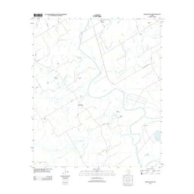
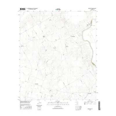
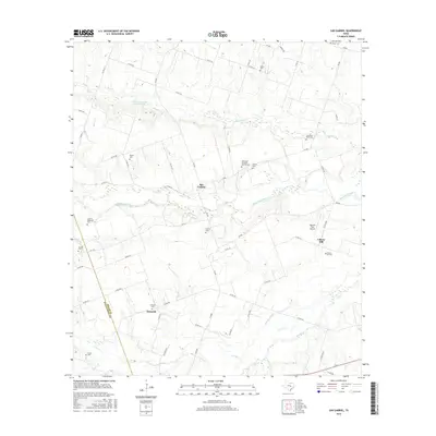
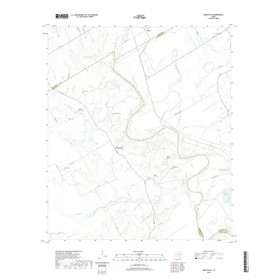
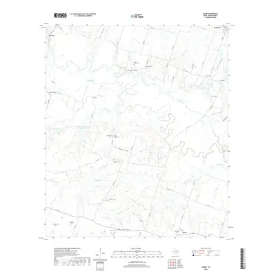
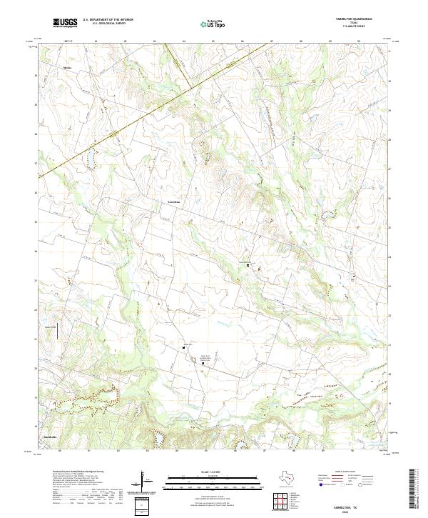
1963 Map of Yarrelton
USGS Topo · Published 1991About this map
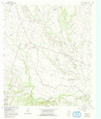
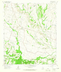
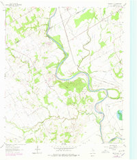
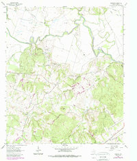
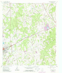
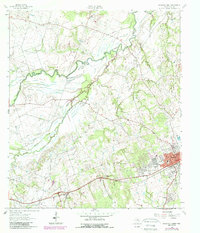
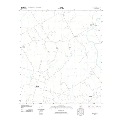
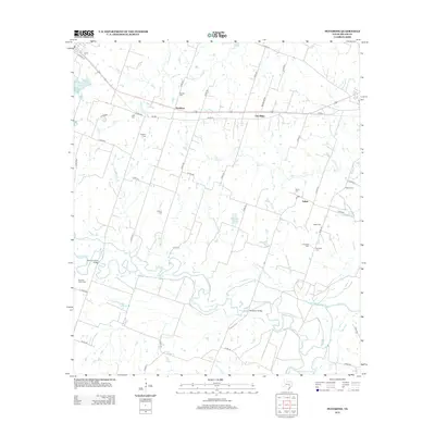
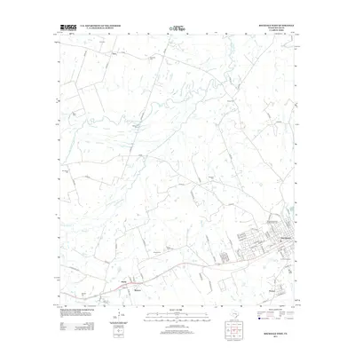
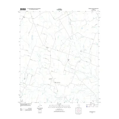
The confluence of North Elm Creek and Big Elm Creek shapes the agricultural landscape of this Texas region, where the borders of Milam, Bell, and Falls Counties meet along an Indefinite Boundary. In the early 1960s, small rural communities like Yarrelton and Marak anchored the local social fabric, with the Community Hall in Yarrelton serving as a central landmark for the surrounding farming families. Further south, the town of Buckholts marks a shift toward more concentrated settlement near Lipan Creek. The presence of a Landing Field and a Gaging Sta on the North Elm indicates the early infrastructure supporting both local aviation and water management during this era. This survey, based on 1962 aerial photography, documents a network of rural roads and fence lines that define the territory before modern suburban expansion began to alter the character of the Brazos River basin tributaries.
Find a feature on this map
21 named features on this map. Tap any name to fly to it.
Don’t see what you’re looking for? This feature index may not catch every label — zoom into the map to look around manually.
Map Details
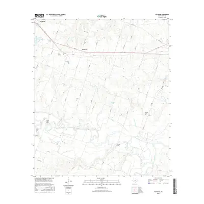
Editions of this 1963 Yarrelton Map
2 editions found
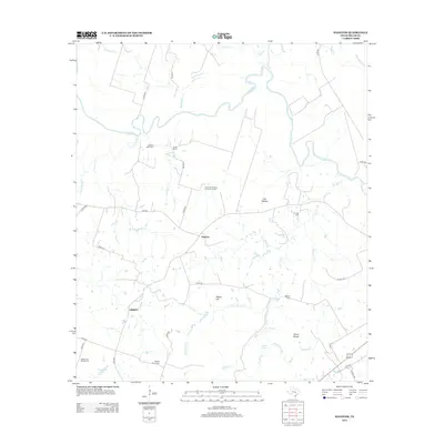
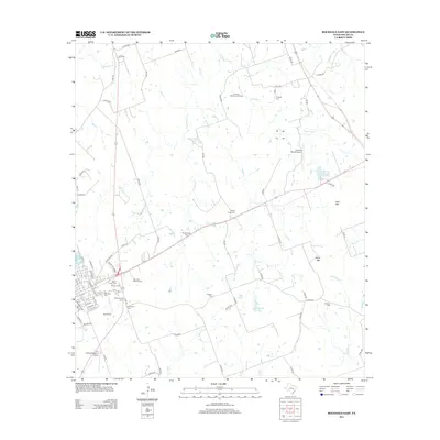
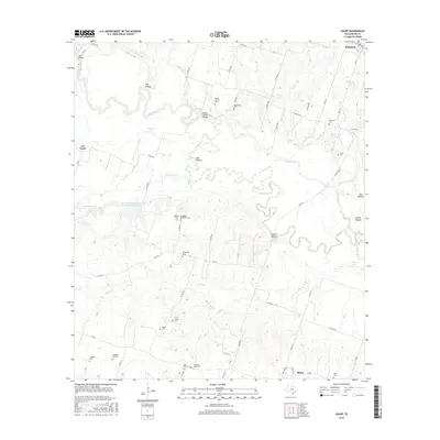
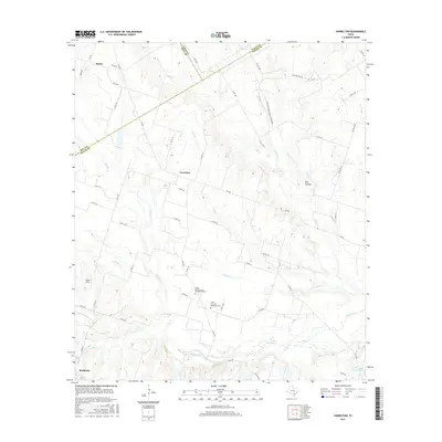
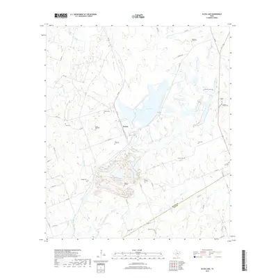
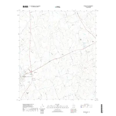
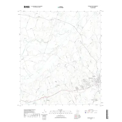
Historical Maps of Buckholts Through Time
66 maps found
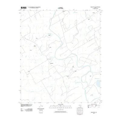
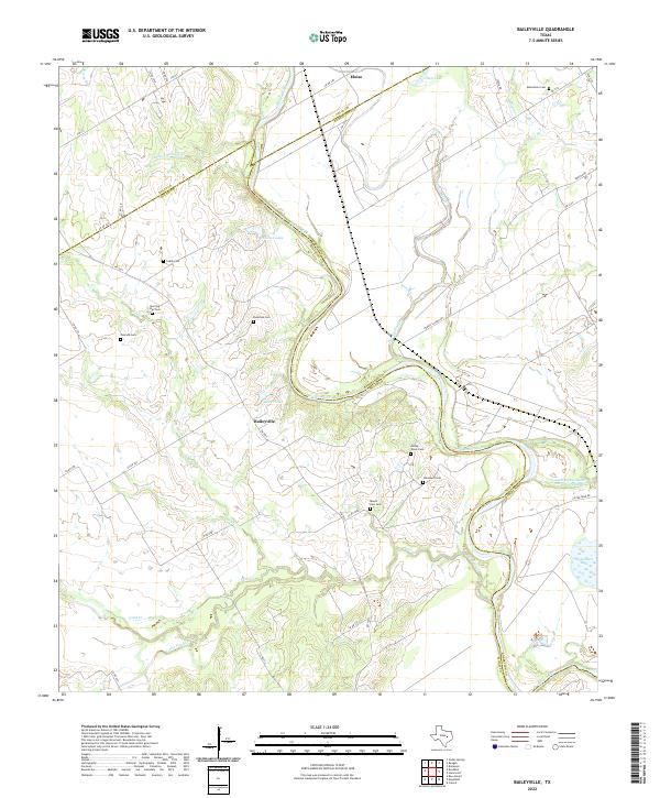
1961 Baileyville
Milam County, TX
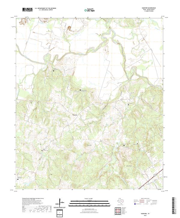
1961 Hanover
Milam County, TX
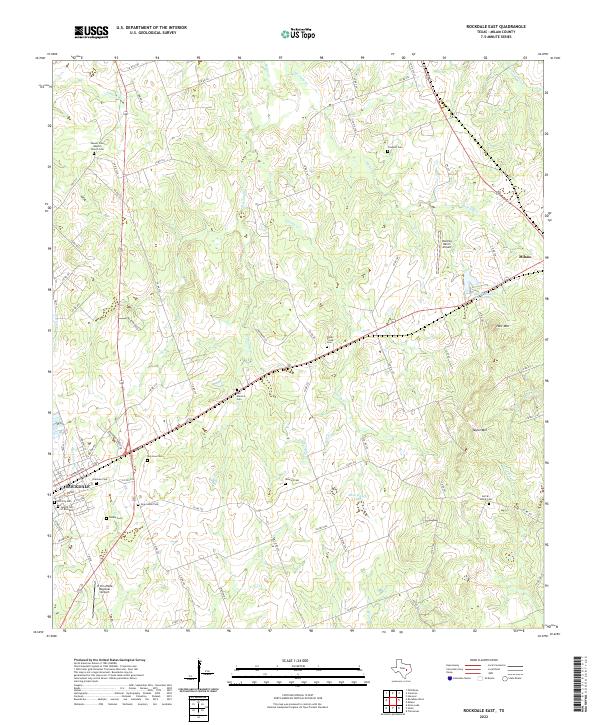
1961 Rockdale East
Milam County, TX
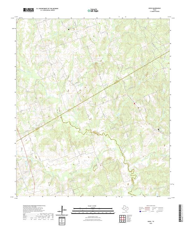
1962 Hicks
Milam County, TX
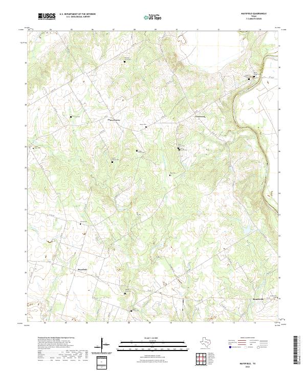
1962 Maysfield
Milam County, TX
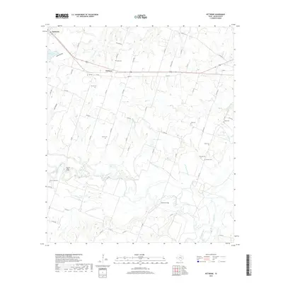
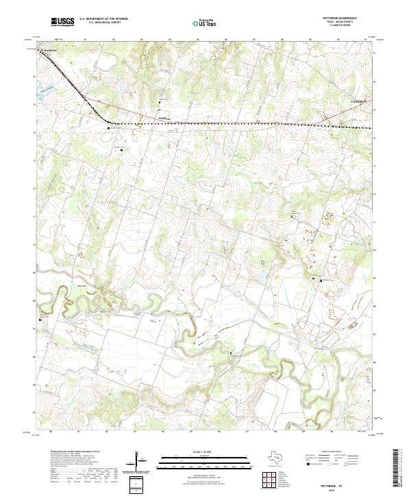
1962 Pettibone
Milam County, TX
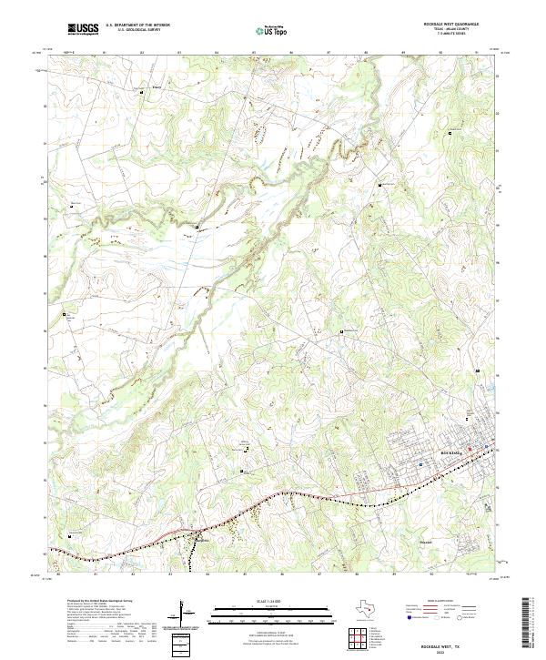
1962 Rockdale West
Milam County, TX
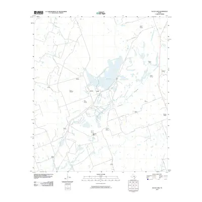
1963 Alcoa Lake
Milam County, TX
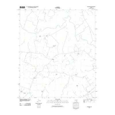
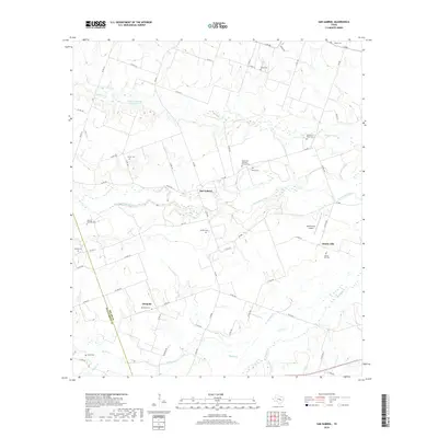
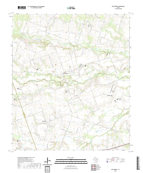
1963 San Gabriel
Milam County, TX
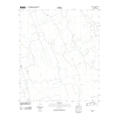
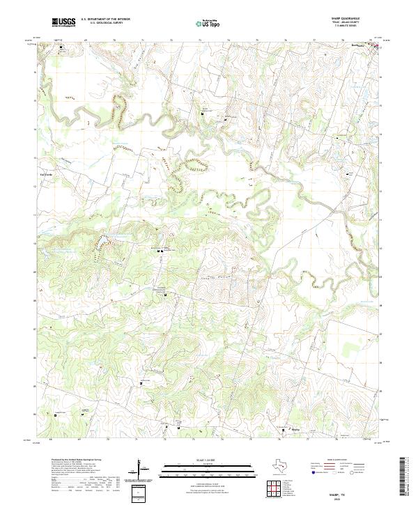
1963 Sharp
Milam County, TX
1963 Yarrelton
Milam County, TX
2010 Alcoa Lake
Milam County, TX
2010 Baileyville
Milam County, TX
2010 Hanover
Milam County, TX
2010 Hicks
Milam County, TX
2010 Maysfield
Milam County, TX
2010 Pettibone
Milam County, TX

2010 Rockdale East
Milam County, TX
2010 Rockdale West
Milam County, TX
2010 San Gabriel
Milam County, TX
2010 Sharp
Milam County, TX
2010 Yarrelton
Milam County, TX
2012 San Gabriel
Milam County, TX
2013 Alcoa Lake
Milam County, TX
2013 Baileyville
Milam County, TX
2013 Hanover
Milam County, TX
2013 Hicks
Milam County, TX
2013 Maysfield
Milam County, TX
2013 Pettibone
Milam County, TX
2013 Rockdale East
Milam County, TX
2013 Rockdale West
Milam County, TX
2013 Sharp
Milam County, TX
2013 Yarrelton
Milam County, TX
2016 Alcoa Lake
Milam County, TX
2016 Baileyville
Milam County, TX
2016 Hanover
Milam County, TX

2016 Hicks
Milam County, TX
2016 Maysfield
Milam County, TX
2016 Pettibone
Milam County, TX
2016 Rockdale East
Milam County, TX
2016 Rockdale West
Milam County, TX
2016 San Gabriel
Milam County, TX
2016 Sharp
Milam County, TX
2016 Yarrelton
Milam County, TX
2019 Alcoa Lake
Milam County, TX
2019 Baileyville
Milam County, TX
2019 Hanover
Milam County, TX
2019 Hicks
Milam County, TX
2019 Maysfield
Milam County, TX
2019 Pettibone
Milam County, TX
2019 Rockdale East
Milam County, TX
2019 Rockdale West
Milam County, TX
2019 San Gabriel
Milam County, TX
2019 Sharp
Milam County, TX
2019 Yarrelton
Milam County, TX

2022 Alcoa Lake
Milam County, TX
2022 Baileyville
Milam County, TX
2022 Hanover
Milam County, TX
2022 Hicks
Milam County, TX
2022 Maysfield
Milam County, TX
2022 Pettibone
Milam County, TX
2022 Rockdale East
Milam County, TX
2022 Rockdale West
Milam County, TX
2022 San Gabriel
Milam County, TX
2022 Sharp
Milam County, TX
2022 Yarrelton
Milam County, TX