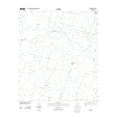
2013 Map of Sharp
USGS Topo · Published 2013About this map
The Little River meanders across this rural landscape in Milam County, defining a territory of winding hollows and family-named cemeteries. Settled points like Buckholts, Sharp, and Val Verde anchor the road network, while the river's influence is seen in features such as Cutoff Slough and the historical Cummins Crossing. The distribution of burial sites, including the Bryant Station Cem, Graham McQueen Cem, and the Old Lilac Black Cem, offers a detailed map of early family homesteads and community centers in this part of Central Texas.
Find a feature on this map
65 named features on this map. Tap any name to fly to it.
Don’t see what you’re looking for? This feature index may not catch every label — zoom into the map to look around manually.
Map Details
Editions of this 2013 Sharp Map
This is the sole edition of this map. No revisions or reprints were ever made.
Other maps of this area

1885 · Taylor
USGS Topo · 1:125,000

1887 · Taylor
USGS Topo · 1:125,000

1894 · Taylor
USGS Topo · 1:125,000

1910 · Buckholts
USGS Topo · 1:24,000

1912 · Buckholts
USGS Topo · 1:31,680

1954 · Austin
USGS Topo · 1:250,000

1962 · Rockdale West
USGS Topo · 1:24,000
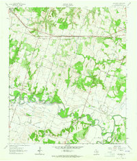
1962 · Pettibone
USGS Topo · 1:24,000
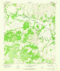
1963 · Sharp
USGS Topo · 1:24,000

1963 · Friendship
USGS Topo · 1:24,000