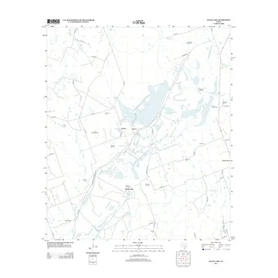
2013 Map of Alcoa Lake
USGS Topo · Published 2013About this map
Alcoa Lake and the industrial infrastructure of the Sandow and Alcoa settlements dominate this central Texas landscape. This 2013 survey reveals a region defined by its water management and agricultural roots, where the course of East Yegua Creek and its many tributaries like Allen Creek and Walleye Creek dictate the layout of rural roads. Genealogists will find a wealth of family history preserved in the numerous cemeteries scattered across the terrain, including Hamilton Chapel Cem and Richards- Black Cem. The map illustrates a transitional landscape near Pleasant Hill, where traditional ranching and farming lands meet the specialized needs of the local aluminum and power industries, characterized by the reservoirs and road networks like Farm-To-Market Road 1786 that support the area's development.
Find a feature on this map
53 named features on this map. Tap any name to fly to it.
Don’t see what you’re looking for? This feature index may not catch every label — zoom into the map to look around manually.
Map Details
Editions of this 2013 Alcoa Lake Map
This is the sole edition of this map. No revisions or reprints were ever made.
Other maps of this area

1885 · Taylor
USGS Topo · 1:125,000

1885 · Bastrop
USGS Topo · 1:125,000

1887 · Taylor
USGS Topo · 1:125,000

1893 · Bastrop
USGS Topo · 1:125,000

1894 · Taylor
USGS Topo · 1:125,000

1904 · Bastrop
USGS Topo · 1:125,000

1919 · Dime Box
USGS Topo · 1:62,500

1948 · Lexington
USGS Topo · 1:62,500

1950 · Lexington
USGS Topo · 1:62,500

1954 · Austin
USGS Topo · 1:250,000