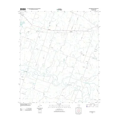
2013 Map of Pettibone
USGS Topo · Published 2013About this map
The Little River and the San Gabriel River converge in this corner of Milam County, creating a landscape defined by meandering watercourses and floodplains. Near the northern bank of the Little River, the Norman Valley settlement is marked by the Norman Valley Cemetery and the Norman Valley Bridge. This area is particularly rich in family burial grounds and historical markers, reflecting a deeply rooted rural community. Scattered throughout the townships of Pettibone, Elm Ridge, and Salem are numerous smaller sites such as Dansby Cem, Dockery Cem, and Battle Cem. The convergence of Ackerman Slough and Wolf Spring Slough with the primary river channels highlights the hydraulic complexity of this central Texas terrain, while the Holtzclaw Bridge provides a vital crossing point for local transit across the winding river bottomlands.
Find a feature on this map
59 named features on this map. Tap any name to fly to it.
Don’t see what you’re looking for? This feature index may not catch every label — zoom into the map to look around manually.
Map Details
Editions of this 2013 Pettibone Map
This is the sole edition of this map. No revisions or reprints were ever made.
Other maps of this area

1885 · Taylor
USGS Topo · 1:125,000

1887 · Taylor
USGS Topo · 1:125,000

1894 · Taylor
USGS Topo · 1:125,000

1910 · Buckholts
USGS Topo · 1:24,000

1912 · Buckholts
USGS Topo · 1:31,680

1954 · Austin
USGS Topo · 1:250,000

1956 · Milano
USGS Topo · 1:62,500

1961 · Cameron
USGS Topo · 1:24,000

1961 · Rockdale East
USGS Topo · 1:24,000

1962 · Rockdale West
USGS Topo · 1:24,000