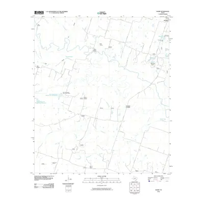
2010 Map of Sharp
USGS Topo · Published 2010About this map
The Little River meanders across this rural Milam County landscape, shaping a geography of river crossings and small agricultural settlements. In the northern reaches, the Wire Bridge and Bryant Station Bridge provide vital transit points, while further downstream, Cummins Crossing marks a historical ford in the river's path. This 2010 survey highlights a significant concentration of family and community burial grounds, essential for genealogical research. Sites such as the Bryant Station Cemetery, T K Wilson Cemetery, and Old Lilac-Black Cemetery are scattered throughout the countryside, often near small hubs like Sharp or Val Verde. To the west, large-scale water management is evident through the Soil Conservation Service Site 9 Reservoir and its neighbor, Soil Conservation Service Site 10 Reservoir. These reservoirs, along with numerous dams like the Tomascik Lake Dam, illustrate the 20th-century transition towards engineered water systems for local agriculture and soil preservation.
Find a feature on this map
64 named features on this map. Tap any name to fly to it.
Don’t see what you’re looking for? This feature index may not catch every label — zoom into the map to look around manually.
Map Details
Editions of this 2010 Sharp Map
This is the sole edition of this map. No revisions or reprints were ever made.
Other maps of this area

1885 · Taylor
USGS Topo · 1:125,000

1887 · Taylor
USGS Topo · 1:125,000

1894 · Taylor
USGS Topo · 1:125,000

1910 · Buckholts
USGS Topo · 1:24,000

1912 · Buckholts
USGS Topo · 1:31,680

1954 · Austin
USGS Topo · 1:250,000

1962 · Rockdale West
USGS Topo · 1:24,000
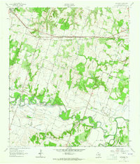
1962 · Pettibone
USGS Topo · 1:24,000
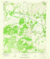
1963 · Sharp
USGS Topo · 1:24,000

1963 · Friendship
USGS Topo · 1:24,000