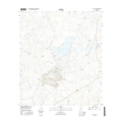
2016 Map of Alcoa Lake
USGS Topo · Published 2016About this map
Alcoa Lake and the industrial landscape surrounding Sandow dominate this central Texas terrain, where the Milam Co and Lee Co border meets. The area is defined by significant topographic modification and water management features, notably along E Yegua Cr and its tributaries like Walleye Cr and Rocky Cr. This landscape reflects a deep history of land use and community presence, evidenced by the high density of small family and community burial grounds dispersed throughout the territory.
Find a feature on this map
52 named features on this map. Tap any name to fly to it.
Don’t see what you’re looking for? This feature index may not catch every label — zoom into the map to look around manually.
Map Details
Editions of this 2016 Alcoa Lake Map
This is the sole edition of this map. No revisions or reprints were ever made.
Other maps of this area

1885 · Taylor
USGS Topo · 1:125,000

1885 · Bastrop
USGS Topo · 1:125,000

1887 · Taylor
USGS Topo · 1:125,000

1893 · Bastrop
USGS Topo · 1:125,000

1894 · Taylor
USGS Topo · 1:125,000

1904 · Bastrop
USGS Topo · 1:125,000

1919 · Dime Box
USGS Topo · 1:62,500

1948 · Lexington
USGS Topo · 1:62,500

1950 · Lexington
USGS Topo · 1:62,500

1954 · Austin
USGS Topo · 1:250,000