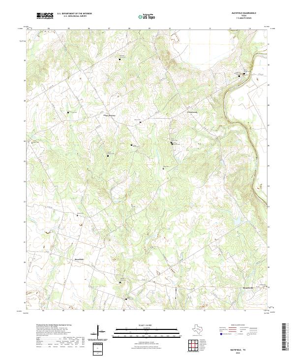
2022 Map of Maysfield
USGS Topo · Published 2022About this map
Jones Prairie and the surrounding Milam County countryside are defined by a network of small family and community burial grounds, revealing a deeply rooted history of rural settlement. This landscape, captured in the early 21st century, shows a persistent pattern of agricultural life where communities like Maysfield and Branchville are connected by farm-to-market roads and county lanes. The eastern edge of the quadrangle is shaped by the meandering Brazos River, which forms the county line with Robertson.
Find a feature on this map
56 named features on this map. Tap any name to fly to it.
Don’t see what you’re looking for? This feature index may not catch every label — zoom into the map to look around manually.
Map Details
Editions of this 2022 Maysfield Map
This is the sole edition of this map. No revisions or reprints were ever made.
Other maps of this area

1954 · Waco
USGS Topo · 1:250,000

1954 · Austin
USGS Topo · 1:250,000

1955 · Waco
USGS Topo · 1:250,000

1961 · Hanover
USGS Topo · 1:24,000

1961 · Cameron
USGS Topo · 1:24,000

1961 · Baileyville
USGS Topo · 1:24,000

1962 · Calvert
USGS Topo · 1:24,000

1962 · Maysfield
USGS Topo · 1:24,000

1962 · Rosebud
USGS Topo · 1:24,000

1962 · Hammond
USGS Topo · 1:24,000