
1962 Map of Calvert
USGS Topo · Published 1964About this map
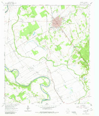
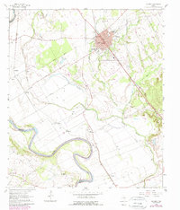
Calvert sits at the heart of this Robertson County landscape, its dense street grid positioned between the Missouri Pacific and Southern Pacific railroads. The area's social and spiritual life is recorded through numerous landmarks, including Spikes High Sch, the Calvert Country Club, and distinct burial grounds such as Calvert Beauty Cem and Sunnyside Cem. To the west and south, the Brazos River meanders in wide loops, defining the border with Milam County. The surrounding bottomlands are marked by agricultural and industrial features like Peters Slough, the Old Grade Railroad, and a Gravel Pit. Smaller communities and sidings like New Hope, A J Siding, and Marvin trace the transport corridors of the early 1960s, while numerous rural houses of worship, including Providence Ch and Garrett Grove Ch, suggest the distribution of historic family settlements.
Find a feature on this map
43 named features on this map. Tap any name to fly to it.
Don’t see what you’re looking for? This feature index may not catch every label — zoom into the map to look around manually.
Map Details
Editions of this 1962 Calvert Map
3 editions found
Other maps of this area

1954 · Waco
USGS Topo · 1:250,000

1954 · Austin
USGS Topo · 1:250,000

1955 · Waco
USGS Topo · 1:250,000

1961 · Hanover
USGS Topo · 1:24,000

1961 · Hearne North
USGS Topo · 1:24,000

1961 · Baileyville
USGS Topo · 1:24,000

1961 · Hearne South
USGS Topo · 1:24,000

1962 · Maysfield
USGS Topo · 1:24,000

1962 · Hammond
USGS Topo · 1:24,000
1962 · Gause
USGS Topo · 1:24,000