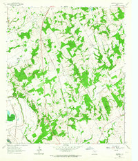
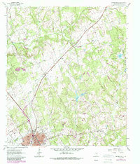
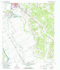
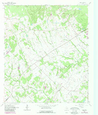
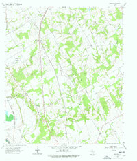
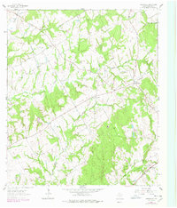
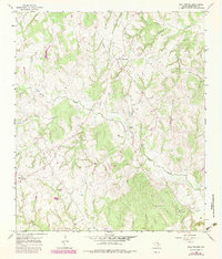
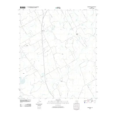
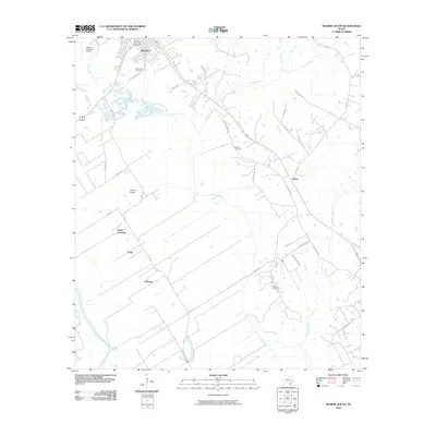
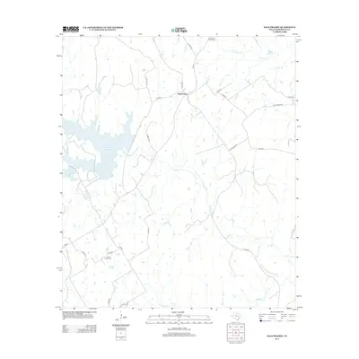
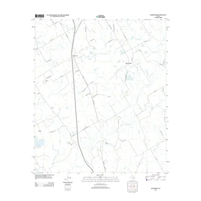
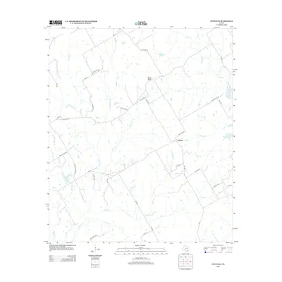
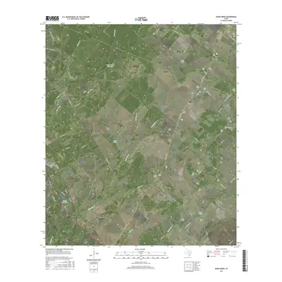
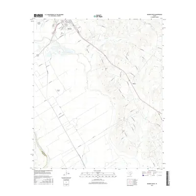
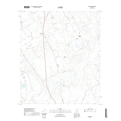
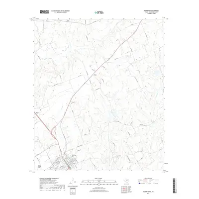
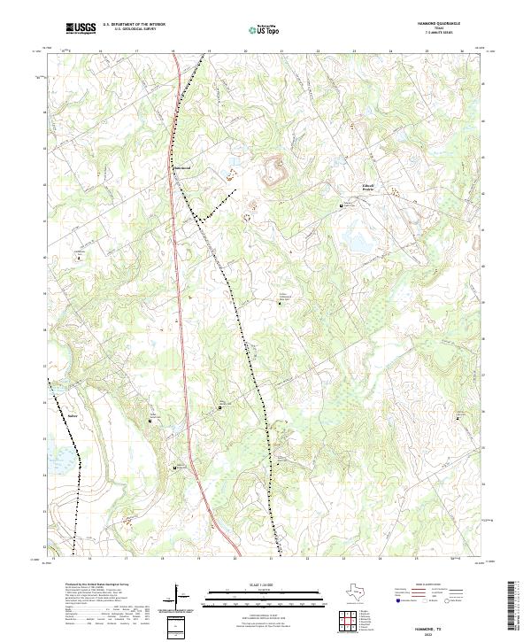
1962 Map of Hammond
USGS Topo · Published 1964About this map
The Southern Pacific and Missouri Pacific railroads anchor the rural landscape of Robertson County in the early 1960s, cutting through a mosaic of small farming communities and creek drainages. The settlement of Hammond serves as a focal point, supported by the Hammond High Sch and nearby Bethlehem Ch and Bethlehem Cem. The area’s geography is defined by the winding course of the Brazos River and its associated Brazos River Diversion Channel, which separate the floodplains from the higher prairie ground where several country churches, including Shiloh Ch and Morning Star Ch, provided social centers for dispersed families. A network of minor waterways like Walnut Creek and Bee Branch feed into the river system, while local industry is represented by a Gravel Pit and numerous pipelines that traverse the terrain alongside established settlements like Beacon and Tidwell Prairie.
Find a feature on this map
29 named features on this map. Tap any name to fly to it.
Don’t see what you’re looking for? This feature index may not catch every label — zoom into the map to look around manually.
Map Details
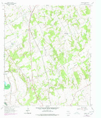
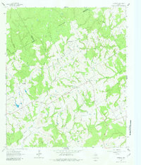
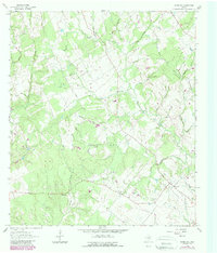
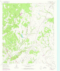
Editions of this 1962 Hammond Map
3 editions found
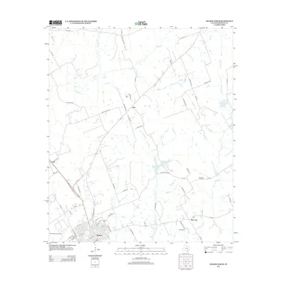
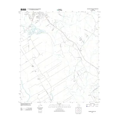
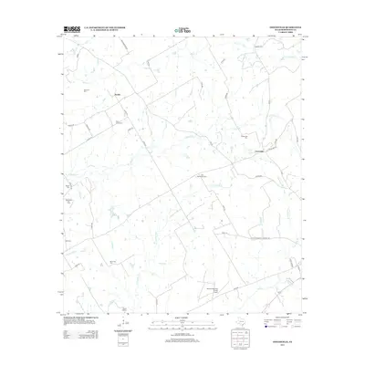
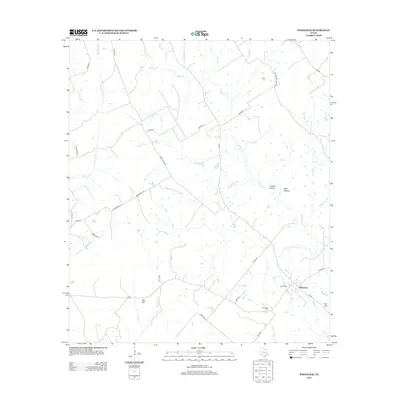
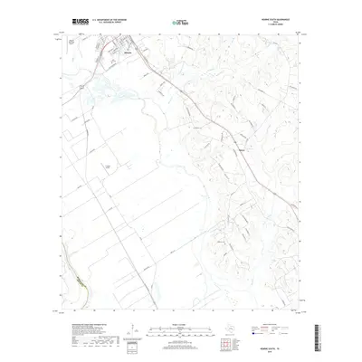
Historical Maps of Tidwell Prairie Through Time
62 maps found
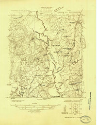
1925 Marquez No. 1
Robertson County, TX
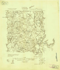
1925 Marquez No. 4
Robertson County, TX
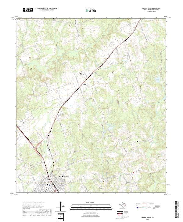
1961 Hearne North
Robertson County, TX
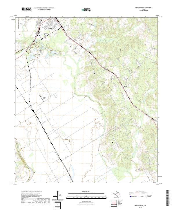
1961 Hearne South
Robertson County, TX
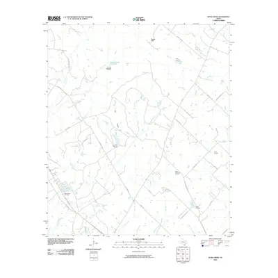
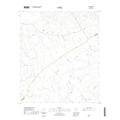
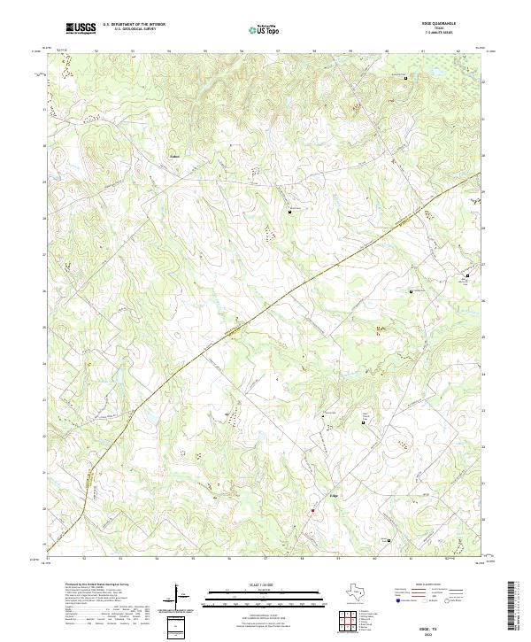
1962 Edge
Robertson County, TX
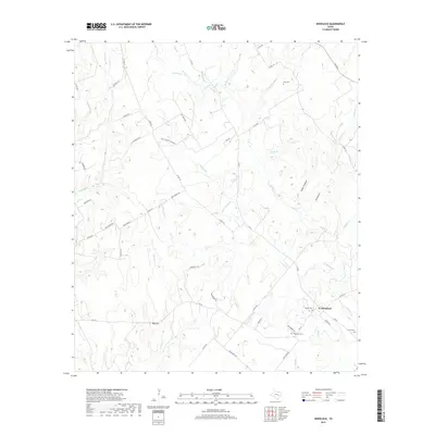
1962 Hammond
Robertson County, TX
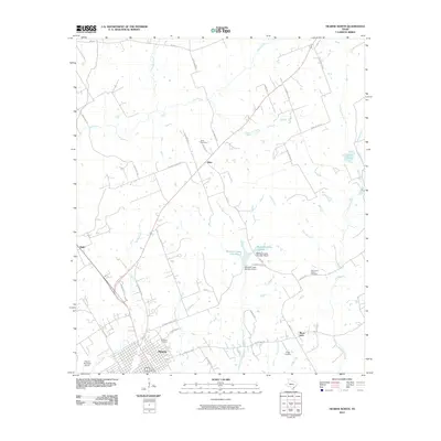
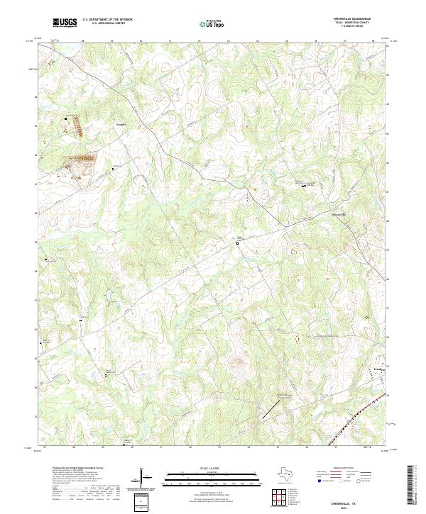
1962 Owensville
Robertson County, TX
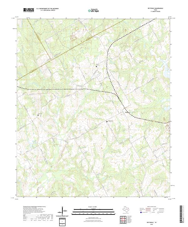
1962 Petteway
Robertson County, TX
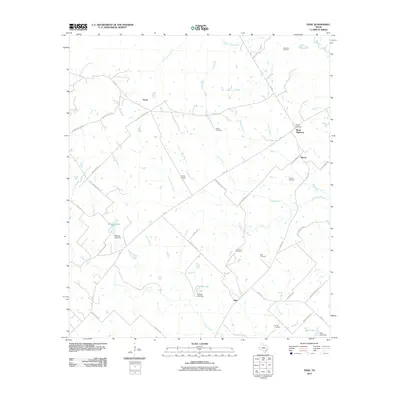
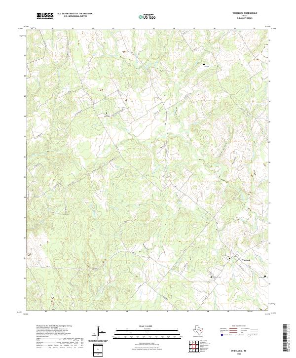
1962 Wheelock
Robertson County, TX
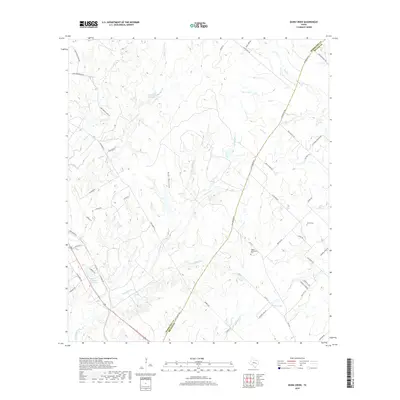
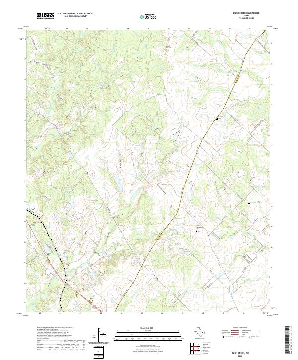
1963 Dunn Creek
Robertson County, TX
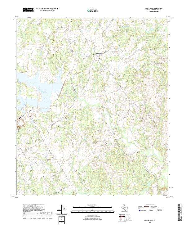
1965 Bald Prairie
Robertson County, TX
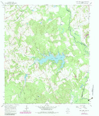
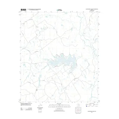
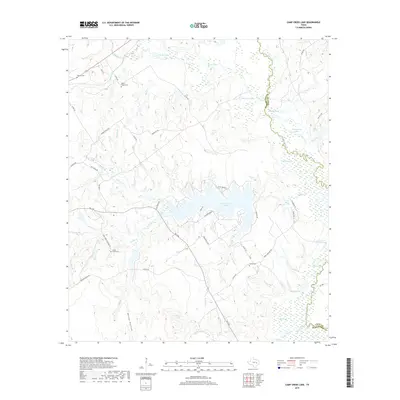
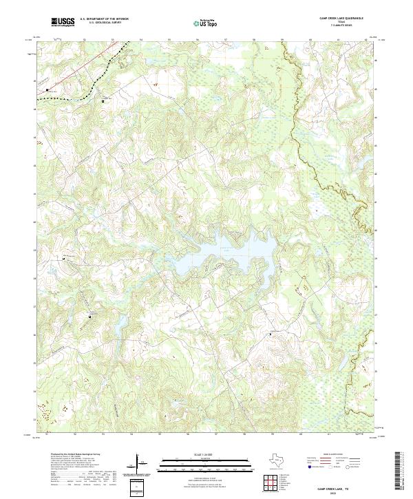
1965 Camp Creek Lake
Robertson County, TX
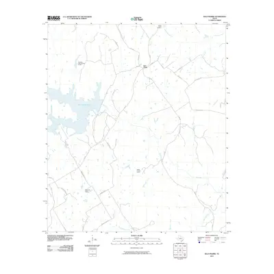
2010 Bald Prairie
Robertson County, TX
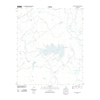
2010 Camp Creek Lake
Robertson County, TX
2010 Dunn Creek
Robertson County, TX
2010 Edge
Robertson County, TX
2010 Hammond
Robertson County, TX
2010 Hearne North
Robertson County, TX
2010 Hearne South
Robertson County, TX
2010 Owensville
Robertson County, TX
2010 Petteway
Robertson County, TX
2010 Wheelock
Robertson County, TX
2013 Bald Prairie
Robertson County, TX
2013 Camp Creek Lake
Robertson County, TX
2013 Dunn Creek
Robertson County, TX
2013 Edge
Robertson County, TX
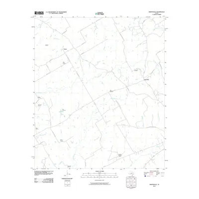
2013 Hammond
Robertson County, TX
2013 Hearne North
Robertson County, TX
2013 Hearne South
Robertson County, TX
2013 Owensville
Robertson County, TX
2013 Petteway
Robertson County, TX
2013 Wheelock
Robertson County, TX
2016 Bald Prairie
Robertson County, TX
2016 Camp Creek Lake
Robertson County, TX
2016 Dunn Creek
Robertson County, TX
2016 Edge
Robertson County, TX
2016 Hammond
Robertson County, TX
2016 Hearne North
Robertson County, TX
2016 Hearne South
Robertson County, TX
2016 Owensville
Robertson County, TX
2016 Petteway
Robertson County, TX

2016 Wheelock
Robertson County, TX
2019 Bald Prairie
Robertson County, TX
2019 Camp Creek Lake
Robertson County, TX
2019 Dunn Creek
Robertson County, TX
2019 Edge
Robertson County, TX
2019 Hammond
Robertson County, TX
2019 Hearne North
Robertson County, TX
2019 Hearne South
Robertson County, TX
2019 Owensville
Robertson County, TX
2019 Petteway
Robertson County, TX
2019 Wheelock
Robertson County, TX
2022 Bald Prairie
Robertson County, TX
2022 Camp Creek Lake
Robertson County, TX
2022 Dunn Creek
Robertson County, TX
2022 Edge
Robertson County, TX
2022 Hammond
Robertson County, TX
2022 Hearne North
Robertson County, TX
2022 Hearne South
Robertson County, TX
2022 Owensville
Robertson County, TX
2022 Petteway
Robertson County, TX
2022 Wheelock
Robertson County, TX