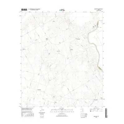
2016 Map of Maysfield
USGS Topo · Published 2016About this map
The Brazos River forms a serpentine natural boundary between Milam and Robertson counties in this Central Texas survey. The landscape is characterized by a dense network of watercourses, including String Prairie Br, Tyson Cr, and McLaughlin Cr, which carve through the terrain between small agricultural communities. Central to the area is Maysfield, located at the junction of several local routes like FM 485.
Find a feature on this map
54 named features on this map. Tap any name to fly to it.
Don’t see what you’re looking for? This feature index may not catch every label — zoom into the map to look around manually.
Map Details
Editions of this 2016 Maysfield Map
This is the sole edition of this map. No revisions or reprints were ever made.
Other maps of this area

1954 · Waco
USGS Topo · 1:250,000

1954 · Austin
USGS Topo · 1:250,000

1955 · Waco
USGS Topo · 1:250,000

1961 · Hanover
USGS Topo · 1:24,000

1961 · Cameron
USGS Topo · 1:24,000

1961 · Baileyville
USGS Topo · 1:24,000

1962 · Calvert
USGS Topo · 1:24,000

1962 · Maysfield
USGS Topo · 1:24,000

1962 · Rosebud
USGS Topo · 1:24,000

1962 · Hammond
USGS Topo · 1:24,000