Loading...
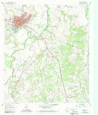
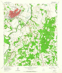
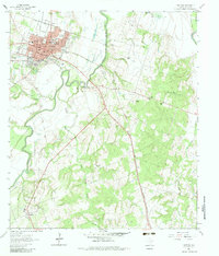
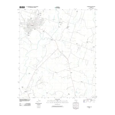
Loading map...1961 Map of Cameron
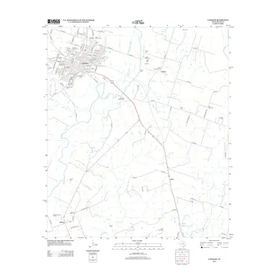
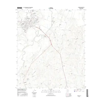
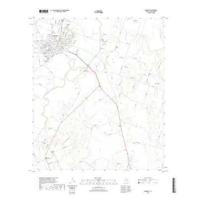
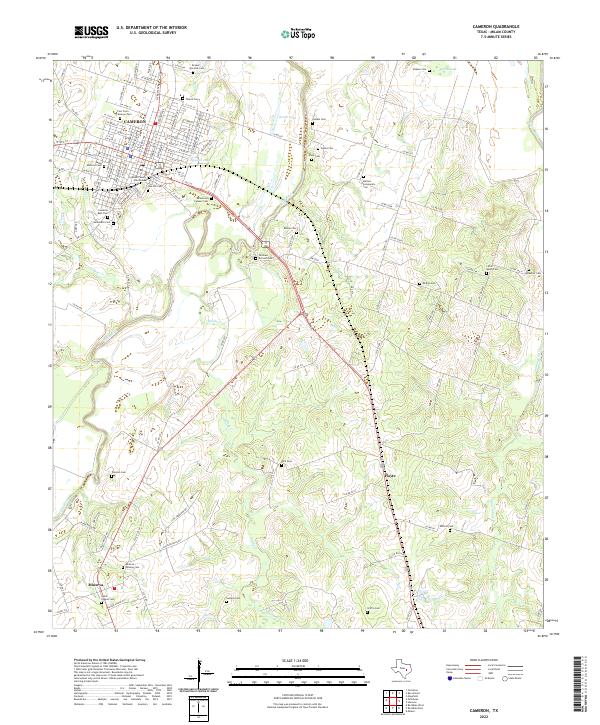
USGS Topo · Published 1989About this map
The county seat of Cameron serves as the focal point for this survey, showcasing a dense network of civic and educational infrastructure such as the Courthouse, Yoe High Sch, and the Thomas High Sch. To the south, the landscape transitions into an area defined by agricultural and industrial activity, including the Houston Oklahoma Oil Field and scattered Gravel Pits.
Find a feature on this map
50 named features on this map. Tap any name to fly to it.
Don’t see what you’re looking for? This feature index may not catch every label — zoom into the map to look around manually.
Map Details
Date Portrayed1961
Date Published1989
PublisherU.S. Geological Survey
Map TypeTopographic
Scale1:24,000
Physical Dimensions23 x 27 inches
Editions of this 1961 Cameron Map
3 editions found
Historical Maps of Cameron Through Time
6 maps found
Featured Locations
Source Details
SourceU.S. Geological Survey
CopyrightPublic Domain