2022 Map of Cameron
USGS Topo · Published 2022About this map
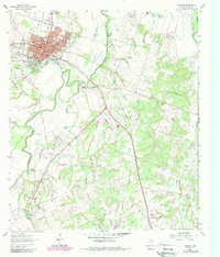
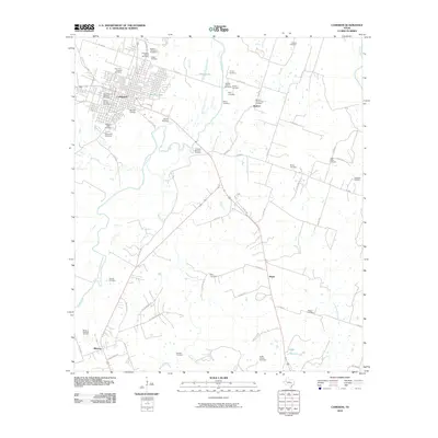
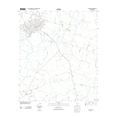
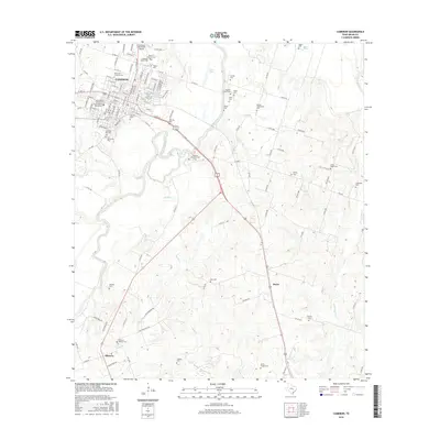
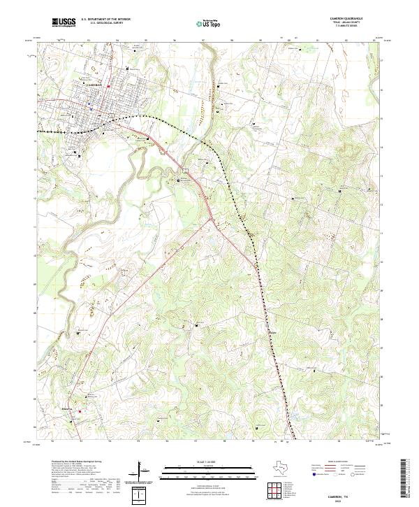
Cameron serves as the focal point of this Milam County landscape, where the Milam County Courthouse anchors a traditional grid of streets surrounded by a dense network of burial grounds and watercourses. The town's historical geography is defined by its proximity to the Little River, which snakes across the center of the sheet, and a series of smaller tributaries like Sandy Cr and Mustang Cr. The high density of family and community cemeteries, such as the Cameron Pioneer Cem, Pjatka Cem, and Ledbetter Cem, suggests a long-established rural population with deep genealogical roots in the area. Settlement patterns extend south to Minerva and east toward Hoyte, connected by a complex system of county roads and highway corridors that navigate the terrain around oxbow features like Green Lake and Hobson Lake.
Find a feature on this map
128 named features on this map. Tap any name to fly to it.
Don’t see what you’re looking for? This feature index may not catch every label — zoom into the map to look around manually.
Map Details
Editions of this 2022 Cameron Map
This is the sole edition of this map. No revisions or reprints were ever made.
Historical Maps of Cameron Through Time
6 maps found